

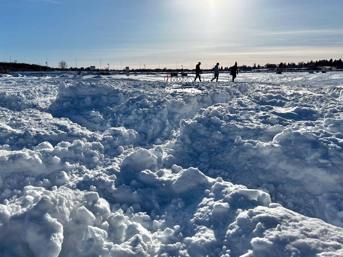
Every winter, we wonder just how much of the white stuff will come down over the course of the season.
We will start off with probabilities, as lately I have been constantly reminded of how our weather memories tend to grow over time, but long-term climate records give a clearer picture, which is something that often surprises people.
What is ‘normal’ snowfall?
Read Also

Forecasting spring 2026 weather on the Prairies
What weather can farmers expect across Manitoba, Alberta and Saskatchewan as they head into seeding? Plus: a lesson on what makes the seasons turn
Environment and Climate Change Canada’s climate normals make it possible to compare snowfall behaviour across the region, without analyzing each province separately. Despite differences in terrain and storm tracks, the Prairie provinces show remarkably similar snowfall probabilities. Manitoba and Alberta align closely, while Saskatchewan tends to be slightly drier, recording fewer days with total snowfall above five centimetres.
To understand how much snow typically falls, we first look at single-day snowfall. In Winnipeg, a strong representative station thanks to its long period of record, there is a 90 per cent chance of seeing around 30 snowfall days per winter. About half of winters see closer to 45, and only once in roughly 100 years will that number reach 70. A snowfall day simply means any measurable amount.
On those days, about 90 per cent produce at least a light dusting (0.2 cm). Roughly half exceed two centimetres, which means half fall short of that mark. Days with five centimetres or more occur only five to 10 per cent of the time, while 10-centimetre days show up once or twice in a typical winter. A single-day snowfall over 30 cm is extremely rare — around a 0.1 per cent probability, or once every 20 to 40 years.
But single-day totals don’t tell the whole story. Many Prairie storms extend across several days, so looking at snowfall events — defined as snow falling on two or more consecutive days — gives a better idea of what we experience on the ground. Winnipeg averages about 20 such events per winter, with around half of winters reaching the upper-20s. Only about once per century would an area see 40 or more snowfall events.
Most multi-day events remain small. Ninety per cent bring at least half a centimetre, and about half exceed two centimetres. When we move into higher totals, probabilities shift noticeably compared to single-day snowfall. About 30 per cent of multi-day events exceed five cm. Totals of 10 cm or more appear roughly 10 per cent of the time — usually once or twice per winter. These are the systems that commonly disrupt travel and require extended cleanup.
The largest events, multi-day accumulations of more than 30 cm, are still uncommon, but less rare than 30-plus cm in a single day. They occur roughly once every 200 events, or about once every decade. These storms tend to be remembered not because of a dramatic single burst, but because of steady snow, drifting, and lingering impacts.
It’s important to remember that these figures represent long-term averages. Statistics don’t prevent several large storms from happening in one season, nor do they guarantee one will occur within a decade. Weather clusters naturally, and our memories often exaggerate past extremes.
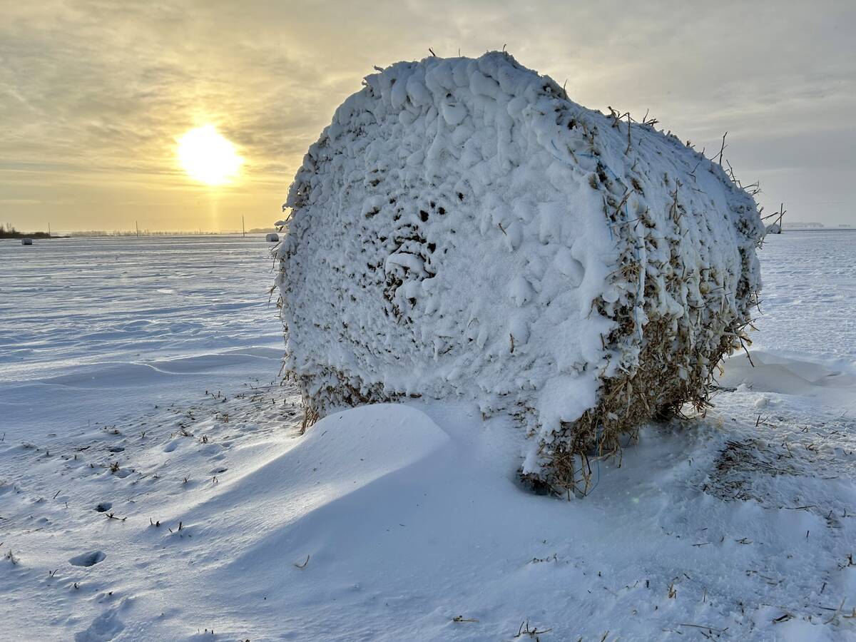
Winter follows warm November
Now on to our monthly weather review and our look ahead to see what the next couple of months might have in hold for us. November was a warm month right across the Prairies with temperatures ranging between 1.6 C above-average in Edmonton to 3.8 C above-average in Winnipeg. The warm spot was Calgary with an actual mean monthly temperature of -0.4 C with the cold spot going to Peace River at -5.4 C.
Looking at precipitation for the month, Manitoba, eastern Saskatchewan, and northwestern Alberta saw a dry month. The driest location was Brandon with only 2.7 mm of water equivalent precipitation reported. The wet spot was Calgary which reported 16.7 mm, about four mm above the long-term average.
Looking back at the different weather forecasts or predictions, both the Old Farmers’ Almanac, and Canadian CanSIPS model predicted a warmer than average start to the winter. Unfortunately, neither of these forecasts got the precipitation forecast correct as the Old Farmers’ Almanac called for above average amounts and the CanSIPS model called for near average amounts.
Winter snow predictions
Looking at the latest predictions and model runs, and as usual starting off with the almanacs, the Old Farmers’ Almanac is calling for a warmer than average December and January with above average precipitation. The Canadian Farmers’ Almanac, which unfortunately will no longer be with as after next year, is calling for cold and snowy over the next couple of months, with clipper systems and a late January blizzard.
Next up, the weather models. The CFS model is calling for a brief warm-up to start December with colder than average temperatures moving in during the second half of the month. These cold temperatures are then forecasted to moderate as we move into January with most locations expected to see near to slightly above average temperatures. Its precipitation forecasts is calling for near average amounts in both months, with western Alberta having the greatest chance of seeing above average amounts.
Looking at the CanSIPS model, it is calling for near to slightly below average temperatures across the eastern Prairies in December with western regions seeing above average values. January is forecasted to be cold with all areas expected to see well below average temperatures. Precipitation is forecasted to be near average right across the Prairies in both months. The European model or ECMWF is calling for near average temperatures over the next two months with above average precipitation. NOAA is also calling for above average precipitation over the next two months but is predicting below average temperatures.
Lastly, my two cents. I think we are going to see near average temperatures and precipitation in December followed by below average temperatures and above average precipitation in January.
Now, as usual, we have to sit back and see what Mother Nature will throw at us.


