What can I say about the weather this March across the Prairies? “But it was a dry cold?”
In this article we’ll look back at March’s consistently cold weather, but we’ll also look at how the meteorological winter (December to February) stacked up and how what I like to call “extended” winter — or, simply, the real winter (November to March) — turned out.
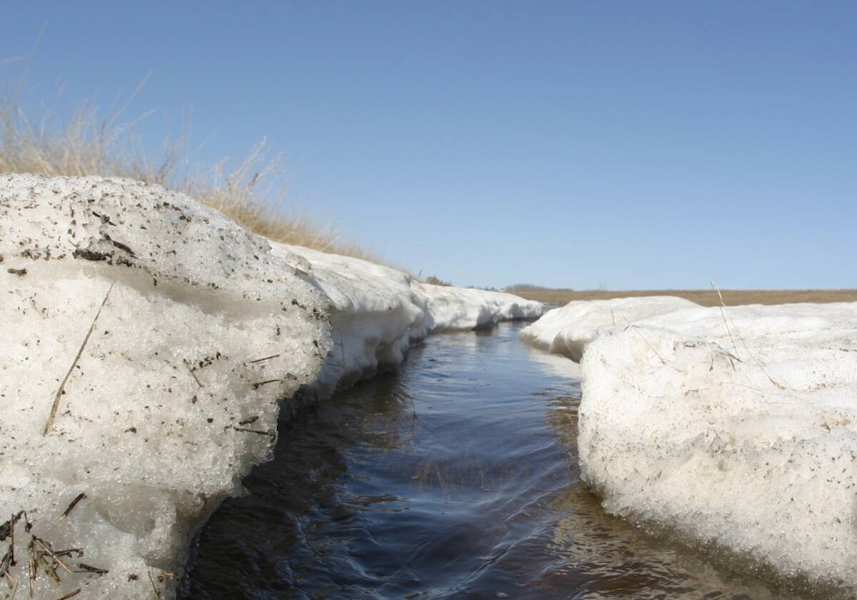
March turned out to be one darned-cold month. You might have seen the article about how the daytime high temperature in Winnipeg never made it above freezing in March and this is the first time this has happened since 1899.
Read Also
Forecasting spring 2026 weather on the Prairies
What weather can farmers expect across Manitoba, Alberta and Saskatchewan as they head into seeding? Plus: a lesson on what makes the seasons turn
While it was cold — some may say bone-chilling cold — in March, it was more about the consistency of the cold weather than the “extremeness” of it. I don’t have data for record highs and lows for the month, but I do not remember seeing any record-breaking cold in March. Usually, a cold March has an extreme cold snap that brings a week or two of really cold weather, but we end up with a few nice days here and there.
Not this year — at least, not in Manitoba and Saskatchewan, where it was cold nearly every single day.
Our region saw a few cold snaps resulting in overnight lows in the -25 C range, but it was the daytime highs that really impacted overall temperatures for the month. Southern and central Manitoba saw mean monthly temperatures in March between -11 and -12 C, which ranged from about 5 C below average in Winnipeg to 6.5 C below average in Brandon. We would have to go back to 2014 to find similar March temperatures.
Agricultural Saskatchewan saw similar temperatures, but since it has slightly warmer averages, it came in between 6 and 7 C colder than average.
The cold weather continued into Alberta but was not as extreme. Actual mean monthly temperatures in southern and central regions came in around -6 C, while in the Peace region it was about -9 C. The cold spot, compared to average, was Calgary, which came in about 5 C below average, with Edmonton and Peace River between 2 and 3 C colder than average.
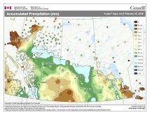
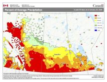
Thanks to the arctic air that brought cold weather, nearly all regions saw well-below-average precipitation. Nearly all stations I checked reported less than 10 mm of water-equivalent precipitation, with many stations reporting less than five mm.
The only exceptions were parts of southern Alberta, western Saskatchewan and Calgary, which all reported about 20 mm, or near average. Overall, it was a cold and mostly dry March.
Who called it?
Looking back at the different March forecasts, the winner is the CanSIPS model and my forecast (as I went along with the CanSIPS model). We both predicted a cold and dry March.
OK, now on to our look at winter, starting with the meteorological winter, or the December-to-February time period. Both Saskatchewan and Alberta were the coldest regions compared to average, with mean winter temperatures between 1 and 2 C below the long-term average. Alberta’s temperatures were strongly skewed by an extremely cold December. Manitoba was a little warmer compared to average, with mean temperatures ranging from around 0.5 C below average in western regions to about 0.5 C above average in the east.
Looking at the absolute temperatures, Manitoba was the cold spot, with average temperatures around -14 C, Saskatchewan -13 C and Alberta -11 C. All areas across the Prairies reported below-average precipitation during this period, except for Calgary, which saw above-average amounts.
Moving to the extended winter period, November-to-March, all regions reported below-average temperatures, with the coldest values compared to average in Saskatchewan, with readings around 2.5 C below average. Alberta was the next coldest, with readings between 1 and 2 C colder than average.
Manitoba was the warmest compared to average, with readings between 0.7 and 1.8 C colder than average. Looking at absolute temperatures, Manitoba was, once again, the cold spot, with average temperatures around -11 C, Saskatchewan -10 C, and Alberta ranging from -5 to -10 C. Precipitation during this period was similar to meteorological winter, with all stations except Calgary reporting below-average amounts.
Overall, it was a colder- and drier-than-average winter across the Prairies, no matter how you look at it.
Looking ahead
As for the spring/early summer weather outlook, the Old Farmer’s Almanac calls for warmer- and wetter-than-average conditions in April and May, followed by warm and dry weather in June.
The Canadian Farmers’ Almanac calls for near-average temperatures and precipitation as it predicts a lot of fair weather, several chances of showers and some unsettled weather.
The NOAA weather model’s latest forecast calls for below-average temperatures in Manitoba and Saskatchewan with near-average values in Alberta. Precipitation looks to be near average, with eastern Manitoba possibly seeing above-average amounts.
The usually reliable CFS model calls for below-average temperatures across the southern Prairies in April, warming to above average in May and June. Precipitation looks to be near to above average in April, above average in May, and near average in June. Unfortunately, we’ll have to wait on the CanSIPS model, as the latest model run was not available at the time of this writing.
Finally, my forecast or prediction: it looks like the cold pattern will stick around until at least the middle of April, resulting in below-average temperatures for the month. I think it will warm to near-average values in May, with above-average temperatures in June.
Precipitation is always the toughest, but I think April and June will see near- to below- average amounts, with May coming in above average.


