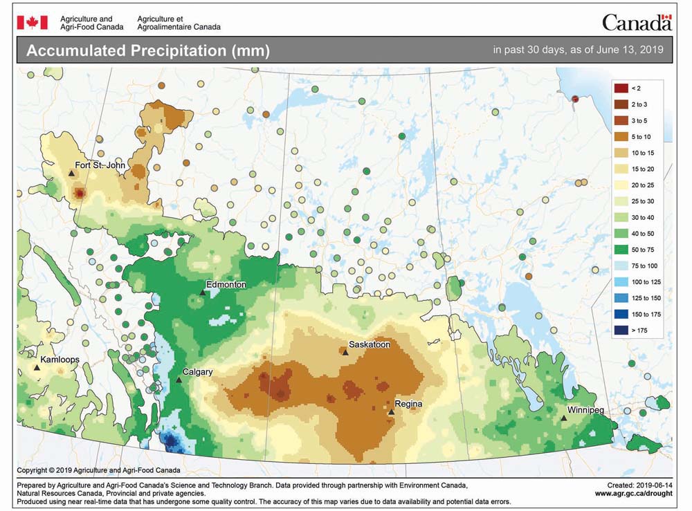
Well, last week’s forecast turned out not too bad, considering this annoying weather pattern in which we seem to be stuck. The weather models seem to be having an OK time handling the large-scale features, but are struggling with the day-to-day details.
This forecast period looks like it will be another tough one to figure out. After starting out with some fairly nice, mild and sunny weather, it looks like the second half of this week and the weekend will be quite the mixed bag of weather. I have been watching the weather models closely and they have been persistent with developing an upper-level low to our southwest on Wednesday. This low is then forecast to slowly track eastward as the week progresses. At the surface, the weather models are all over the place with the different features.
Read Also

Thunderstorms and straight-line winds
Straight-line winds in thunderstorms can cause as much damage as a tornado and are next on our weather school list exploring how and why severe summer weather forms.
The latest model runs have a surface low developing to our southwest on Thursday, bringing a mix of sun and clouds to our region along with the chance of showers and thundershowers. This pattern looks to continue right through the weekend as the surface low bounces around, forming and reforming, before it finally kicks northward and joins up with the upper low over southern Manitoba or northwestern Ontario on Sunday. Exactly where the surface low moves will control just how much sunshine or clouds we will see. Temperatures will depend upon just how much sunshine there is. If any day turns out to be cloudy, expect daytime highs to be around 20 C; if there is more sun than clouds, temperatures will climb to around 25 C.
This unpredictable and unstable pattern should clear out by early next week as a brief ridge of high pressure builds across our region, bringing mostly sunny skies and warm temperatures.
Usual temperature range for this period: Highs, 21 to 29 C; lows, 8 to 16 C.


