The weather for this forecast period is not looking that great, but it is not looking that bad either. For most of this forecast period we are going to be dealing with weak weather. That is, there will not be any strong areas of low or high pressure around to dominate the weather.
For the second half of this week we will see arctic high pressure try to slide southeastward across northern Manitoba and then into Ontario. This will help to keep things a little on the cool side, with highs on most days only making it into the low teens. With plenty of cool air in the upper atmosphere we will likely see a mix of sun and clouds on most days, with the odd chance of a shower.
Read Also
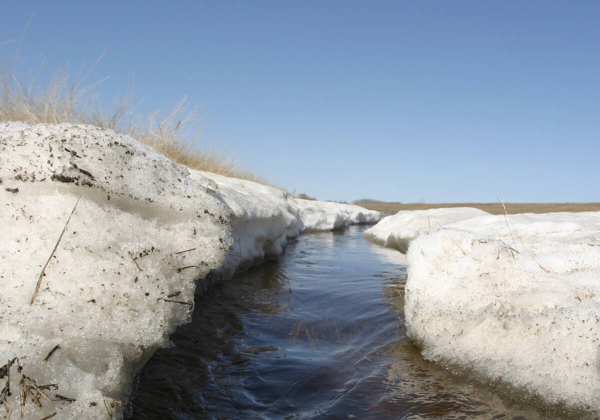
Forecasting spring 2026 weather on the Prairies
What weather can farmers expect across Manitoba, Alberta and Saskatchewan as they head into seeding? Plus: a lesson on what makes the seasons turn
This pattern will continue through the weekend but we should start to see more sun than clouds by Sunday, allowing temperatures to climb into the mid-to upper teens.
Next week is when things could become interesting. The models are playing around with developing a strong area of low pressure to our west. This low will draw in some fairly warm air ahead of it on Monday and Tuesday. By Wednesday or Thursday the main energy from this low is forecast to push through our region, bringing a good chance of some significant rain. There is a lot of uncertainty about this low, so the confidence level is fairly low.
Usual temperature range for this period: Highs: 10 to 23C. Lows: -2 to +8C.


