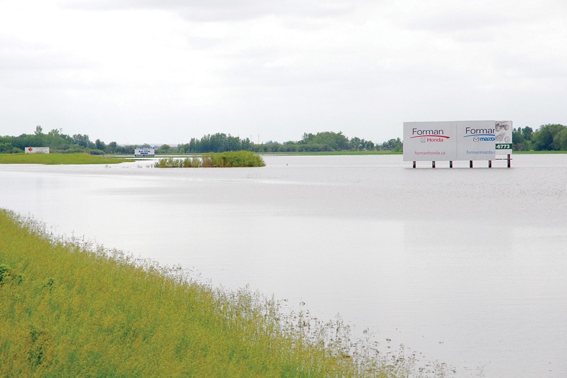
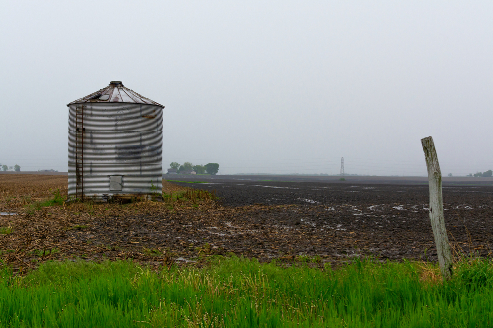
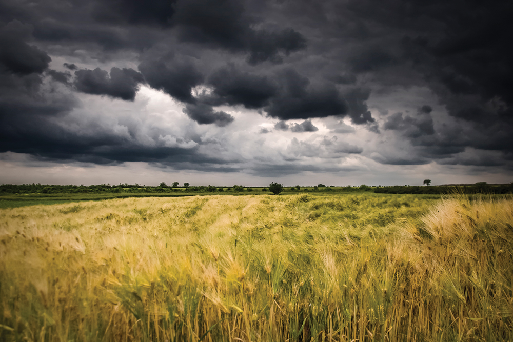
It just seems to be that type of year. Even when we are in a weather pattern that should keep us pretty much high and dry, wet weather seems to find its way in.
For the first half of this forecast period it looks like we may see a repeat of last weekend’s weather. A very slow-moving storm system is forecast to track across the central U. S. While the energy from this system should mainly stay well to our south, the models predict enough moisture will be forced northward that we should see showers develop across the region starting on Thursday. Western and northern regions will see the showers first; then, as the system weakens, then slowly pulls away, southern and eastern areas will see some rain.
Read Also

June brings drought relief to western Prairies
Farmers on the Canadian Prairies saw more rain in June than they did earlier in the 2025 growing season
This system could linger around until Saturday before high pressure builds in, bringing clearing skies. With the sunshine and little to no snow cover, we should see temperatures on the mild side to start next week, but – there is always a “but” – this is where the forecast gets tricky.
The models have been flip-flopping over what will happen next week. First they show a strong area of low pressure over eastern North America, pumping cold air down over our region. Then the models predict that this low will not be that strong and we will see a ridge of high pressure develop, giving us sunshine and mild temperatures.
So be prepared for some summerlike weather, but don’t be disappointed if it takes until the following week to move in.
Usual temperature range for this period: Highs: +5 to +18C. Lows: -4 to +5C.


