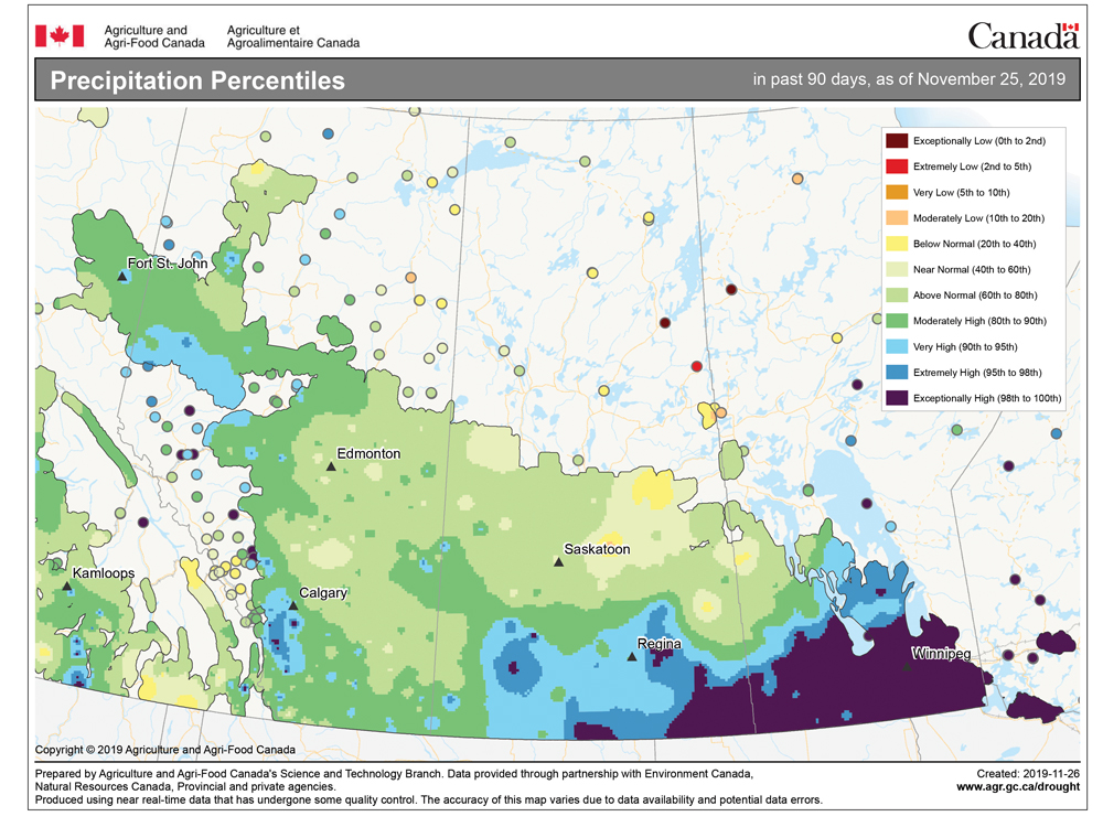
Once again, the weather models did a pretty good job with the medium-range forecast. They predicted last weekend’s storm system that kept most of the precipitation south of our region.
For this forecast period, it looks like the overall weather pattern across central North America will quiet down a little bit, with no big storm systems forecast to track anywhere near our region. Once last weekend’s storm system slides off to the south and east, we will see a ridge of high pressure build across the western U.S. We will be on the northern edge of this high, meaning we’ll likely see sunny to partly cloudy skies to start the week and daytime highs in the -5 C range with overnight lows around -12 C.
Read Also

Thunderstorms and straight-line winds
Straight-line winds in thunderstorms can cause as much damage as a tornado and are next on our weather school list exploring how and why severe summer weather forms.
The southern ridge of high pressure will slide off to the east during the second half of the week, which will open the door for an area of arctic high pressure to drop southeastward. The centre of this high is forecast to slide by just to our southwest on Friday and Saturday, bringing clear skies and cooler temperatures. Daytime highs are forecast to be in the -10 C range with overnight lows dropping to around -20 C.
As this high drifts off to our southeast later in the weekend we will see our winds switch to the south to southwest. This will help to bring milder air into our region, with daytime highs expected to moderate back to the -5 C range by Monday.
Looking further ahead, the weather models show an area of low pressure moving in off the Pacific and pushing through southern B.C. late in the week and into the weekend. Current indications are that this low will weaken as it continues to move eastward, bringing with it some cloudy skies and maybe the odd flurry as it pushes through our region early next week. Temperatures look to remain on the mild side with a slight cool-down once this weak system passes us by.
Usual temperature range for this period: Highs, -16 to -1 C; lows, -26 to -10 C.


