TABLE 1. What fell April 29-30 (totals in millimetres)
Ethelbert
Roblin
Swan Valley
Dauphin
Swan River
Wasagaming
Eriksdale
Ste. Rose
Grandview
Moosehorn
Steinbach
Teulon
Dugald
Selkirk
Elm Creek
Starbuck
66.0
60.3
53.0
0.4
44.8
44.4
43.6
43.2
41.8
36.8
34.6
33.8
33.6
33.2
32.0
Read Also
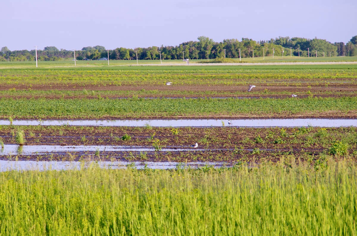
VIDEO: What climate change data gets wrong about the Prairies
Precipitation, not temperature, may be a better gauge of climate change impact on the Prairies, says director of the Prairie Adaptation Research Collaborative.
30.2
The Weather Vane is prepared by Daniel Bezte, a teacher by profession with a B. A. (Hon.) in geography, specializing in climatology, from the University of Winnipeg. Daniel has taught university-level classes in climate and weather and currently operates a computerized weather station at his home near Birds Hill Park, on 10 acres he plans to develop into a vegetable and fruit hobby farm.
Contact him with your questions and comments at [email protected].
Well, March didn’t go out like a lion as everyone expected this year, but April sure did! As I forecast last week, we finally took one on the proverbial weather chin and our string of successfully dodging storms came to an end. A very large area of low pressure moved into our region on April 29 and it brought plenty of clouds, winds and of course rain. When all was said and done, amounts came in pretty close to what I had predicted, with most areas seeing between 20 and 40 mm of rain. West-central regions saw the heaviest amounts with some areas along Duck and Riding Mountain receiving over 100 mm. Table 1 shows some of the totals from Environment Canada for the last two days of April.
The other big story for April was the extremely mild temperatures. While statistically we were not as much above average as we were in March, we were still pretty darned warm. The Winnipeg region was the mildest, with the average temperature for the month coming in at 8.3 C, which was 4.3 C above average. Dauphin was next warmest compared to their average with a mean monthly temperature of 7.2 C, which is 4.1 C above average. Finally, the Brandon region was the relatively cool spot, with an average temperature of 7.7 C or only 3.7 C above average. In fact, when I looked at the March and April numbers combined it looks like most regions broke records for the average temperature. Winnipeg came in at 3.9 C which broke the previous record of 2.8 C set in 1946. Brandon broke the record of 2.5 C set in 1977 with a reading of 3.2 C, and Dauphin shattered its old record of 1.2 C set in 1999 with a reading of 3.1 C.
Precipitation during April was tracking way below average until the last couple of days. When this storm is built into the totals, both Winnipeg (30 mm) and Brandon (29 mm) came within about a millimetre of average. Dauphin really got dumped on from the storm and if the numbers are correct from Environment Canada they received 131 mm of rain during the month, which puts them about 100 mm above average and sets a new record for the month of April.
So, while we came within two days of having a very dry and warm month, by the end we came in with a warm month with near-average precipitation amounts – at least for most regions.
WHO CALLED IT?
Now, to whom do we give the nod for April’s predictions? Well, it looks like it was us here at the Co-operator with a prediction of above-average temperatures and near-average precipitation. We should also give Environment Canada honourable mention, as it was only a few days away from its forecast of warm and dry.
The next question is whether May will continue cool and wet as it has started – or will we quickly pay back Mother Nature for all the nice weather and move back to sunny, warm conditions?
According to Environment Canada, it will be the first option, as it calls for below-average temperatures and above-average precipitation. The Old Farmer’s Almanac is still on its cold, wet weather kick. In fact, it calls for May to be very wet, nearly double the average. The folks over at the Canadian Farmers’ Almanac appear to call for near-average temperatures as they mention “fair” several times. It also seems they’re calling for above-average precipitation amounts.
Finally, here at the Co-operator, I’m calling for near-average temperatures and near-to above-average precipitation amounts for May. We are obviously starting off on the cool side and it looks like the first half of the month will be cooler than average. I then feel the second half of the month will warm up and we will enter another prolonged period of warm weather. May has already started off wet and it looks like another system will dump more rain during the middle of this week, so already a number of places will be at least halfway to their monthly average. But like the temperatures, I think the second half of the month will be dry, so overall we should end up being right around average – but I’ve been wrong before!


