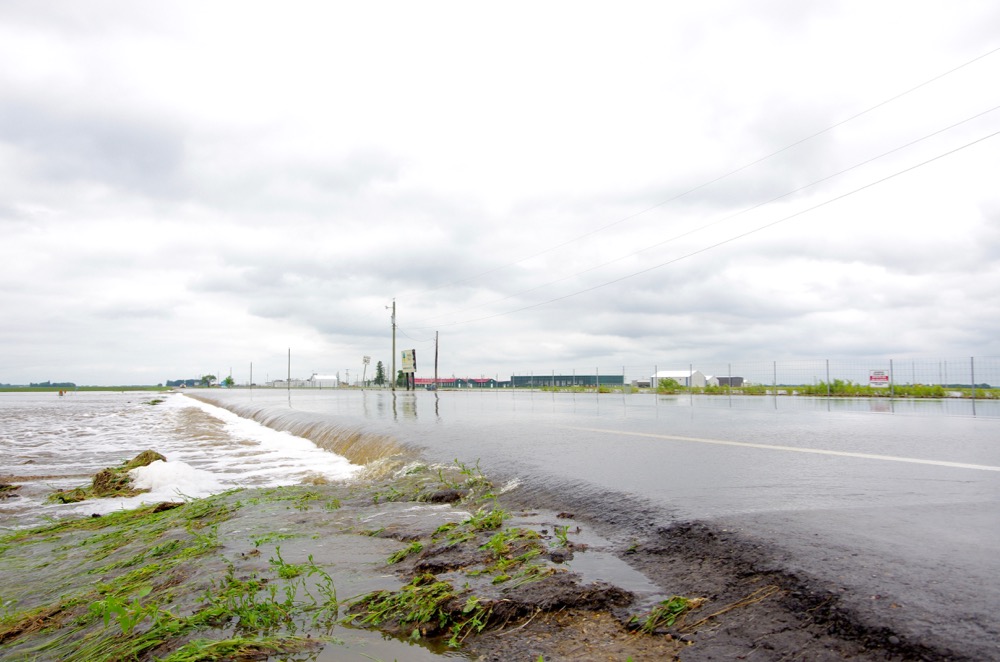
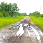
wf1_brandonjpg-2
Roads south of Brandon on June 29, 2020 show the evidence of being overtopped by floodwaters the previous day.
Photo: Alexis Stockford
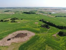
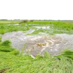
Ponding on pasture
While not as impacted as roads north of Brandon, roads in the R.M. of Cornwallis near the Brandon Hills also saw overflowing roads and flooded fields June 28-29.
Photo: Alexis Stockford
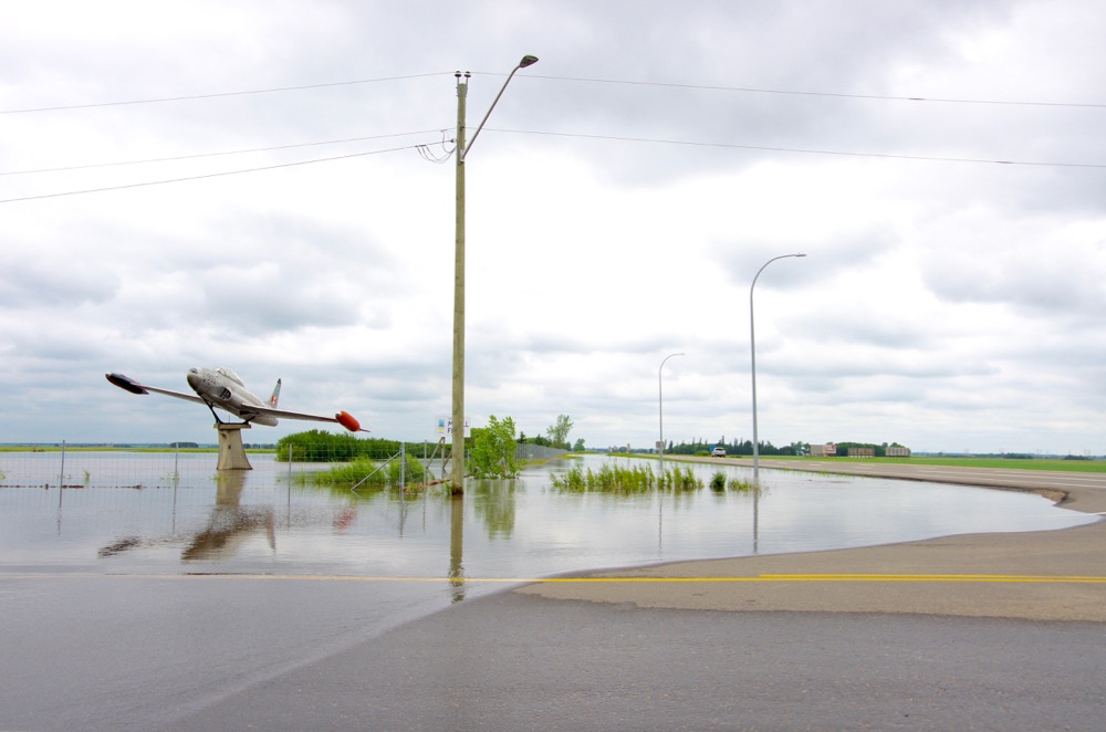
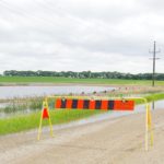
Airport inaccessible
Floodwaters claim the main road access to the Brandon Municipal Airport June 29.
Photo: Alexis Stockford
Airport inaccessible
Floodwaters claim the main road access to the Brandon Municipal Airport June 29.
Photo: Alexis Stockford
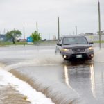
Overland flooding
Floodwaters creep towards Highway 10 north of Brandon after already flooding areas in and around the Brandon Municipal Airport.
Photo: Alexis Stockford
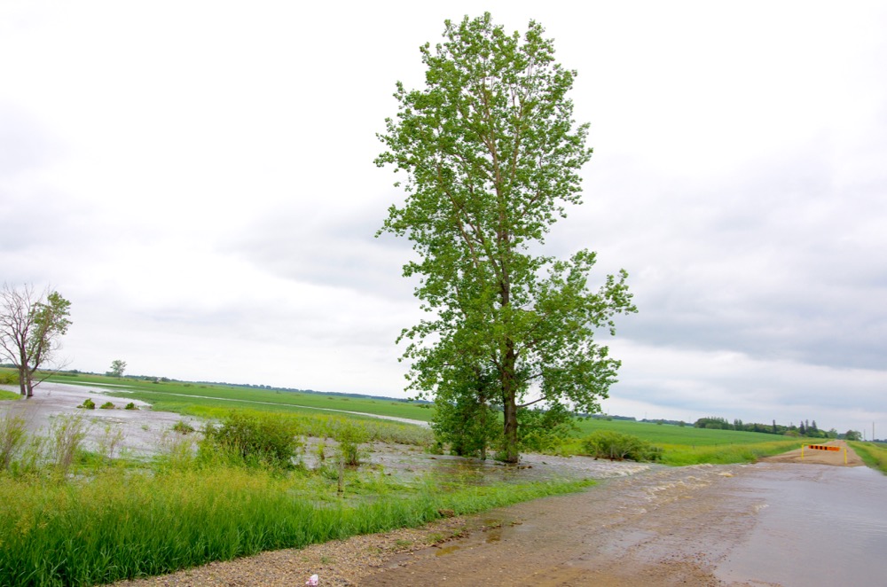
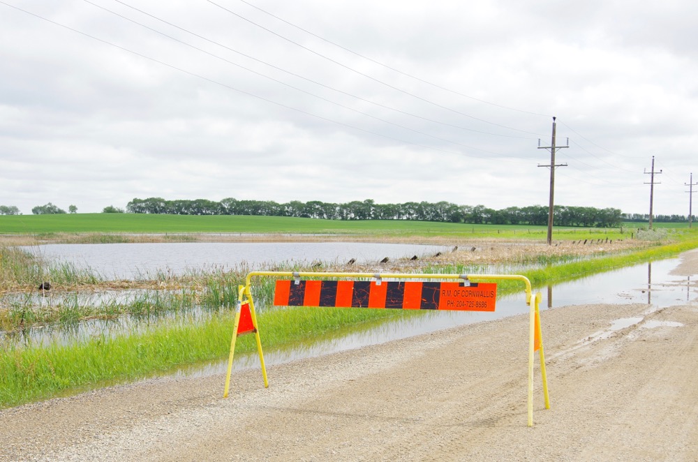
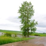
Road overtaken
Floodwaters overtake a rural road in the R.M. of Elton June 29, following over 150 millimetres of rain in the region.
Photo: Alexis Stockford
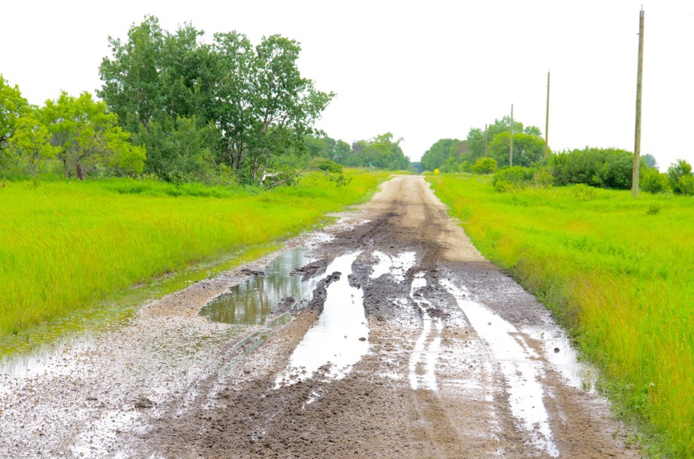
In a rut
Residents of the R.M. of Elton fought with poor road conditions June 29 following torrential rains.
Photo: Alexis Stockford
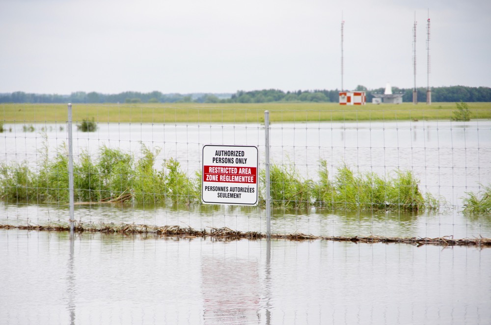
Restricted waters
Floodwaters claim the main road access to the Brandon Municipal Airport June 29.
Photo: Alexis Stockford
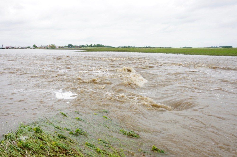
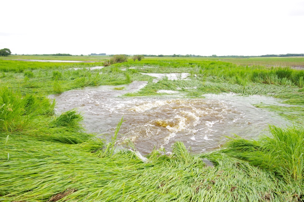
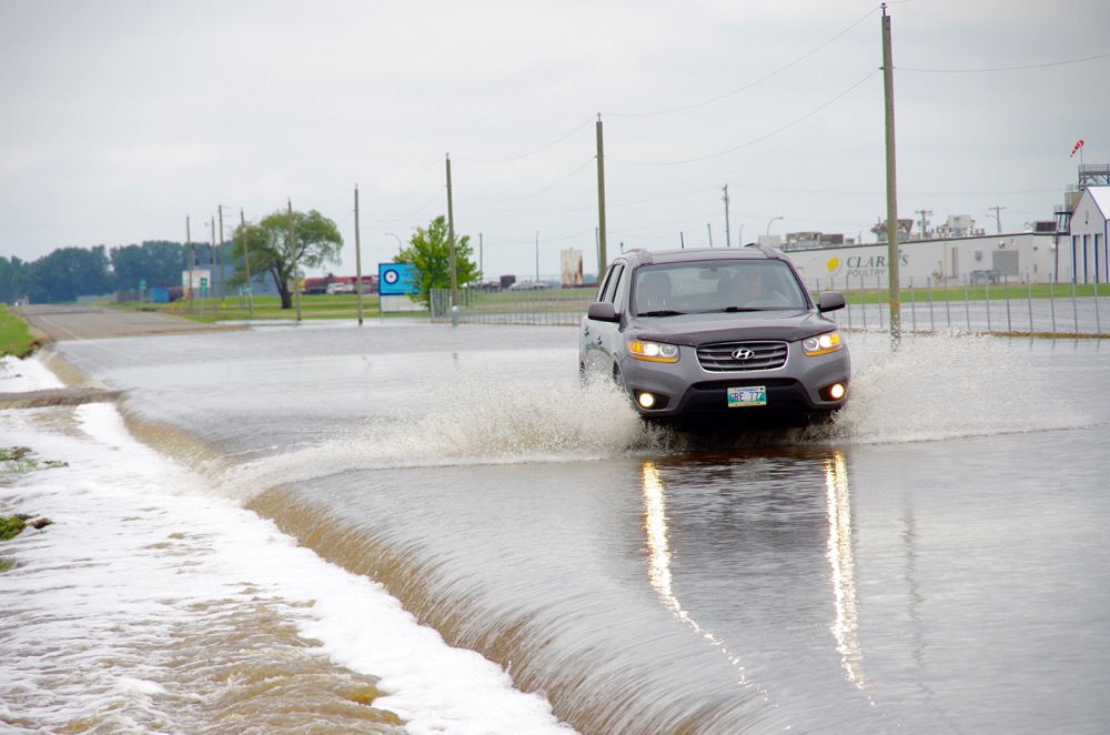
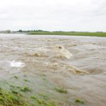
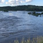
Churning
Rapids replace what was once an approach just north of Brandon June 29 following intense thunderstorms dropping torrential rains.
Photo: Alexis Stockford
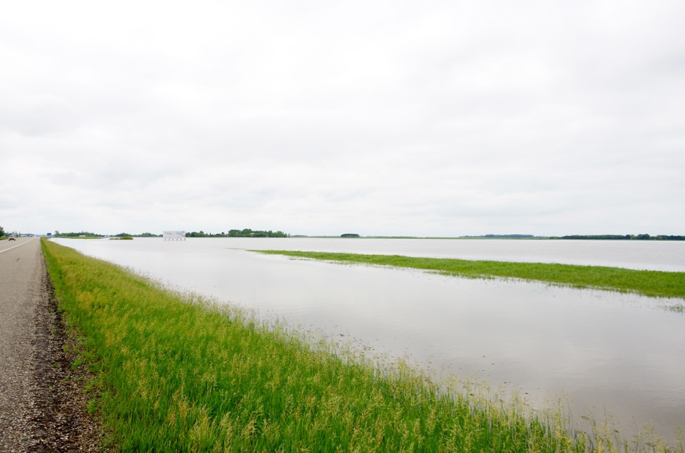
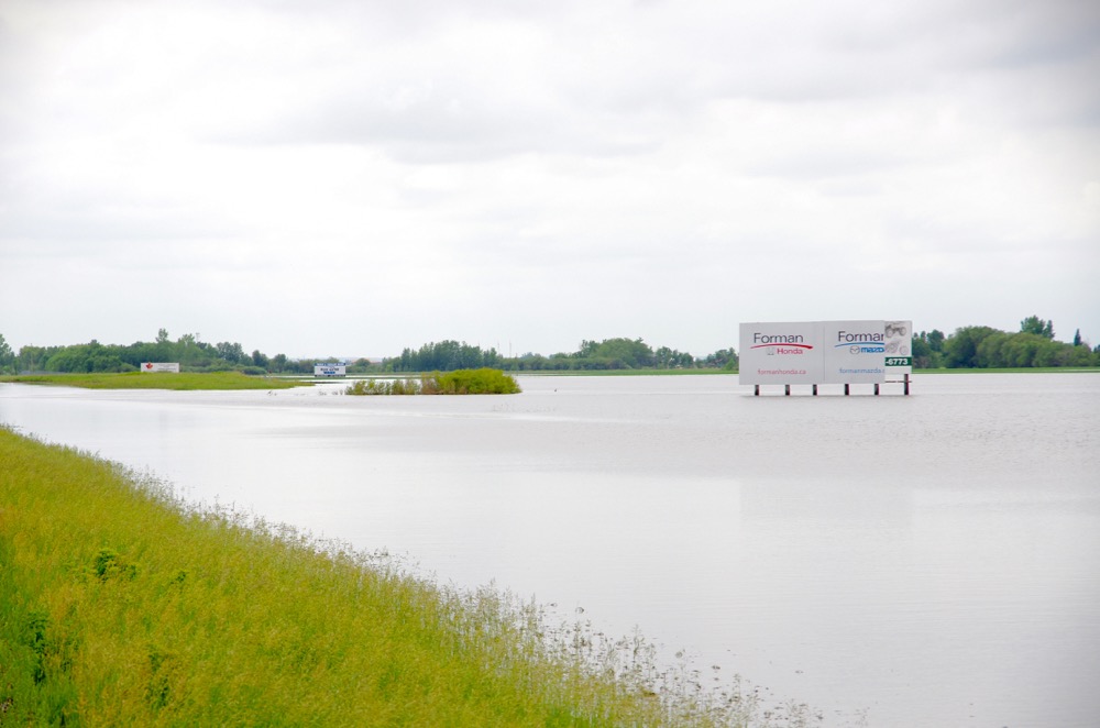
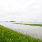
To the horizon
A temporary lake overtakes the landscape north of Brandon June 29 following torrential rain and widespread overland flooding.
Photo: Alexis Stockford
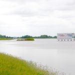
Ad aqua
A temporary lake overtakes the landscape north of Brandon June 29 following torrential rain and widespread overland flooding.
Photo: Alexis Stockford
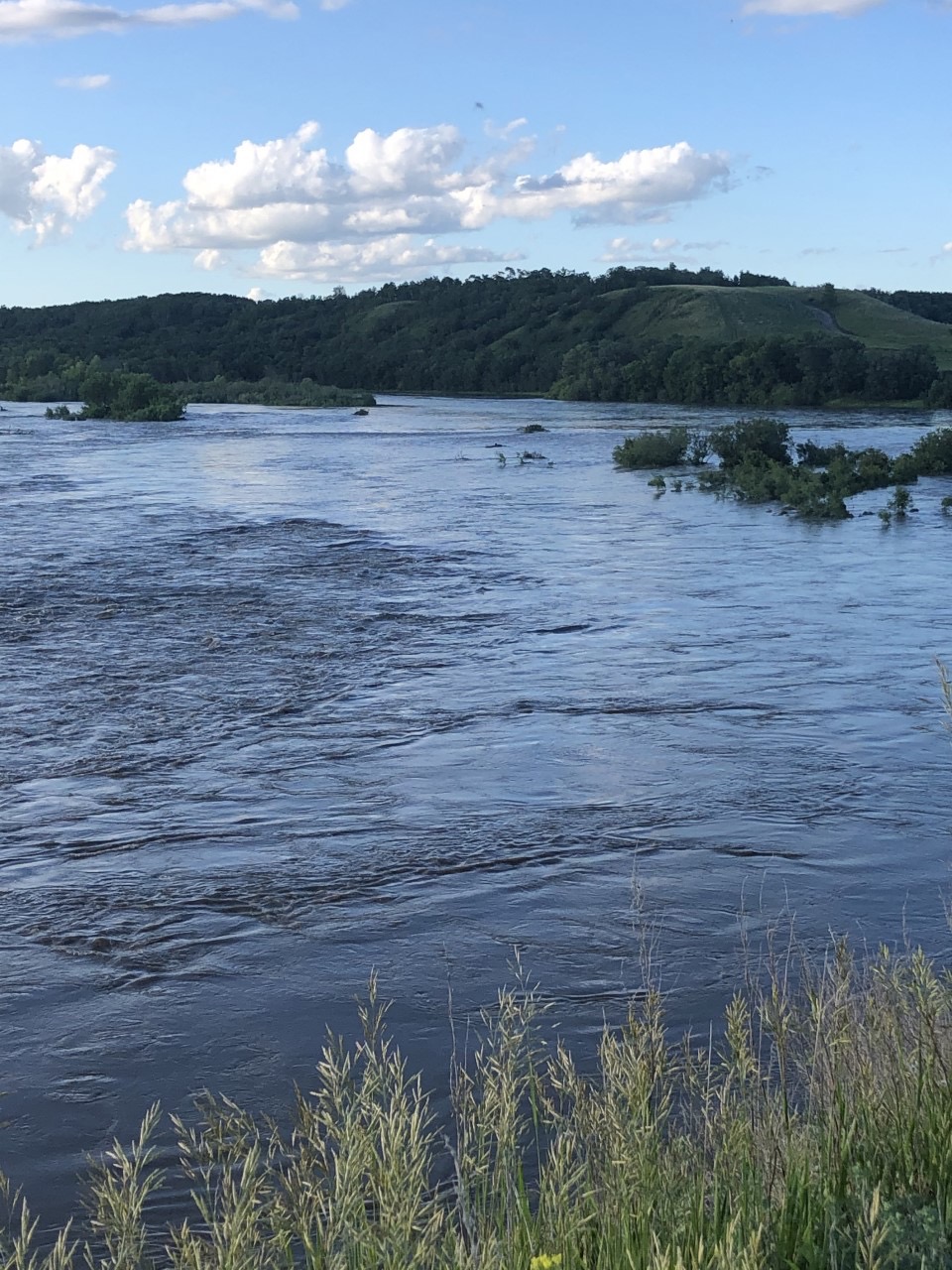
Powering over pasture
Water flows across what, a few days ago, was Dan Lepp’s pasture along the Little Saskatchewan River.
Photo: Dan Lepp
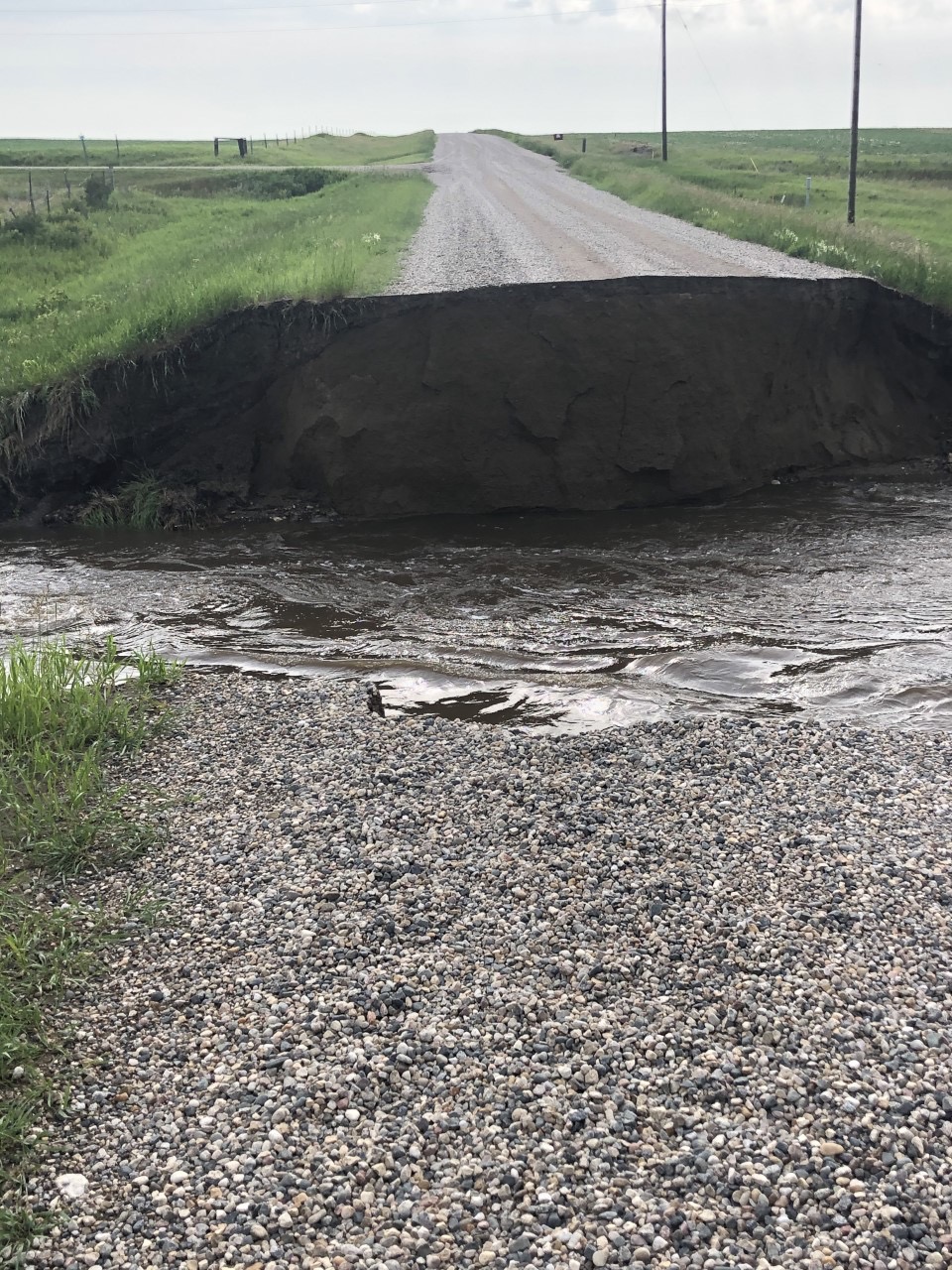
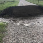
Washed out
Impassible roads have created significant navigation challenges after significant rainfall led to widespread washouts June 28 to July 1.
Photo: Dan Lepp
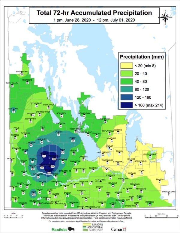
Accumulations
The 72-hour precipitation map for Manitoba from June 28 into July 1.
Photo: Map courtesy Dr. Timi Ojo, Manitoba Agriculture


Based on the 30-year average, Manitoba Agriculture pegs the “climate normal” accumulated precipitation for what are typically the wettest months of the year — May, June and July — at 205 millimetres for the areas around Brandon, Rivers and Minnedosa. In the stretch of 2020 from June 28 into Canada Day, those areas received three months’ worth of rain in three days. The Co-operator’s WestMan reporter, Alexis Stockford, takes us on a trip through the area. (All photos by Alexis Stockford except where noted.)