The forecast for the start of this week was initially showing a large western low staying to our south. This didn’t pan out as the models indicated. Instead, the western low tracked right through southern Manitoba, bringing clouds, showers and cooler temperatures.
By the middle of this week high pressure should be back in charge, bringing with it plenty of sunshine and warm temperatures. Thursday looks like it will be the warmest day, with high temperatures expected to be at or even slightly above the high end of the usual temperature range for this time of the year.
Read Also
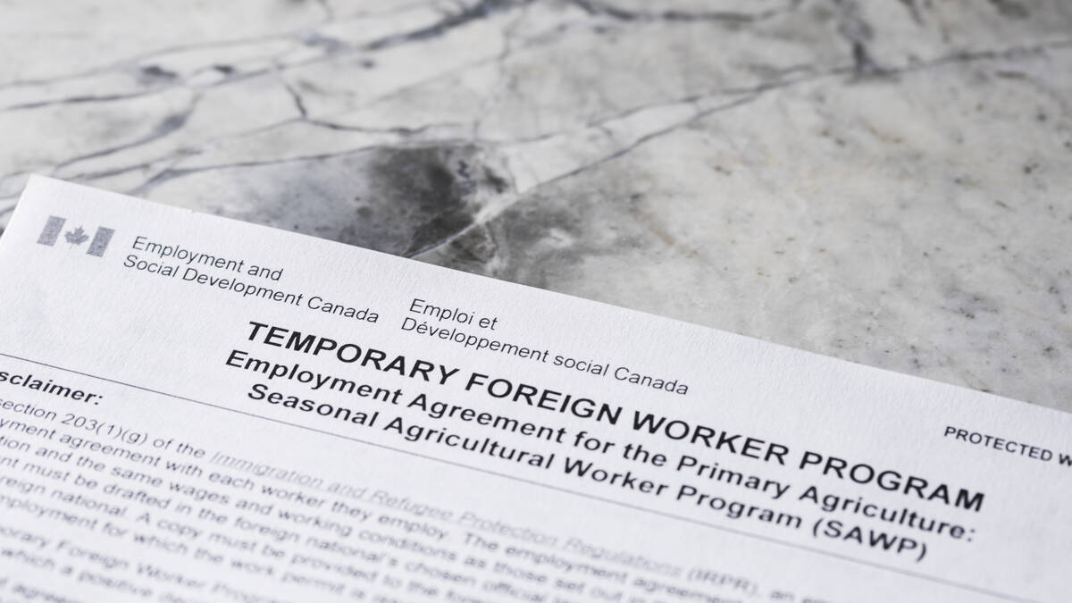
Meat sector shrugs at raised cap for rural temporary foreign workers
Federal moves to relax restrictions is unlikely to change much for agriculture or meat processing, where the real ask is permanent residency pathways.
It currently looks like sometime between late Thursday and late Friday, a cold front will push through as an area of low pressure passes by well to our north. This should bring a short period of clouds and showers before it quickly pushes off to the east. Clear skies should return for the weekend as high pressure rebuilds across the region. Temperatures will start off a little cooler behind the cold front on Saturday, with highs expected to be in the mid- to upper teens, but it looks like it will quickly warm back into the low 20s by Sunday or Monday.
The models are having a little trouble coming into agreement on next week’s forecast. The latest model run shows a strong area of low pressure developing to our west and then slowly drifting to the northeast. This should place us in a predominantly southwesterly flow. This should help keep temperatures in the low 20s for highs and it should also help to increase humidity levels. While the humidity will bring increasing clouds and chances of showers as the week progresses, it will also help to keep overnight lows on the mild side.
Usual temperature range for this period: Highs, 12 to 24 C; lows, -1 to +9 C.