Forecast issued December 3, covering Dec. 3 to 10, 2025
Highlights
- Manitoba and Saskatchewan can expect cold temperatures to settle in.
- Alberta will benefit from some moderating influences, with colder temperatures not expected to last long.
Overview
It appears that winter — or at least winter temperatures — has settled in across the Prairies as a well-established northwesterly flow takes hold.
This pattern is drawing consistent shots of colder air southward, and for many regions it marks the first sustained stretch of wintry conditions this season. The one area that may escape the harshest cold is Alberta, which finds itself far enough west to benefit from occasional moderation. More on that in the regional breakdown.
Read Also
Prairie forecast: A north-south temperature split as spring struggles to move in
For Alberta, a cold front on Sunday and Monday could bring light snow, with a chance of more snow in the south. Saskatchewan and Manitoba can expect a mix of sun and cloud over the weekend with daytime highs ranging from -5°C to 0°C and light winds.
Currently a large, slow-moving low-pressure system dominates the Gulf of Alaska. A second, broad low sits over Hudson Bay and northern Quebec. The counterclockwise circulation around the Gulf of Alaska low is trying to pull milder Pacific air northward, but the competing flow around the Hudson Bay low is pushing significantly colder Arctic air south.
The Hudson Bay system is expected to linger through much of the forecast period. It will gradually weaken as it drifts eastward but will still act as a main source of cold air.
As the Gulf of Alaska low breaks down, pieces of upper-level energy will peel off and move into the Yukon. Once there, they will be swept along in the strong northwesterly flow and each wave will race southeastward across the Prairies.
Each disturbance will bring a familiar sequence: increasing cloud cover, the chance of flurries or light snow, a short-lived warmup ahead of the wave, and then another push of colder air behind it. None of the systems appear particularly strong on their own, but their frequency will play a large role in shaping day-to-day weather.
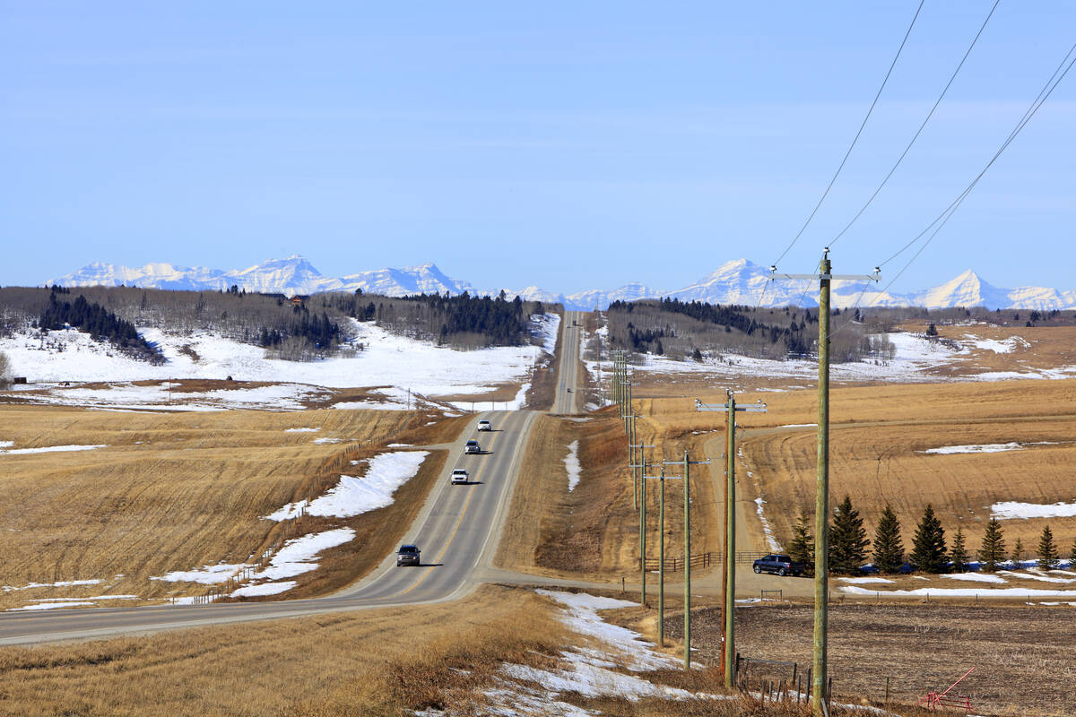
Alberta
This forecast period begins with an area of Arctic high pressure sliding southeastward through Saskatchewan. Its track should spare most of Alberta from the coldest air on Wednesday and Thursday. Late Wednesday, a compact low is expected to dive southeast through northern Alberta. This will spread cloud cover and flurries across central parts of the province, with light snow more likely in northern regions.
Temperatures will be comparatively mild, with highs of a few degrees above freezing in the south and around –3 C in the Peace River region.
A second, weaker low will follow a similar path on Friday. This should produce more clouds and another round of flurries or brief periods of light snow across central and northern Alberta. Behind it, colder high pressure will push southward, extending cloud and scattered flurries into southern areas as well. Accumulations of snow should remain light, but a quick couple of centimetres is possible.
More from Daniel Bezte: Snowfalls heavier than 30 cm are rare
Temperatures will drop Friday, with southern highs near –5 C and central and northern highs falling into the –10 to –15 C range.
Skies should clear on Saturday as the coldest air settles in, though the chill does not appear likely to last long. A third system will move inland from the Pacific on Monday or Sunday, this time tracking farther south. It will bring another round of cloud cover and scattered flurries, but also a return to milder temperatures.
By Monday, daytime highs are expected to climb above freezing in the south and to around –5 C in central regions. Snow amounts again look limited, though the track of the system should be monitored.
Saskatchewan and Manitoba
A clear and cold start is expected on Wednesday as strong Arctic high pressure continues its slide southeastward. Daytime highs will sit between –15 and –18 C, and overnight lows will be even colder. Wind chills will be a factor. The high will move off quickly, allowing moderating temperatures to arrive ahead of the next disturbance.
On Thursday, a fast-moving low will sweep out of the Yukon and across the central Prairies. Temperatures should rise slightly, with highs around –8 C on both Thursday and Friday. The system will bring cloud cover and flurries or light snow, though amounts appear modest. A second, weaker disturbance looks to follow on Friday, reinforcing cloud and scattered light snow.
Over the weekend, another strong push of Arctic air will drop south, bringing a return to below-average temperatures. Highs are expected to fall back into the –15 to –18 C range, with overnight lows dipping toward –24 C under clearing skies. Wind chills will once again be an issue.
Early next week, weather models suggest that another Pacific system may help generate a low over southern Alberta. The guidance is inconsistent regarding the track, strength, and potential snowfall, so confidence is low. Some moderation in temperatures ahead of the system appears likely, but details remain uncertain. This developing feature will need to be watched closely as model agreement improves.