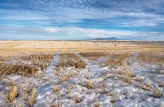
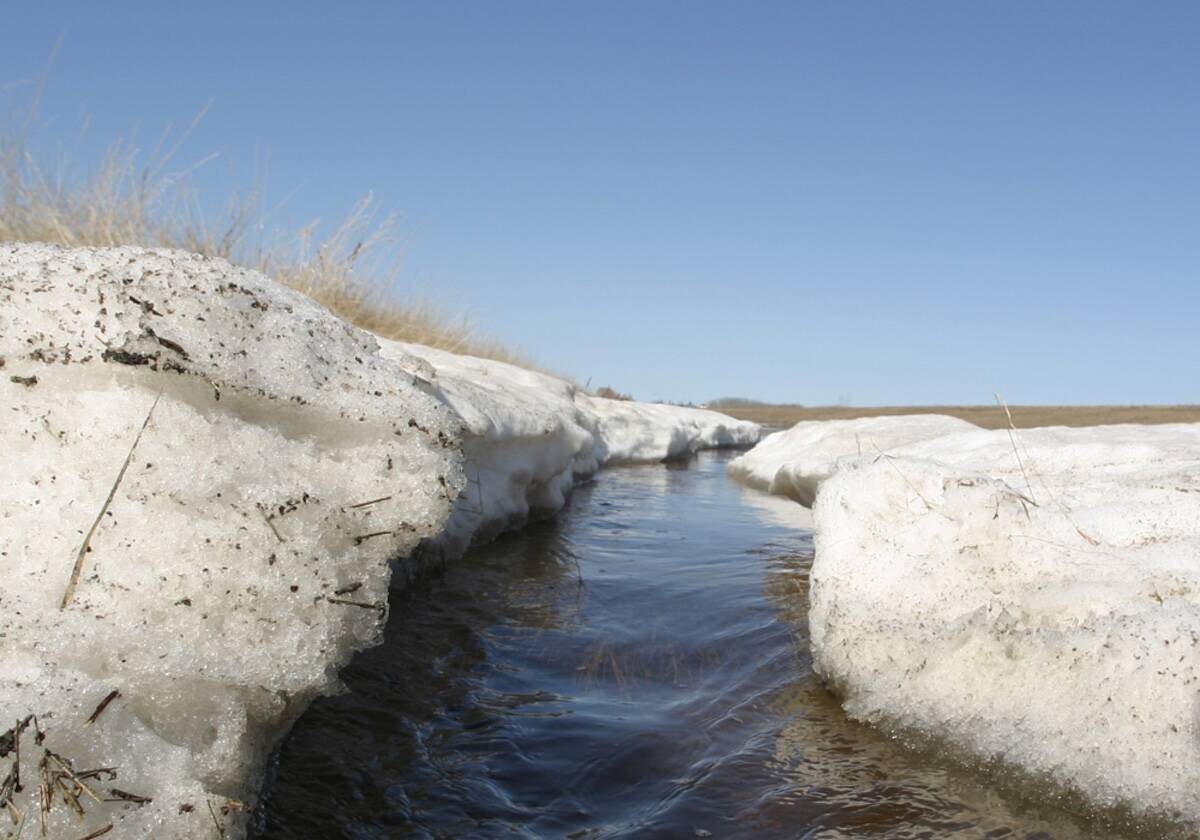
A large area of low pressure stalled out just south of the Prairies early this week, bringing some much-needed significant rains that stretched from western Manitoba through Saskatchewan and into Alberta. This low is forecasted to rapidly break down over the next day or so and make way for some nice late-spring weather.
Once the low has weakened and moved off, the general flow across the Prairies is forecasted to become westerly to northwesterly, with several areas of weak low pressure expected to develop and track through this flow. Most of these lows will stay north of the agricultural regions, but trailing fronts associated with the lows will bring occasional cloudiness and the odd chance of showers. Between these systems, we should see plenty of sunshine and warm temperatures with seasonable to slightly above seasonable highs and lows expected for most of this forecast period.
Read Also
Prairie forecast: Arctic air keeps spring warming at bay
This week’s forecast: Arctic high pressure is expected to drop southward into the Prairies later this week and into the weekend, keeping temperatures below average.
With this type of pattern there is a fair bit of certainty in the big picture forecast, but the timing of systems can be difficult as early small changes grow larger later in the forecast. With that said, here is what the forecast is looking like for our three great Prairie provinces.
Alberta
Alberta looks like it will see rain move from north to south early on Wednesday with clearing skies expected by Thursday. A weak upper ridge of high pressure is forecasted to build late in the week and into the weekend. This ridge should bring plenty of sunshine and warm temperatures with daytime highs forecasted to be in the low to mid-twenties over all three regions with overnight lows falling into the 5 to 10 C range.
On Monday, and area of low pressure is forecasted to develop over central B.C. and begin to track eastwards. This will bring a mix of sun and clouds to most regions along with a good chance of showers and possibly thundershowers, depending on the timing of the system. This low will break down the upper ridge and the counterclockwise flow behind the low will bring cooler air into the province on Tuesday and Wednesday.
Expect daytime highs to drop down into the mid to upper teens with overnight lows falling into the 5 to 8 C range. Along with the cooler temperatures expect unstable conditions with cloudy to partly cloudy skies with chances of showers.
Saskatchewan and Manitoba
Both regions should see skies clear out by the end of Wednesday as the southern low weakens. Clearing will begin in the north and move southward. Due to the low weakening and breaking down, we do not expect to see any significant cold air working south into the low. Sunny skies and mild temperatures are expected on Thursday and Friday as a weak ridge of high pressure builds over the western and central Prairies. Expect daytime highs to be in the low twenties on Thursday and Friday with the warmest temperatures expected to be in Saskatchewan due to their closer proximity to the upper ridge.
The weather models are showing an area of low pressure tracking through northern Manitoba on Friday. This low will drag a weak front through Manitoba, which could bring some clouds to southern and central regions late Friday and into early Saturday. Along with clouds, the odd shower cannot be ruled out. The front will also bring slightly cooler temperatures with daytime highs expected to be in the upper teens.
Sunday looks to be the best day over the weekend as high pressure brings plenty of sunshine and warm temperatures. Expect daytime highs in the low to possibly mid-twenties. A second low is then forecasted to develop over B.C. and track quickly across the southern and central Prairies on Monday. This will bring partly to mostly cloudy skies along with the chance of some showers.
Temperatures will be a little cooler thanks to the clouds with daytime highs forecasted to be in the mid to upper teens. This low is forecasted to move east by Tuesday. Looking further ahead, the weather models are showing summer-like temperatures towards the May long weekend. Keep your fingers crossed. As usual, that is a long way off and plenty can and will change between now and then.
— Daniel Bezte is a teacher by profession with a B.A. (Hon.) in geography, specializing in climatology from the University of Winnipeg. He operates a computerized weather station near Birds Hill Park, Man. Contact him via email with your questions and comments.