Forecast issued November 26, covering Nov. 26 to Dec. 3, 2025
Highlights
- The Prairies will see cold and largely dry conditions, with only far western Alberta expected to see any noteworthy snowfall.
- Alberta will see cold air spill in over the weekend with daytime highs expected to drop to around the –10°C mark.
- Daytime highs in Saskatchewan and Manitoba will drop from around –3°C on Wednesday to roughly –10°C by Friday and remain cold throughout the next week.
Overview
Read Also
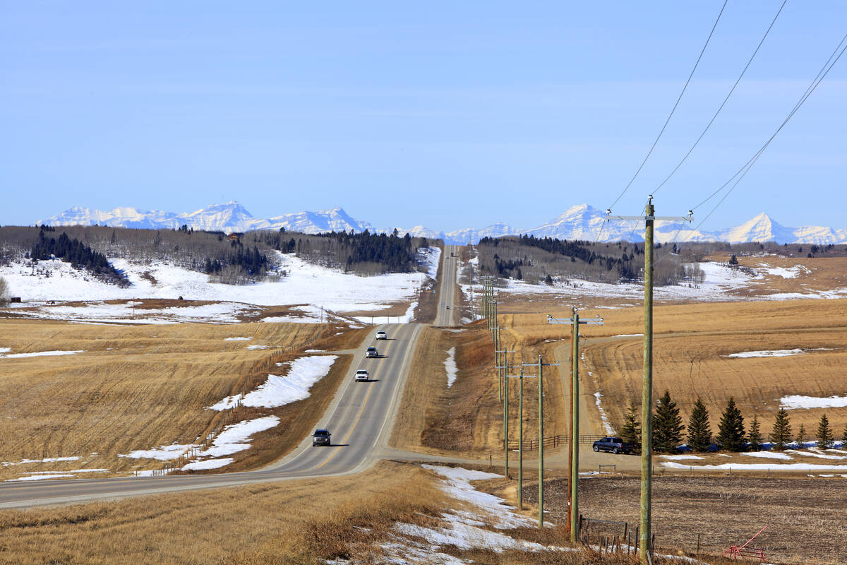
Prairie forecast: A north-south temperature split as spring struggles to move in
For Alberta, a cold front on Sunday and Monday could bring light snow, with a chance of more snow in the south. Saskatchewan and Manitoba can expect a mix of sun and cloud over the weekend with daytime highs ranging from -5°C to 0°C and light winds.
Well, after several weeks of mild weather across the Prairies, it looks like true winter conditions are finally set to arrive.
A large trough of low pressure is digging across eastern North America. This will help open the door for cold Arctic air to flood southward.
Our previous forecast played out close to what the weather models were suggesting, though there were a few small but noteworthy deviations. First, the Pacific energy that was expected to move into central Alberta early this week did exactly that — but instead of tracking across the central Prairies, it dropped southeastward and moved through the northern United States. The low was also slightly stronger than anticipated. The Calgary region and areas to the north and east experienced that firsthand.
Related: Is a weather station right for your farm?
The second deviation was the warmer-than-expected air mass that pushed into Manitoba and parts of Saskatchewan over the weekend. Several locations broke record highs on Sunday.
For this forecast period, the low that impacted southern Alberta earlier in the week is now moving into northern Ontario. This is helping to carve out a broad trough of low pressure across the eastern half of the continent.
To the west, another low is expected to come ashore over southern B.C. and to track southeastward through the north-central United States. It will then be absorbed into—and help to amplify—the eastern trough by the weekend.
This setup will establish a generally northerly to northwesterly flow across the Prairies, allowing cold Arctic high pressure to drop south and east beginning this weekend. This cold air mass looks set to remain entrenched through the weekend and throughout next week. As a result, most of the Prairies will see cold and largely dry conditions, with only far western Alberta expected to see any noteworthy snowfall during this period.
Alberta
Most areas will begin this forecast period with sunny to partly cloudy skies as weak high pressure builds from the north. Temperatures will run slightly below average, with daytime highs across southern Alberta forecast to be around –3°C, while central and northern regions see highs near –7°C.
On Friday, a low pressure system over southern B.C. will track to the south of the province. Depending on its exact path, southern Alberta could receive a quick 5 cm of snow by the end of the day.
Once the low moves through, colder air will spill in as Arctic high pressure settles into the region. Expect daytime highs to fall to around –10°C, with overnight lows near –15°C—colder in areas with existing snow cover.
Early next week, milder Pacific air will try to push eastward. The models are struggling to determine how far it will penetrate as it encounters the entrenched Arctic air mass.
Areas that get into the Pacific air will see temperatures moderate back toward the freezing mark. This milder push will be accompanied by several weak low pressure disturbances, which are expected to slide south along the boundary between the opposing air masses. These systems could produce periods of light snow, with most of the precipitation confined to far western regions.
Saskatchewan and Manitoba
A fairly short and straightforward forecast is in place for these two provinces. As the eastern North American trough deepens, cold Arctic high pressure will begin pushing south. Most areas will enjoy one more relatively mild day on Wednesday before temperatures begin falling on Thursday and Friday.
Daytime highs will drop from around –3°C on Wednesday to roughly –10°C by Friday under sunny to partly cloudy skies.
The low pressure system coming inland from southern B.C. is expected to track toward the central United States on Friday and Saturday. Southern Saskatchewan and extreme southern Manitoba may see some cloud and possibly light snow from this system.
Over the last week or so, systems have tended to track farther south than initially forecast. However, should this one shift northward, southern regions of both provinces could see around 5 cm of snow.
After this low passes, cold Arctic high pressure will dominate from Sunday straight through the end of next week. Daytime highs will generally range from –8°C to –12°C, with overnight lows falling to around –18°C, and colder where snow cover is present.