We are well into the second half of summer and from a climatological perspective, temperatures are statistically starting their decline as we move toward autumn.
That doesn’t mean August will be colder than July. We have seen hot Augusts in the past.
After a cool June across the Prairies, July turned things around. All major reporting stations recorded above-average temperatures. The warmest location was Winnipeg, with a mean monthly temperature of 20.9 C, which is about 1.2 C above average. The warmest location compared to average was Calgary, which had a mean monthly temperature of 20.5 C, or a whopping 4 C above average.
Read Also

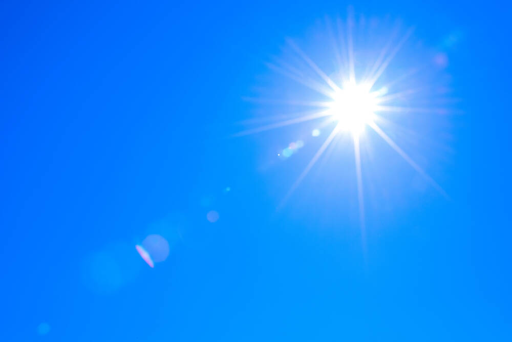
Why is the sky blue?
The colour of the skies, on the Prairies and elsewhere, tells the story of the paths sunlight takes as it enters Earth’s atmosphere, Daniel Bezte writes.
The weather map shows it was a dry month for a large portion of the Prairies, with only northern Alberta and central and eastern Manitoba seeing significant amounts. Let’s take a closer look at the weather numbers across all three provinces.
In Alberta, where Calgary was hot, Edmonton’s mean monthly temperature depends on the station. The long-term recording station at the airport shows its mean monthly temperature was 18.8 C. The Blatchford station lists it at 22 C.
I stick with the airport readings, so Edmonton’s 18.8 C was 2.6 C warmer than average. Unfortunately, the Peace River station was missing several days’ worth of data, so monthly means would not be accurate. Precipitation in July was light, with the Calgary and Edmonton regions both reporting 30 to 40 mm.
In Saskatchewan, there were similar mean monthly temperatures. Regina came in at 20.4 C and Saskatoon reported 19.9 C, both of which were about 1.5 C above average.Regina holds the distinction of having the hottest temperature of the reporting stations, with a reading of 35.9 C. Regina also recorded the largest number of days above 30 C with 11. This compares to nine days in Saskatoon, Calgary and Edmonton. Precipitation was low to extremely low, with Saskatoon reporting 26.9 mm and Regina a paltry 2.9 mm.
Manitoba recorded only three days above 30 C but had the two warmest mean monthly temperatures — Winnipeg’s 20.9 C and Dauphin’s 20.8 C. Brandon was not too far behind, with a reading of 19.9 C.
These temperatures ranged from 1.2 C above average for Winnipeg to 2.1 C above average for Dauphin. The reason for high mean temperatures, even though there were not a lot of days over 30 C, was the high level of humidity, which resulted in plenty of warm nights. A lot of that humidity was due to rainfall in July.
Winnipeg was the wet spot with 114 mm of rain, which was more than 40 mm above average. Dauphin was the next wettest with 68.3 mm, right around average. Brandon was the dry spot with only 30.6 mm of rain, which was more than 40 mm below average.
Depending on which part of the Prairies you look at for July, it was either a hot month with below-average rainfall or hot with near- to above-average rainfall. Looking at different predictions for the month, I would have to say it’s tough to pick a winner. Several predictions called for a warmer-than-average month, with below-average precipitation.
One of them called for that pattern, but also for the Eastern Prairies to see near- to above-average precipitation — the NOAA, which is my pick as the winner.
Let’s look at August and September weather forecasts or predictions. The Old Farmers Almanac calls for slightly above-average temperatures in August and well-above-average temperatures in September. It shows both months with below-average precipitation.
The Canadian Farmers Almanac calls for a warm start to August, turning chilly during the second half with plenty of chances for showers and thunderstorms. Its September outlook leans toward a colder than average month and mentions chilly or cold four times. Precipitation looks to be near average.
The NOAA forecast, extrapolated northward, calls for above-average temperatures across southern Alberta and Saskatchewan with near-average temperatures elsewhere. Its precipitation outlook calls for near-average amounts.
The CFS calls for mostly above-average temperatures in August with maybe a one-week cool down. Its September outlook is for near- to slightly-above average temperatures. The precipitation outlook is for below-average amounts in August with near average in September, with the exception of southern Saskatchewan (below average) and Northern Alberta (above average).
The Canadian CanSIPS model calls for August to see above-average temperatures over the far western Prairies, with below-average temperatures in the east and near average in between. This then transitions into slightly-above-average temperatures over Alberta and Saskatchewan in September, with near-average temperatures across Manitoba. Both months are forecasted to have below-average precipitation.
Our last model is the ECMWF or European model, and it calls for above-average temperatures in August and September. Its precipitation outlook calls for near- to below-average amounts in both months.
Finally, my take on this. All the different forecasts or predictions are pulling me a bunch of different ways, but I lean toward agreeing with the CFS model.
As always, whatever weather we do see, I hope it is the type you need.