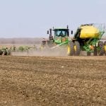
The weather models are continuing to do a good job with the short- to medium-range forecasts, but there have been a couple of small changes that have been slowly working into the forecast.
Weak troughing off the West Coast is still forecasted to kick off the development of a leeside low in Alberta. This low will bring a good chance of showers to north-central regions from Monday to Wednesday, with western regions seeing the best chance of significant rainfall. Originally it looked like this low would hang around Alberta all week as it slowly drifted north and then eastward. Now the weather models show a stronger area of low pressure forming over the western U.S. with this low stealing away the energy flow into the Alberta low, causing it to dissipate by Thursday. Temperatures over central and northern regions of Alberta will be cooler under this low, with daytime highs expected to be around the 20 C mark — and cooler if the showers or rain are more persistent. Southern regions will miss out on the rain and will be a little warmer with daytime highs around the 25 C mark.
Read Also
Prairie forecast: Cooler than average temperatures expected to continue
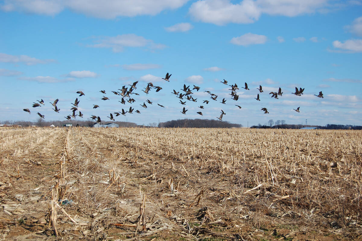
While temperatures will gradually trend upward as the Prairies move into spring, the overall cooler-than-average pattern remains firmly in place. Current indications suggest this will persist for at least the next 7 to 10 days.
This western U.S. low looks as if it will spin off bits of energy during the week. This energy will push northward and then eastward across southern Saskatchewan and Manitoba. The first of the systems is expected to bring a chance of showers and thundershowers on Tuesday with a second chance of showers coming later in the week. Temperatures look to start off nice, with daytime highs in the low 20s, and upper 20s moving in around mid-week as a warm as a southerly flow develops.
— Daniel Bezte is a teacher by profession with a B.A. (Hon.) in geography, specializing in climatology from the University of Winnipeg. He operates a computerized weather station near Birds Hill Park, Man. Contact him via email with your questions and comments.