If you have been listening to some of the weather news coming out over the last little while you may have heard that La Niña conditions have redeveloped across the Pacific Ocean, meaning we have moved back into a La Niña period. The latest outlook indicates there is an 87 per cent chance that this latest La Niña will last through most, if not all, of the winter. Before we look to see how this might impact the winter weather forecast, it is always good to take a step back and examine just what La Niña and El Niño are. I know I do this every year, but I still hear a lot of misinformation about this topic.
Read Also
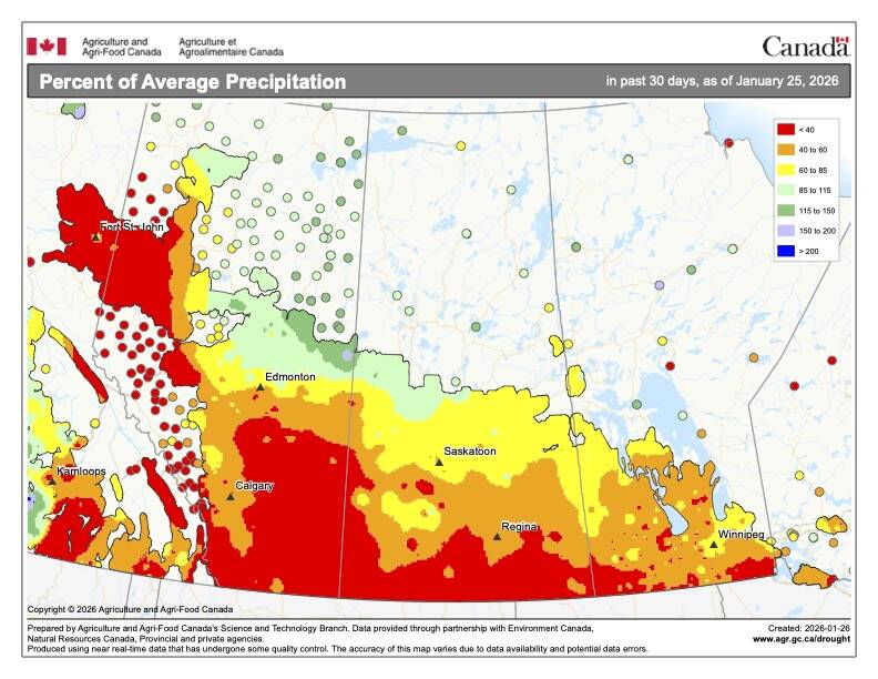
What’s the weather for last half of winter 2025-2026?
A last look at 2025 temperature and precipitation on the Prairies, plus what weather forecasters expect through to spring 2026.
Looking at the Pacific Ocean, it is kind of like a giant heat battery, storing the sun’s energy and then releasing it in the form of heat and moisture. In previous articles, we discussed how the atmosphere likes to try to even out areas that are warm with areas that are cold, and this results in a general pattern of winds around the world (easterly winds in the tropics, westerly in the middle latitudes, easterly winds in the Arctic).
If we are going to understand El Niño and the cold or opposite version known as La Niña, we need to keep these wind patterns in mind, and go back to the Pacific Ocean to examine what effects these winds have. For anyone who has watched the effect that wind can have on a body of water, you’ll probably recall seeing how wind can push water around. If you have ever spent any time at one of Manitoba’s larger lakes — take Lake Winnipeg, for example — you will know that if you get a strong wind coming from the north, the lake level at the south end of the lake will rise. Have a strong south wind and the water level in the south end will fall, while that in the north will rise. This occurs because the wind is actually pushing the water in the direction that it is blowing.
Now, transfer this idea to the Pacific Ocean, except instead of having a water body a few hundred kilometres long, we are now talking about thousands of kilometres long. In tropical regions, the winds in the Pacific are almost always blowing from east to west. This pushes the water away from the west coasts of North and South America and piles it up on the far side of the Pacific. What does this have to do with El Niño and La Niña?
As the easterly winds in the tropics blow offshore of the Americas, they push the water with them. Now, you can’t just push all this water away from the shore and not have water want to come in and replace it. Since the wind is pushing the surface water, the replacement water can’t come from there — at least not directly. Where the replacement water comes from is from below. This is known as upwelling, and anyone who has ever gone swimming in a lake will already know that the temperature of the water is way colder down near the bottom of the lake than it is at the top. So, this water rising up to replace the water being pushed away by the wind is cold.
OK, we now have cold water along the west coasts of North and South America and the surface water is being pushed across the Pacific and piling up on the far side. As the surface water travels across the Pacific it is heated under the tropical sun, so the pile of water on the far side is very warm. Now, cold water will usually keep the air above it cooler, while warm water will keep the air above it warmer. Also, cold water won’t evaporate as easily and the air is more stable, whereas, warm water does evaporate easier and the air above the water is unstable. This means that we don’t see as much in the way of clouds and precipitation in the area with cold upwelling as we do in the area of warm water on the far side of the Pacific. This is the general setup that would be considered “normal” across the Pacific Ocean.
Weakening winds
When scientists say an El Niño or La Niña event is occurring, this normal pattern of winds and ocean temperature is changing. For an El Niño, we see an unusual warming of the Pacific in areas that are usually cool, and during a La Niña event we see a cooling of the Pacific over areas that are usually warm.
During an El Niño event, for reasons still not fully understood, the pattern of winds and pressure over the Pacific Ocean changes. The easterly winds weaken and, in some cases, even reverse themselves. The cold upwelling is slowed or even blocked and warm water starts to build up in the eastern Pacific. This results in the movement of the area of clouds and precipitation from western regions to more eastern locations.
During a La Niña event, the “normal” pattern is amplified, as colder-than-average water temperatures occur over eastern regions of the Pacific. So how does this changing of weather patterns over the Pacific Ocean affect us? Well, to make a long story short, the overall pattern of pressure across the Pacific is altered in an El Niño or La Niña year. This change in pressure patterns is reflected downwind, as the path of the jet stream is altered. When the jet stream is pushed northward, warm air can flood northward. When the jet stream is sent plunging southward, cold air follows right along.
In the next article it is already time to look back at October’s weather summary, then we’ll look ahead to see what La Niña conditions might mean for our upcoming winter.


