I don’t know if I would call last week’s forecast a total bust, as the main weather features occurred as forecasted, but as I’ve said before, sometimes, when it comes to forecasting, the devil is in the details. Take last Friday: none of the short-term forecasts predicted the development of the severe thunderstorms that tracked through in the early-morning hours. So the fact that my medium-range forecast called for some widely scattered thunderstorms isn’t that bad!
OK, enough of that; on to this week’s forecast. The general flow across North America during this forecast period looks to be pretty zonal, which should result in a little less active weather… should, but it won’t. Surface high pressure will be in place by Wednesday, bringing sunshine and seasonable temperatures. Later in the day Wednesday and into Thursday morning, an area of low pressure is forecast to cross through South Dakota and this may bring us some clouds, with the chance of some thundershowers for extreme southern regions. High pressure should then build back in later Thursday, bringing a return to mainly sunny skies right through to Friday.
Read Also

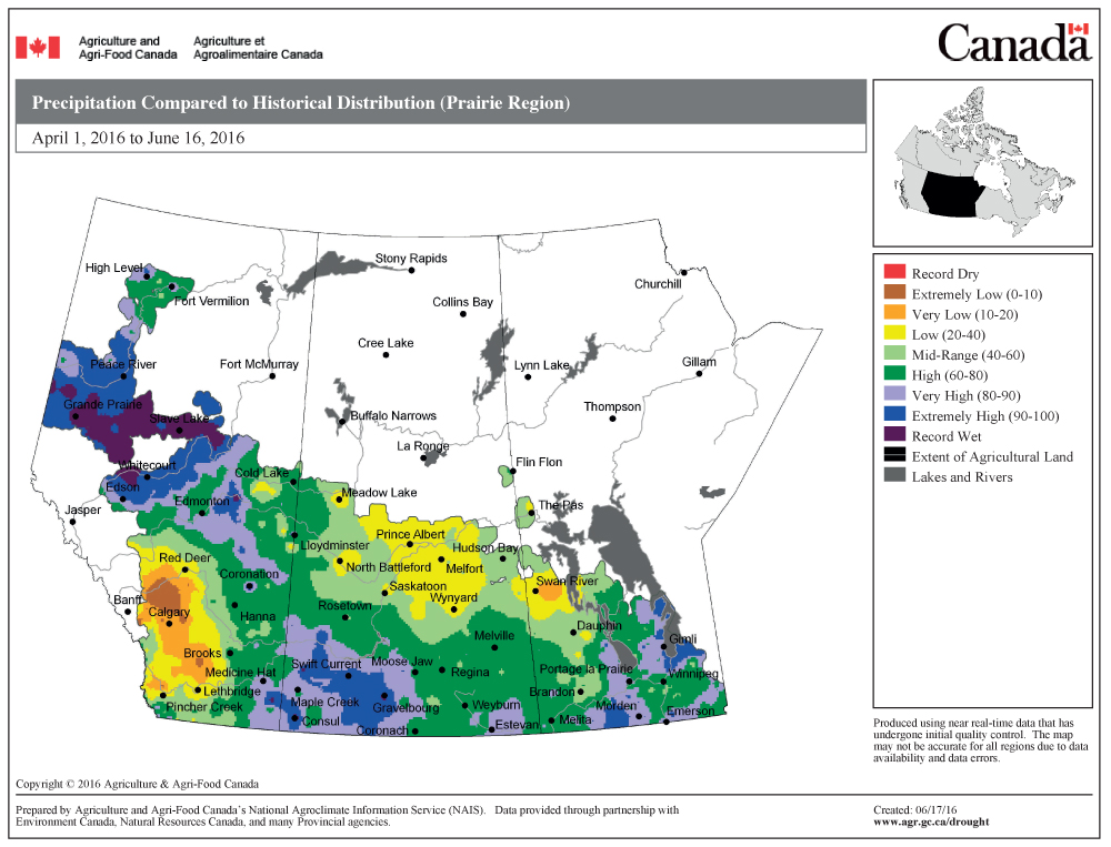
June brings drought relief to western Prairies
Farmers on the Canadian Prairies saw more rain in June than they did earlier in the 2025 growing season
Over the weekend the weather models show a strong area of low pressure moving across the southern Prairies, both at the surface and at upper levels. The exact track of this low will have a big impact on this weekend’s weather. Currently it looks like the low will track from central Saskatchewan on Friday to be around Lake of the Woods by Sunday. We can expect to see thunderstorms develop ahead of this system late Friday, with showers and thundershowers scattered around on Saturday. Sunday also looks to be on the showery side along with some fairly strong northerly winds.
Monday and Tuesday look to be sunny, but a little on the cool side, with highs only around the 20 C mark as an arctic high builds southward. Temperatures will then warm up by Wednesday as the strong early-summer sunshine warms the high. We should expect to see highs climb back into the mid-20s by Wednesday or Thursday, with overnight lows in the lower teens.
Usual temperature range for this period: Highs, 21 to 29 C; lows, 8 to 16 C.