After a cool start to July and another cold area of low pressure during the middle part of this week, it finally looks like we might see a return of summer heat.
I guess the main weather story for this forecast period is another unseasonable strong surface and upper low moving through our forecast region. This low looks as if it will bring some much-needed rain to western regions and some not-so-needed rain to eastern regions. As this low intensifies (due to a strong jet stream), it will pull down some fairly cool air. This will make the middle part of this week feel more like fall than summer.
Read Also
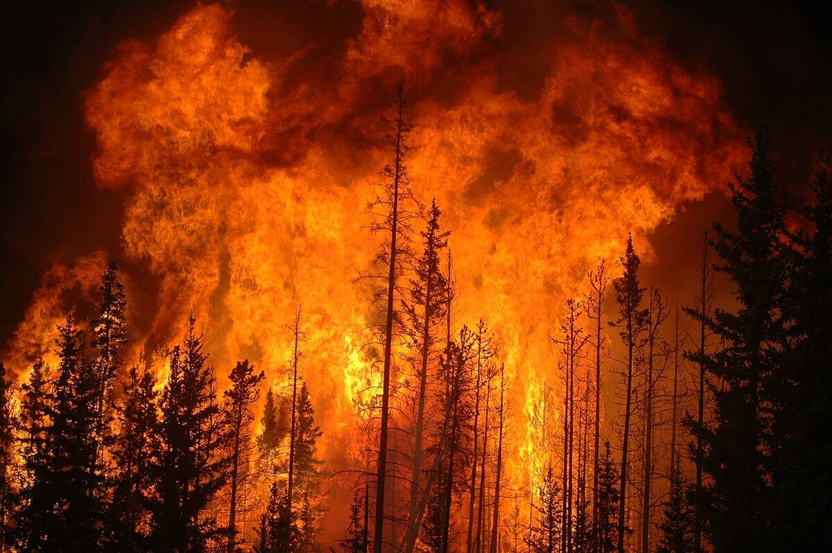
YEAR IN REVIEW: 2025 a year of weather extremes
Wildfires, drought and flash floods, oh my! Looking back at the year’s headline-grabbing events in Canada and around the world.
Once this low pushes out, things will hopefully finally start to warm up. The models are showing a fairly broad ridge of high pressure building over western North America. This ridge is forecast to begin pushing into our region over the weekend. With this ridge we should see more sun than clouds along with warming temperatures. High temperatures by Sunday should be in the mid-to upper 20s.
This ridge of high pressure should push the main storm track farther north for next week as another area of low pressure is expected to develop and push in our direction. This means more northern areas of agricultural Manitoba will see the best chance for rain next week with southern areas only seeing scattered thunderstorms. With the track of this low farther north, southern regions should also stay milder.
Usual temperature range for this period: Highs: 22 to 31C Lows: 10 to 17C


