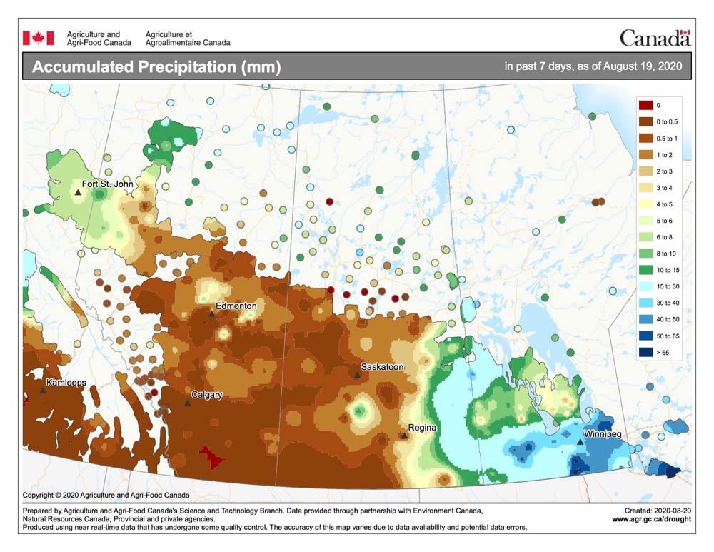
Last issue’s forecast didn’t pan out exactly as the weather models figured. As with previous forecasts, the general pattern was fairly accurate, but the timing ended up being off by several days. As we continue into the transition period between summer and fall, we will likely see more difficulties with the weather models trying to get the longer-range forecast periods right.
For this forecast period it looks like we will begin with an area of low pressure pushing northeastward out of the southwestern U.S. This system will bring a mix of sun and clouds along with the chance of showers and thundershowers to most of southern and central Manitoba on Wednesday and Thursday. Weak high pressure will move in on Friday and Saturday, bringing with it plenty of sunshine along with daytime highs in the low to mid-20s and overnight lows falling into the low teens.
Read Also

Canadian canola prices hinge on rain forecast
Canola markets took a good hit during the week ending July 11, 2025, on the thought that the Canadian crop will yield well despite dry weather.
It’s at this point that things could become interesting. Confidence in this part of the forecast is not very high, but as I write this the weather models show an area of low pressure forming to our west, then rapidly intensifying on Sunday and Monday (Aug. 30-31) as it tracks northeast from southern Saskatchewan into north-central Manitoba. Should this system develop and track as forecasted, southern and central regions will see a good chance of heavy showers, thundershowers and possibly thunderstorms on Sunday as a warm front pushes north. As the low deepens and zips off to the northeast, cool air will push southward on Monday and Tuesday. Currently, the weather models are keeping the coolest air to our north, but as I have already stated, there is a lot of uncertainty with this system. Should this system pan out, daytime highs will struggle to make it to 20 C with overnight lows falling into the 5 C range on both Monday and Tuesday.
Usual temperature range for this period: Highs, 18 to 27 C; lows, 6 to 13 C.


