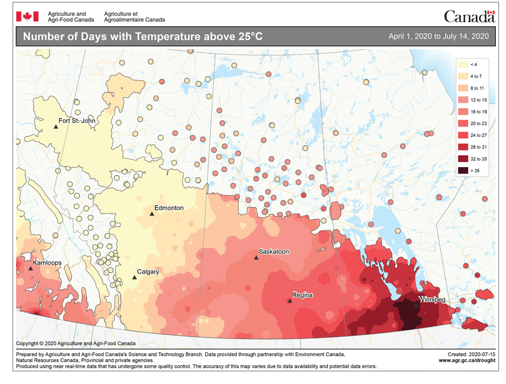
After a bit of a break from the really warm temperatures we saw during the first week or so of July, it looks like the heat will try to build back in during this forecast period as an upper ridge builds over the central U.S. The big question is, just how far north will this ridge build? If it builds further north than expected, then we will see very warm temperatures. A little further south and we will be cooler and wetter.
With this in mind, here’s what the weather models say for this forecast period. From July 22 to 24, the upper ridge will be building and a surface high slowly drifting off to the east with low pressure developing to our west. This will place our region under a strong southerly flow of warm/hot humid air. Expect mostly sunny skies, along with daytime highs right around 30 C and overnight lows in the upper teens.
Read Also

VIDEO: Here’s Manitoba’s 2026 spring storm forecast
Weather models are calling for above-average precipitation in southern Manitoba, with at least two more Alberta clippers possible.
Over the weekend (July 25-26) the western low is forecast to push eastward overtop of the upper ridge. This will bring increasing clouds along with the chance of showers and thundershowers. Of course, stronger thunderstorms can’t be ruled out with all the heat and humidity around. Expect daytime highs to be a little cooler with the cloud cover, but overnight lows should remain very mild.
To start next week (July 27-29), the weather models show the upper ridge remaining in place with a large surface high moving in over the Prairies. This will bring a return to mostly sunny skies and warm temperatures, with daytime highs once again pushing the 30 C mark and overnight lows falling into the mid- to upper teens.
Looking further ahead, the weather models hint at a bit of a cooldown to begin August as the upper ridge collapses and high pressure builds in from the north. But as with all longer-range forecasts, a lot can change between now and then.
Usual temperature range for this period: Highs, 23 to 31 C; lows, 13 to 18 C.


