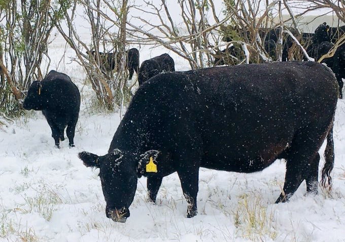
Farmers are scrambling to harvest few last acres as a forecasted blast of winter moves into the northwest.
Environment and Climate Change Canada (ECCC) has upgraded areas around Dauphin and south to Minnedosa from a special weather statement to a snowfall warning as a Colorado Low looms over the province.
The Roblin, Riding Mountain and Dauphin regions are expecting 10 centimetres, “and possibly a bit more over the higher terrain,” ECCC warns.
Read Also

VIDEO: What climate change data gets wrong about the Prairies
Precipitation, not temperature, may be a better gauge of climate change impact on the Prairies, says director of the Prairie Adaptation Research Collaborative.
A similar snowfall warning has been released around Minnedosa and west towards Hamiota and Birtle.
Other regions are bracing for a later, but more intense hit.
Snowfall amounts are still “highly uncertain” for most of southern Manitoba, according to the special weather statement, although “it seems as though the highest amounts will be north and west of Winnipeg, where total snowfall accumulations near 30 cm are possible by the end of the day Saturday.”
Precipitation is expected to shift into rain east of Winnipeg.
ECCC is warning residents to adjust their Thanksgiving travel plans accordingly.
Follow the Manitoba Co-operator on Twitter @MBCooperator and watch manitobacooperator.ca for more storm coverage this week.