Manitoba’s Chambers of Commerce wants the provincial government to go “light” on floods.
The Manitoba Chambers of Commerce is asking the province to use Light Detection and Ranging (LIDAR) to help control flooding in the Red River Valley and Assiniboine River basins.
LIDAR is an optical remote sensing technology which accurately measures the distance to a target by illuminating it with light.
LIDAR data used for three-dimensional topographic mapping provides digital elevation models for landscapes. This helps to understand an area’s hydrology, including where and how fast water flows and how much sediment it dislodges.
Read Also
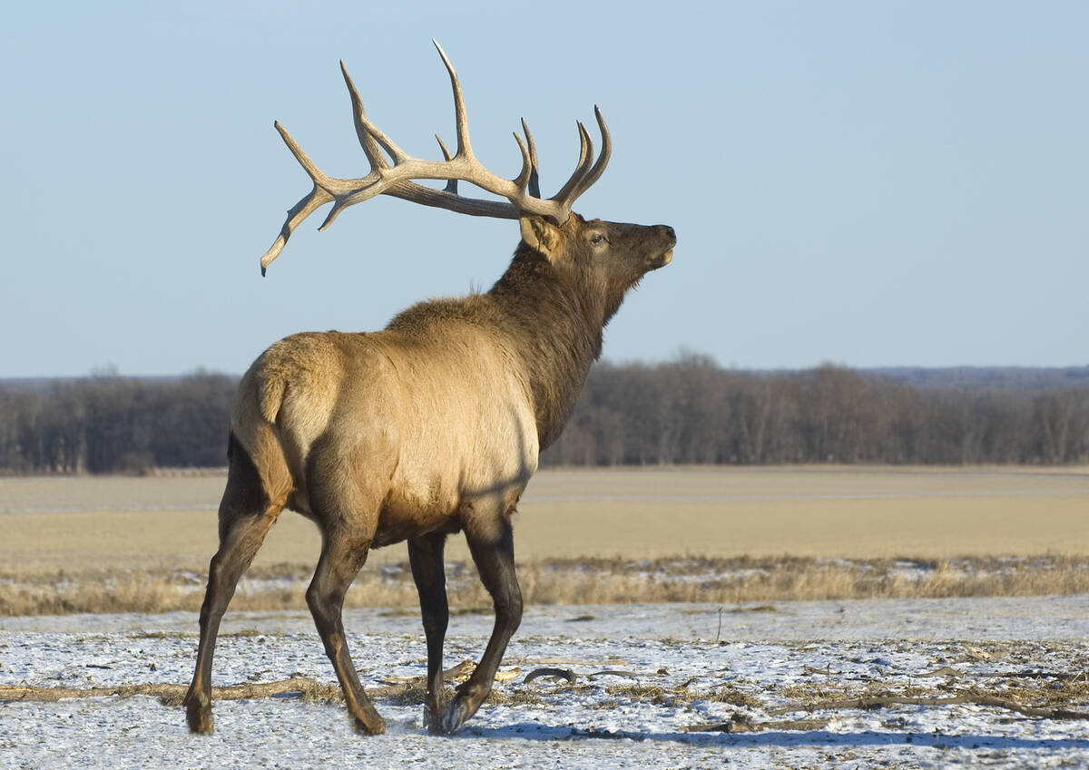
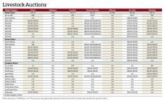
Manitoba Beef Producers take aim at elk surge, feed losses from wildlife
Resolutions at last month’s Manitoba Beef Producers meeting seek help to rein in elk and deer populations, expand fencing supports and improve compensation for wildlife damage.
As a result, LIDAR aids in predicting flood levels, water flows and stream bank erosion.
In a resolution passed at their May 13-15 annual meeting in Winnipeg, Manitoba Chamber of Commerce members called on the NDP government to invest in greater use of LIDAR to collect flooding data in the Red River and Assiniboine River valleys, as well as other areas of Manitoba subject to flooding.
The association said the province currently employs LIDAR on a small scale and increasing its use could help reduce flooding through better watershed management.