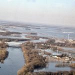
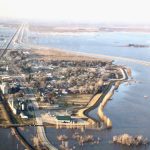
Flood photo 16
The Emerson-Pembina border crossing.
Photo: Allan Dawson
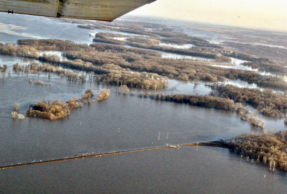
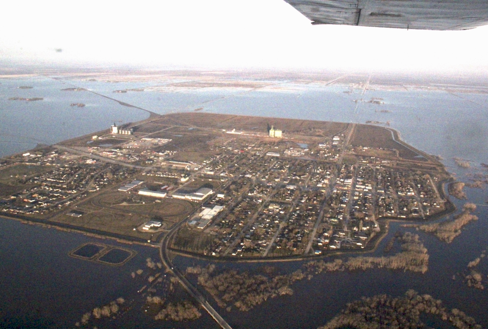
Flood photo 14
The flooding situation north of Emerson.
Photo: Allan Dawson
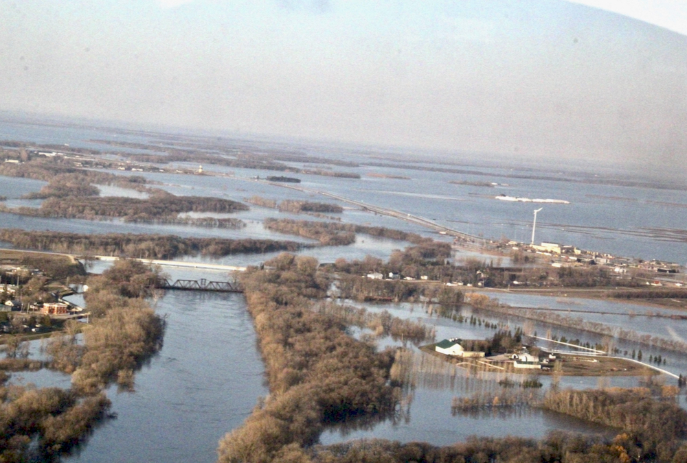
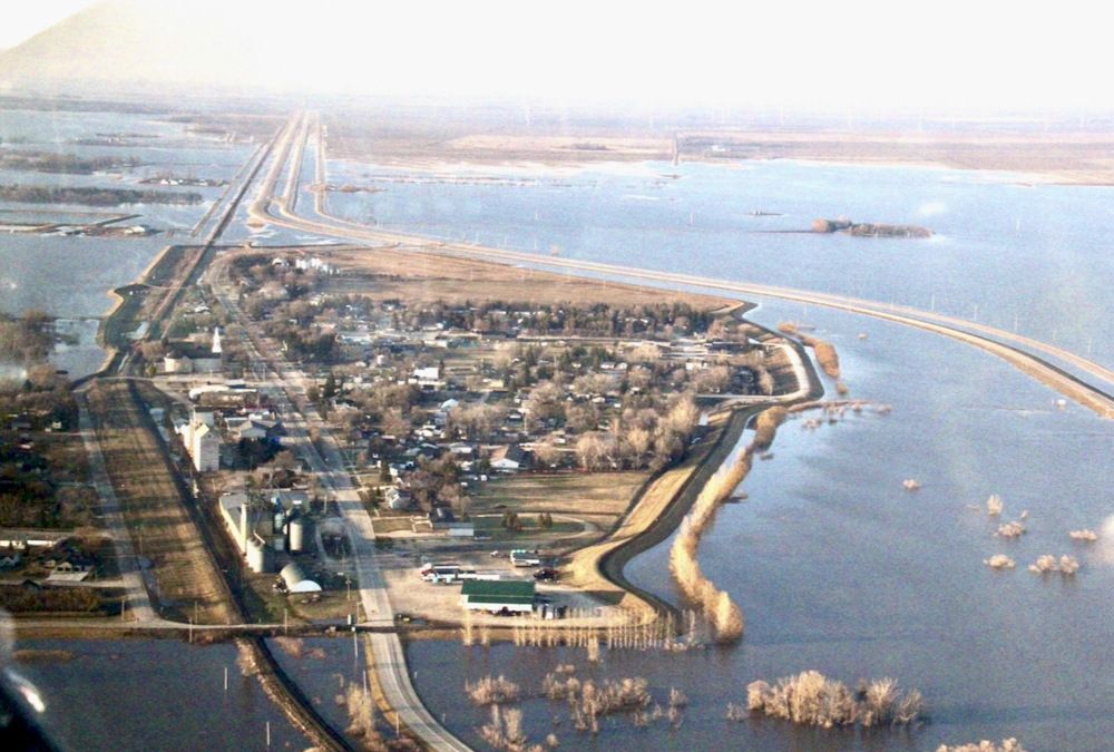
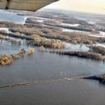
Flood photo 12
South of Letellier.
Photo: Allan Dawson
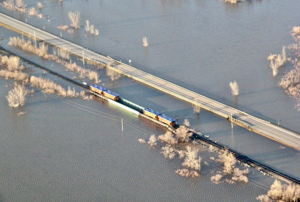
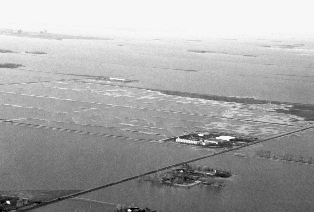
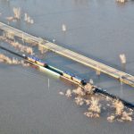
Flood photo 8
Rail cars weigh down a railway bridge south of St. Jean.
Photo: Allan Dawson
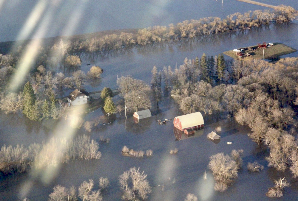
Flood photo 7
St. Jean flooding, looking south.
Photo: Allan Dawson
Flood photo 3
Floodwaters at Morris, looking southwest.
Photo: Allan Dawson

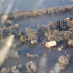
Flood photo 2
Flooding near Rosenort.
Photo: Allan Dawson
Flood photo 1
Flooding near Rosenort looking northeast.
Photo: Allan Dawson
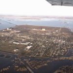

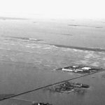
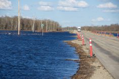
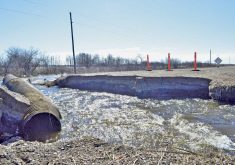
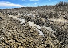
Spring seeding is delayed on thousands of acres of Manitoba farmland, including in the Red River Valley south of Winnipeg, due to flooding following a winter of heavy snow accumulation and three snow and rain events in April.
The photos seen here were taken the morning of May 6, 2022, by Manitoba Co-operator reporter Allan Dawson, courtesy of a flight flown by Curtis Penner.
VIDEO: High waters from high above
Read Also
Canada’s farm safety net wasn’t built for this kind of drought
Canada’s business risk management programs were designed as a safety net for one-time shocks. Experts say multi-year droughts are exposing a structural gap — and the fix requires a fundamental shift from paying for losses to preventing them.
On May 5, Manitoba Transportation and Infrastructure’s Hydrologic Forecast Centre said water levels on the Red River south of Winnipeg would continue to increase. Peaks are expected to match those recorded in 2009 between Emerson and Letellier, with slightly lower water levels of between the 2011 and 2009 floods from St. Jean Baptiste to the Red River Floodway inlet.
“Water levels are expected to remain high for an extended duration in many areas in southern and central Manitoba,” the Government of Manitoba’s Flood Bulletin #15 said.
A further 10 mm of rain forecast for May 7 is not expected to add to the flooding.
As of May 5, 25 Manitoba communities were under localized states of emergency.