This forecast period will start with us seeing a predominantly westerly flow. To our north there will be an area of high pressure, while to our south we’ll see several weak areas of low pressure moving by within the westerly flow. This makes the first part of the forecast period a little tough to figure out. We should see more sun than clouds, and most of the precipitation associated with the weak southern lows should stay to our south. Temperatures will begin on the cool side, but we should see a warming trend begin late in the week.
Read Also
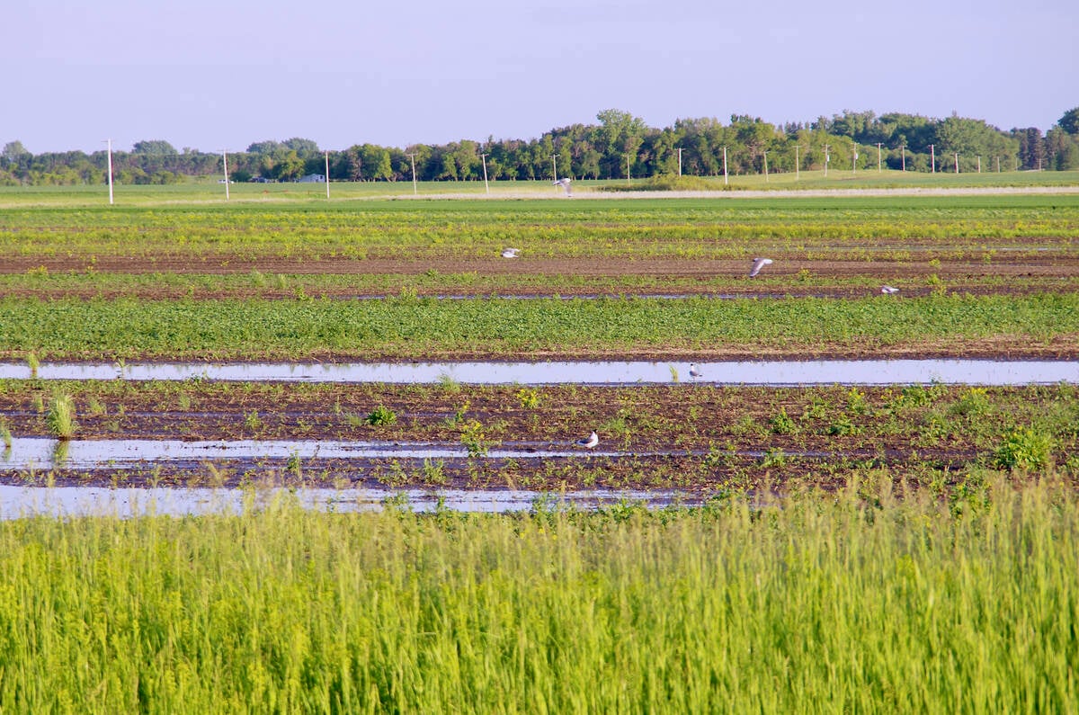
VIDEO: What climate change data gets wrong about the Prairies
Precipitation, not temperature, may be a better gauge of climate change impact on the Prairies, says director of the Prairie Adaptation Research Collaborative.
By the weekend, a building ridge of high pressure in the upper atmosphere will begin to move eastward. This will allow temperatures to moderate as the winds become more southerly. Exactly how warm it will get over the weekend depends on the amount of sunshine. The weather models are showing several weak areas of low pressure sliding along the eastern edge of the upper ridge, so we should see a mix of sun and clouds over the weekend with the odd shower. Highs will likely be in the upper teens, and if we get enough sun we could see highs in the low 20s.
These warm temperatures should continue into the early part of next week as the upper ridge slowly pushes east. To our west, the weather models show a strong area of low pressure developing on the back side of the ridge. Confidence in the timing, track and strength of this storm system is low right now, but this system will need to be watched as it moves eastward around Wednesday.
Usual temperature range for this period: Highs, 5 to 19 C; lows, -5 to +5 C. Probability of precipitation falling as rain: 75 per cent.


