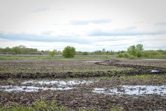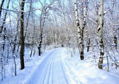
It’s been a scorcher across the Prairies this year. Even the typically moist Red River Valley registered exceptional drought last summer and western farmers are seriously hoping for snow cover this winter to bring those soil moisture levels up.
Masaki Hayashi, a professor with the University of Calgary’s geoscience department, says that’s only half of it. Prairie snow is important but it needs to find its way into the ground, recharging reserves.
“The Canadian Prairies are unique… it’s dry but it’s also cold,” he explains. “The snowpack accumulates but when it melts, the ground is still frozen. This precious meltwater, instead of infiltrating into the ground, actually runs off and tries to find the lowest spot in the landscape.”
Read Also
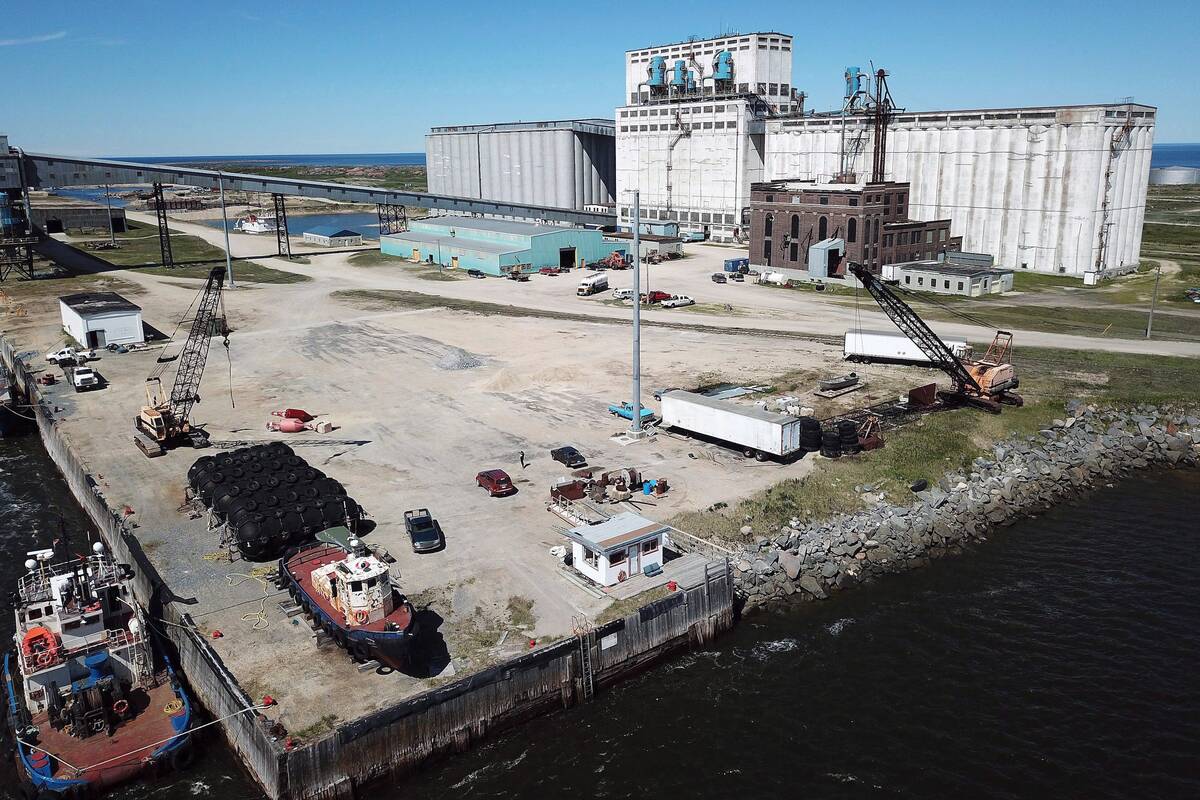
Making way for Port of Churchill expansion
Rail car limits, climate research and marine planning will determine if the Port of Churchill actually can grow beyond its four-month shipping season into year-round trade.
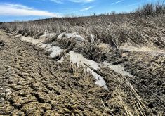
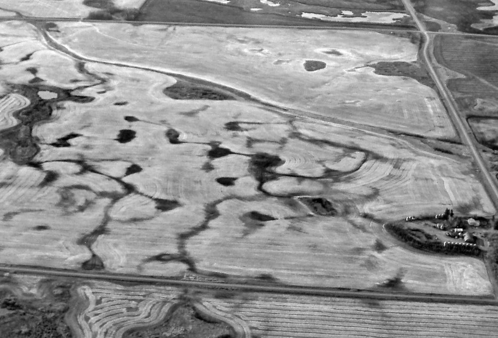
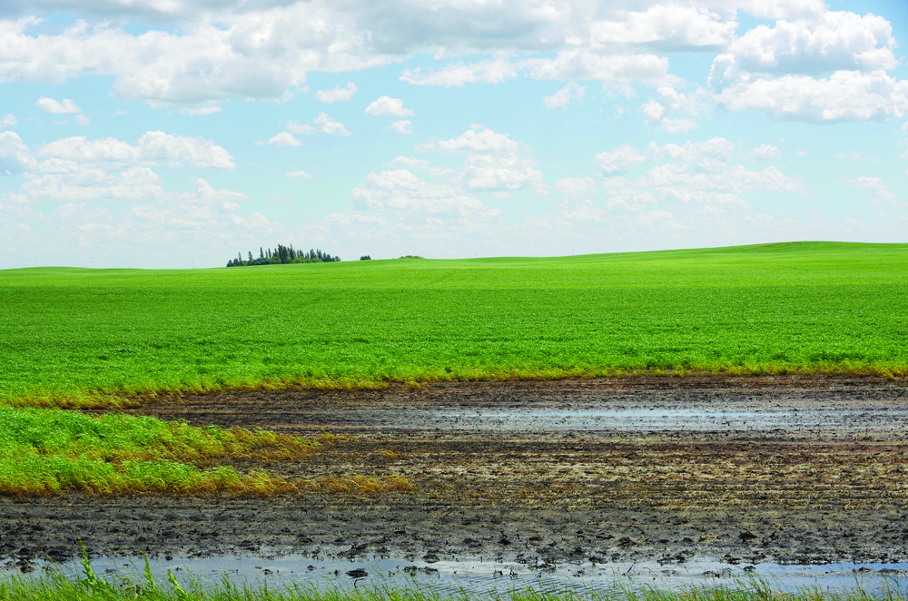
The result of that would be a straight run to the streams and rivers that would take meltwater downhill to the nearest ocean — but there’s something that slows it down and holds it. We’re all familiar with the ponds and sloughs familiar to Prairies people but they aren’t the whole story. The Prairies are dotted with countless thousands of small depressions on the landscape, almost like the surface on a golf ball, tiny dimples, some less than a foot deep and 100 metres across.
“There are just so many millions of them,” Hayashi said. “They’re pretty small individually but collectively they hold a lot of water during the snowmelt and then eventually the soil underneath those depressions thaws and the snowmelt water percolates down. That’s the main mechanism of groundwater recharge.”
Approximately one-third of Canadians depend on groundwater and this holds true across the Prairie provinces. Hayashi conducted a study at Spyhill, located in the northwest corner of Calgary. Once used for grazing it’s mostly tame hay so it presents deep-rooted perennials, similar to a natural grassland, with a dark-brown Chernozem soil underneath.
“We have our own meteorological stations, so we measured precipitation, temperature, humidity and the wind,” Hayashi said. “And we also have a specialized device measuring evapotranspiration. We can actually monitor how much water the plants are taking up every day.”
The stations showed how much water infiltrated the soil and compared it to how much went back into the atmosphere through evapotranspiration. This gave them a good idea how much of it went deeper into the soil where it reached the water table and was retained as groundwater.
Data from the meteorological stations were plugged into a computer model and they compared the results to what the field data told them. According to a paper they published, the model presented the seasonality of the different hydrologic processes, the evapotranspiration and groundwater recharge reasonably well, compared to the field observations from the ground stations.
The next question was, what does this mean in a possible future when temperatures are higher, winters are shorter with less snowpack and summer precipitation is greater?
“The result that was presented in the paper is that recharge is expected to decrease,” Hayashi says. “We can’t tell how much but there will be a sizable decrease in recharge because the snow accumulation is going to decrease. You will have warmer winters and a slower start of snow accumulation and a thinner snowpack. We won’t have that meltwater filling up the depressions under the future climate. I think that was the take-home message of that paper.”
It may sound strange but it’s that crucial snowpack and spring melt that recharges the groundwater. A warmer, wetter summer may increase the soil moisture but it may also increase evapotranspiration. Greater heat means greater evaporation and any plants, either natural or crop species, will use as much of the water as they can get.
The possibility of reduced groundwater supply is important to that third of the population that depends on it and managing groundwater is very much like managing a bank account. No matter how much the account is holding you can’t withdraw more than goes in. Groundwater is renewable but it only goes at its own speed. This kind of work may offer us a crucial tool in predicting and managing future groundwater supplies and allocation.
“In Alberta there’s not going to be more irrigation because the water supply is maxed out so there’s no more water for irrigators,” Hayashi says.
“I think the agriculture will change with the warming of the climate but I’m not entirely sure where this is going to go; how would that impact the choice of crops and how would that impact water use? Those are interesting questions.”
Causes of depressions
Our Prairie landforms are a consequence of several different causes. Some are from river and stream action. The wind has always played a big part in what we see and some come from the work of those ancient herds of bison. The most profound of all were the glaciers that retreated about 10,000 years ago.
Even all the small depressions that make groundwater recharge possible come from those massive continental ice sheets. Something in their behaviour pockmarked the Prairies with potholes, sloughs and depressions and, although we’re not certain how, there are two possibilities.
A mile-thick sheet of ice comes about because of snow accumulation over a long time period. In the process of accumulation, the weight of the snow actually presses its lower layers into ice and the pressure is great enough that the ice behaves like a thick fluid. The mounting pressure actually pushes the ice southward in much the same way pancake batter flows when you pour it onto a griddle. The massive ice sheet scrapes the land, much like an enormous bulldozer and, because the ice thickness varies all the way across the glacier, the forces exerted on the ground will be uneven. These depressions could be a result of that.
Or, as the glaciers retreated they didn’t actually move. In a process called ablation, they simply melted away starting in the south, moving north. As the toe of the glacier weakened, big blocks of ice would actually fall off and land on the outwash plain only to sit there until they melted away. The force of the drop and the action of the meltwater may have formed a small pool around the melting ice block. Whatever the reason, the sheer number of these features is instrumental in how our northern landscape captures and holds water either in the soil or in the underlying geology.
Groundwater basics
What is groundwater?
Almost all farms get water from a well drilled into the earth where potable water, stock water and irrigation water may be pumped out. That’s simple enough.
How it gets there in the first place, how it moves through gravel or into cracks and fissures within bedrock can be really complicated. Water quality, quantity and accessibility is dependent on a dizzying array of variables. It starts with rain or snow falling on the recharge area.
Some of that water will evaporate back into the atmosphere or it may be collected by the local plants that will use it for metabolism and then release it through their leaves and into the air. The combination of evaporation and transpiration is called evapotranspiration. Some of the fallen water percolates deeper into the soil.
Different soil types as well as vegetation can make a difference in how easily the water can move through it. Some materials, like clay, will hold water more effectively than sand because sandy soils provide more of the pore spaces that water may move through. Different vegetation covers will also have some effect. Deep-rooted plants provide a conduit of sorts that allows water to penetrate farther into the soil. Then there are the cracks, worm tunnels and gopher holes that may provide quick passage for rain- or meltwater.
Gravity takes some water deep enough that it finds its way into the water table. That’s the level where the pore spaces are filled to capacity with water, or saturated. These may range from small pores such as you find in sand and gravel up to the caves and tunnels within layers of limestone.
Groundwater will follow gravity and move downhill through whatever material it’s seeped into. This is called an aquifer and this is what you tap into when you dig a well. Sometimes these will discharge at a lower point of the land surface into a small channel or cave that we call an artesian spring.
Some groundwater finds its way into lakes or rivers and joins the surface water in a journey to the ocean where it will evaporate and fall again. Some of it will evaporate sooner and may also fall into the same recharge area and start the process all over again. It moves in this pattern that we call The Hydrologic Cycle no matter how long the trip is.