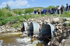
A new water forecasting tool will soon be available to farmers in the Pembina Valley.
“When people hear ‘forecasts,’ they think of weather,” says Duncan Morrison, CEO of the Manitoba Forage and Grasslands Association, noting the technology does more than look at expected precipitation.
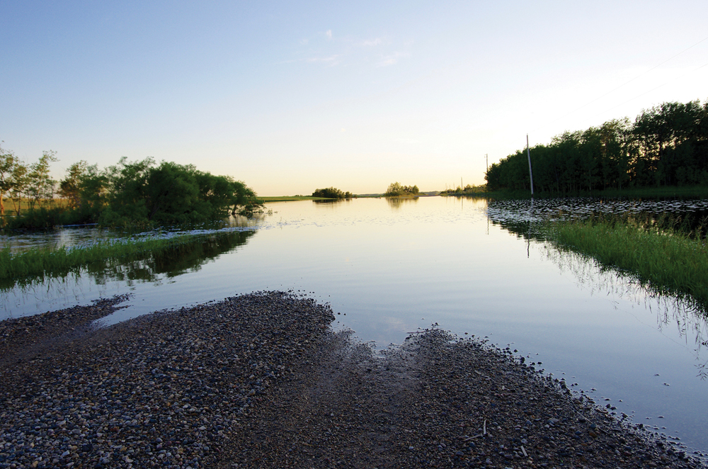
“It is a detail of water resources and water movement across the Pembina River Valley. There are things like soil moisture, groundwater and surface water flow that farmers and land managers will be able to access in real time,” says Morrison. “This is powerful.”
Read Also
Farm sustainability means farmer wellness too
University of Manitoba LEAP program wants to talk farm succession, self-efficacy and community supports as part of agriculture wellness and sustainability study.
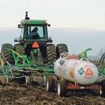
The tool will help farmers with short-term planning by letting them know how much water is coming from upstream. It will help them in the longer term through analysis of historic water movement trends, says Morrison.
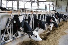
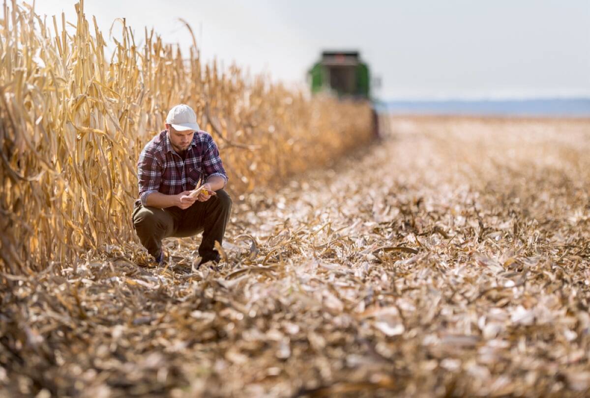
“They can plan their crop rotations or their various livestock movements based on this data.”
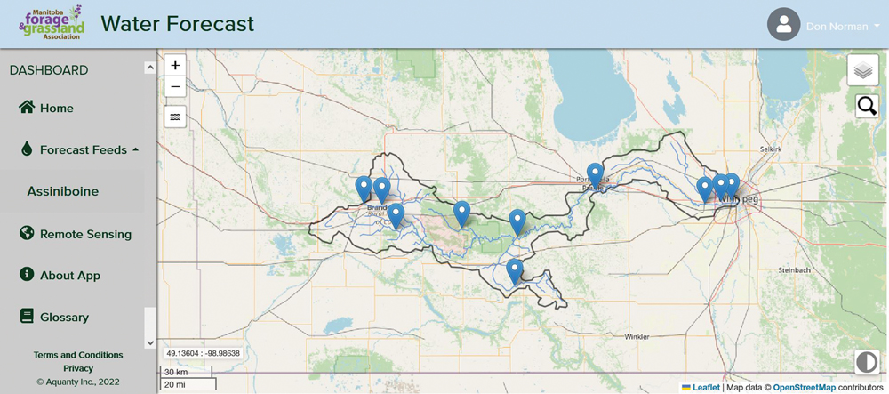
The Pembina Valley project represents the second major water forecasting platform for MFGA. In December 2022, it showcased a similar tool for the Assiniboine River Basin. Both forecasting tools will be hosted on the MFGA website.
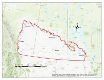
The Pembina Valley forecasting tool is the first to include water courses of the Red River Basin. The two tools are being developed concurrently and are on track for completion and launch before the end of March.

The MFGA developed the tool in partnership with the Pembina Valley Watershed District (PVWD) and the hydrologic modelling firm Aquanty to construct the high-resolution HydroGeoSphere simulation model.
The work began in 2015. By 2016, the project was greenlit with an Agriculture and Agri-Food Canada AgriRisk Initiative grant to develop the tool for the Assiniboine River Basin.
“When we originally started out in the Assiniboine River Basin, it was almost like an insurance-type mandate,” says Morrison, adding that the function was to look at the role of forages and grasslands in times of flood or drought.
“It really was an incredible tool,” says Morrison, but it was built to help policymakers and larger conservation agencies.
“Where this tool really shines is that it will give individual farmers the ability to access that technology on their iPhones, tablets, laptops or home computer systems. It’s very exciting.”
“The ability to access this tool will be a valuable asset to have on so many levels, from farming to wetland conservation to infrastructure decisions,” says watershed district manager Ryan Sheffield.
“From a planning perspective, once we all get up to speed on what the tool can exactly do and tell us, we will have access to a database around water movement and water resources that we have never had before.”
Although the official launch of the new tool is slated for the end of March, an initial beta version can be accessed on the MFGA website. The beta version only includes the Assiniboine River Basin tool, but is functional even in its pre-launch stage.
Clicking on a watershed will zoom in on a specific region. A click on waterways within the watershed will provide a flow forecast at the spot indicated. It may take practice to get useful results but it appears to be a potentially powerful tool.
The beta version exists because the MFGA wants farmers to try it. Morrison says feedback is essential.
“Our next stage will be getting it out into focus groups,” he says. “We’re going to be drilling down into the PVWD using their network of producers as well as our own to get it into farmers’ hands.”
Morrison says he expects bugs and errors in the software as it’s rolled out, but that’s the reason for seeking comments.
“There’s always going to be glitches; that’s just technology, and we’ll work through it.”
The simulation models of the watershed (which extends into the Red River Valley) and the Assiniboine River Basin cover a huge swath of agricultural land in the province. Morrison says future models may be developed in other agricultural areas.
However, any plans will come as a result of discussions with the MFGA board and its partners, including the watershed districts.
“The MFGA is a farmer-led group, and when we discuss how we are going to go forward as a board, we always want to work in the best interest of the producers,” he says. “So we’ve talked about that, and I really believe there’s potential there.”
The project has funding of up to $152,250 from Agriculture and Agri-Food Canada’s AgriRisk Initiatives Research and Development stream via the Canadian Agricultural Partnership.
In a prepared media release, federal agriculture minister Marie-Claude Bibeau said the tool will help producers navigate the impact of climate change and severe weather events that threaten their livelihoods.