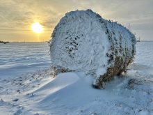
It’s looking more and more like winter is moving in early this year. Last year, at this time, we were looking at several weeks of warm record-breaking temperatures; this year, while not record-breaking cold, it looks to be much more like winter. Last week’s forecast played out pretty close to what was expected, with the main difference being the temperatures running on the cooler side of the forecast.
To begin this forecast period we’ll deal with an area of low pressure diving southeastward out of Alberta and curving to the northeast as it passes through North Dakota on Wednesday. Its path will place us on the cold northern part of the system. How much snow we see will depend upon the exact track the system takes. Extreme southern regions have the best chance of seeing measurable snow.
Read Also
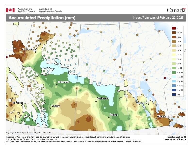
How Earth evens out the energy input
Earth has surpluses of radiation in its equatorial regions, and deficits toward its poles. Our weather is a matter of Earth trying to even out the imbalance, Daniel Bezte writes.
Cool high pressure is then forecast to move in during the second half of this week. Expect sunny to partly cloudy skies, with daytime highs struggling to make it to the 0 C mark and overnight lows in the -6 to -9 C range. Winds look to be relatively light as the centre of high pressure slides across central Manitoba.
Attention then turns to an area of low pressure that is forecast to develop over Montana on Saturday and move quickly off to the northeast on Sunday and Monday. The current weather models show most of southern Manitoba staying in the warm sector of the low on Sunday, resulting in most of the precipitation falling as rain. Western and central regions will likely see more snow than rain, with possible accumulations in the five- to 10-cm range. This system needs to be watched as a small change in the current forecast could result in the first widespread significant snows of the season.
Forecasted temperatures for the middle to end of next week depend on whether or not this system drops snow or rain. Areas that see significant snow will remain on the cool side, with daytime highs expected to stay below 0 C and overnight lows of around -10 C.
Usual temperature range for this period: Highs, -2 to 10 C; lows, -11 to 1 C. Probability of precipitation falling as snow: 60 per cent.


