It is going to be a tougher-than-usual forecast for this week because there don’t appear to be any large weather systems dominating our forecast.
Last week’s ridge of arctic high pressure pushed off to the southeast pretty much as expected and behind the ridge, weak areas of low pressure began moving in from the west. These small areas of low pressure look like they will hang around until at least Thursday and bring chances of light snow. Temperatures should be on the mild side, with highs on most days approaching the 0C mark.
Read Also
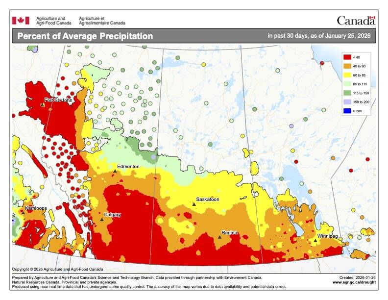
What’s the weather for last half of winter 2025-2026?
A last look at 2025 temperature and precipitation on the Prairies, plus what weather forecasters expect through to spring 2026.
Over the weekend we will likely see temperatures cool down a little bit as a weak area of high pressure tries to settle in from the north. Currently it looks like this high will keep any weekend storm systems well to our south, leaving us with plenty of sunshine.
During the first half of next week, the ridge of high pressure is forecast to move off to the east. This will allow the southern storm track to migrate a little northward. While the weather models are not predicting any direct hits by any storm systems, they point at a few glancing blows. So we could see some snow next week, with the best chances being in the southeast.
Usual temperature range for this period: Highs: -11 to +2C. Lows: -25 to -8C.