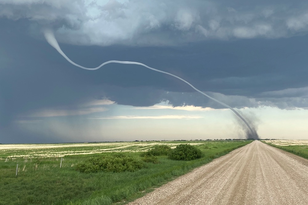
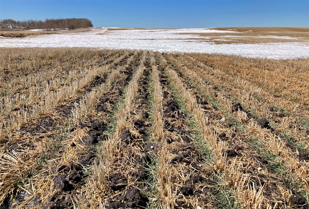
Cold and high pressure won out over most of agricultural Manitoba last week which kept the series of snowstorms mostly to our south with only the extreme southern and eastern parts of agricultural Manitoba seeing any significant snow.
During this forecast period it looks like cold high pressure will dominate again, bringing what can only be described as typical midwinter weather to all regions. We will see a weak area of low pressure slide southeastwards during the second half of the week. This will bring a few clouds with it, along with the chance of the odd flurry over western regions. Temperatures will be cool during this period, but southerly winds ahead of the low will help to moderate temperatures a little bit.
Read Also
Winterkill threat minimal for Northern Hemisphere crops
The recent cold snap in North America has raised the possibility of winterkill damage in the U.S. Hard Red Winter and Soft Red Winter growing regions.
As this low slides by, the models are showing a massive area of high pressure building to our northwest. This high is forecasted to begin building to the southeast over the weekend. The core of the high is expected to remain to our northwest throughout this forecast period, placing us on the eastern edge of the high. This will result in mostly clear conditions along with cold temperatures. Wind chill will likely become a problem as winds will likely be in the 15-km range. Combine this with temperatures running at or below the usual temperature range for this time of the year and that spells dangerous wind chill values.
So it looks like we are heading into what will hopefully be one of the only big cold snaps of the winter.
Usual temperature range for this period: Highs: –22 to -6 CLows:-33 to -16 C