1 Month (30 Days) Departure from Average Precipitation (Prairie Region)
October 14, 2009 to November 12, 2009
Prepared by Agriculture and Agri-Food Canada’s National Agroclimate Information Service (NAIS). Data provided through partnership with Environment Canada, Natural Resources Canada, and many Provincial agencies.
Read Also
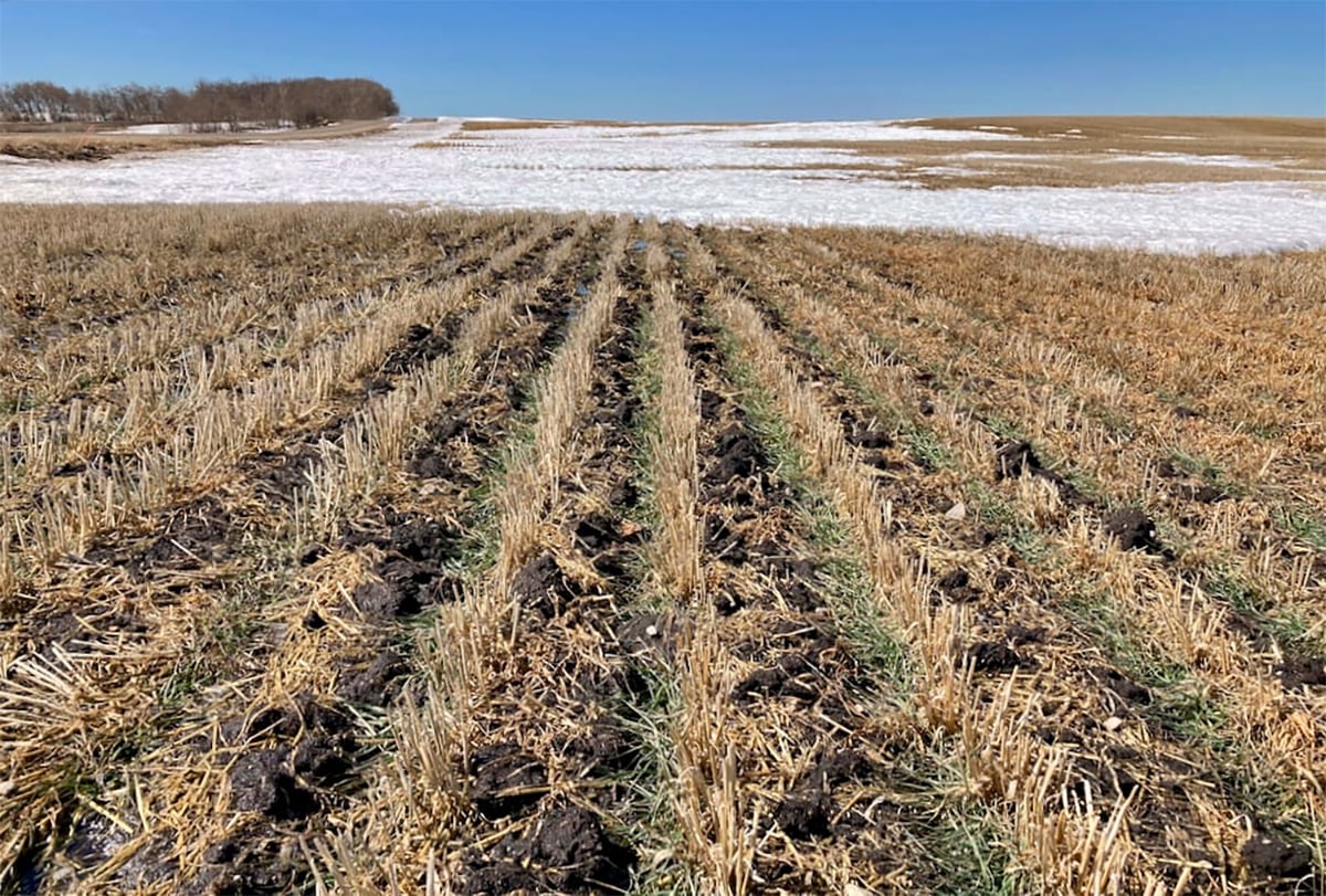
Winterkill threat minimal for Northern Hemisphere crops
The recent cold snap in North America has raised the possibility of winterkill damage in the U.S. Hard Red Winter and Soft Red Winter growing regions.
< -60 mm
-60 to -50 mm -50 to -40 mm -40 to -30 mm -30 to -20 mm -20 to -10 mm -10 to 0 mm 0 to 10 mm 10 to 20 mm 20 to 30 mm 30 to 40 mm 40 to 50 mm 50 to 60 mm
60 mm Extent of Agricultural Land Lakes and Rivers
Produced using near real-time data that has undergone initial quality control. The map may not be accurate for all regions due to data availability and data errors.
Created: 11/13/09
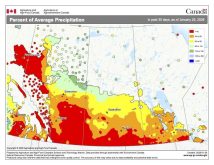
This week’s map shows the departure from average precipitation amounts over the last 30 days (mid-October
through to mid-November). The eastern and central Prairies remained dry during this period, with most
regions recording 10 to as much as 30 millimetres below the long-term average. Alberta was the wet spot
during this period, with a good portion of the agricultural region seeing near-average amounts, and some
areas seeing as much as 30 to 40 mm above average.


