If January was any indication of what weather will be like for the rest of 2024, it is going to be one wild year.
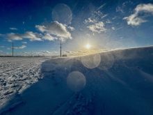
What a month it was! It started off warm. Then winter showed up in full force, bringing record-breaking cold, especially over the western half of the Prairies. Luckily it didn’t last long.
Was the warm weather more pronounced than the cold? Did the cold air win out, or did the warm and cold snaps basically cancel out each other ?
Read Also
Why is the sky blue?
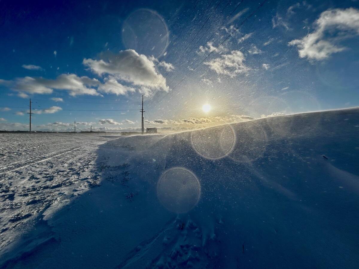
The colour of the skies, on the Prairies and elsewhere, tells the story of the paths sunlight takes as it enters Earth’s atmosphere, Daniel Bezte writes.
Before we look at that, I want to touch on a few things. Part of my course work when I was doing my Masters in climatology dealt with reconstructing past climates using Hudson Bay Company journals. This involved reading through journals, picking out observations about the weather and trying to turn those observations into a temperature or precipitation record.
Many outposts didn’t have thermometers, or if they did, they were often stolen due to the uniqueness of the instruments. There was often no reliable source of temperature data, but people like to talk, and back then, they also wrote about what was happening with weather.
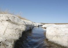
We still have this form of weather data today. For example, as I came home from work last Thursday, I noticed my roof was snow free. I don’t remember the last time my roof was snow free on the first day of February. If I was writing about it, I would have noted it, which would indicate low snowfall.
I also would have noted the roof was full of snow five days earlier, but over those five days it all disappeared. This would indicate temperatures were well above zero as the sun angle is still not strong enough to melt snow with temperatures below freezing, especially on the north facing sides. If you have observations like this, feel free to share them with me.
The second point I would like to mention is how warm it was across the Prairies during the last two days of January. On Jan. 30, there were at least 15 record highs in Manitoba, 23 in Saskatchewan, and more than 60 in Alberta. In all fairness, there are a lot more reporting stations in Alberta than in Saskatchewan and Manitoba.
On Jan. 31, there were at least 20 records broken in both Saskatchewan and Manitoba, with over 50 records broken in Alberta. These are truly remarkable numbers. To give us here at Glacier FarmMedia at little pat on the back, we predicted this about a week in advance.
Now to our look back and then forward to weather model predictions for the rest of the winter and early spring. Alberta had the strongest cold snap and the strongest warm spell. Despite the warm end to January, the warm spell was not enough to overcome the deep freeze in the middle of the month.
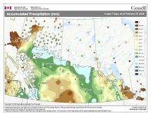
Mean monthly temperatures ranged from about 1.0 C below average in Edmonton to about 2.0 C colder than average in Calgary and Peace River. Precipitation was well below average over central and northern regions, with the Calgary region seeing near to above average amounts.
Across Saskatchewan, temperatures were a little warmer than Alberta, at least compared to average. This was because the coldest air in the mid-month cold snap was centred over Alberta. Both Regina and Saskatoon reported mean monthly temperatures between 0.5 and 1.0 C above average. Precipitation was below average, with most areas reporting only five millimetres of water equivalent precipitation compared to the long-term average of around 15 mm.
Manitoba was the warm spot in January, at least over central and eastern regions. These areas escaped most of the brutal cold weather that infiltrated the Prairies. There were still a few really cold days, especially over western regions, but overall, it wasn’t quite as intense as Alberta.
Brandon was the cold spot with a mean monthly temperature about 0.5 C below average. A little north and at a little higher elevation, Dauphin was 2.0 C above average. Winnipeg was the warm spot as lingering cloud cover during the worst of the cold snap kept temperatures warmer. The mean monthly temperature for Winnipeg was a fairly remarkable 4 C warmer than average. Precipitation across all three regions was well below average for the month.
So, it was a warmer and dryer than average January across the eastern Prairies, with near average temperatures and below average precipitation in Saskatchewan. Alberta struggled with below average temperatures and precipitation with the exception of southern regions.
Looking at different predictions, it is a tough call. The CFS, CanSIPS and my forecast all called for warmer than average temperatures and a cold snap mid-month. But I think the nod for accuracy must go the CFS model because it correctly predicted near to below average precipitation. It even predicted the above average precipitation over southern Alberta.
Now for the latest three-month outlooks. The difficult to decipher Canadian Farmers Almanac appears to call for colder than average temperatures over the next three months, with a dry February and a wet or snowy March and April. The Old Farmer’s Almanac also calls for much colder than average temperatures over the next three months and above average precipitation.
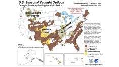
Looking at the computer models, NOAA calls for above average temperatures over the next three months along with near average precipitation. Both the CFS and the CanSIP models call for above average temperatures over the next three months with eastern regions being the warmest. They also call for near average precipitation.
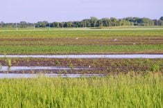
The European model or ECMWF model is also calling for above average temperatures and near average precipitation. With the success of the CFS, CanSIP and ECMWF models over the last few months, who am I to challenge them? All indications are that warm weather will continue. I hope we see much-needed precipitation but I am not holding my breath.


