It might not seem like it, but the weather models did a pretty good job with last week’s forecast. The biggest issue was that the shift to a westerly pattern ushered in milder-than-expected air, resulting in warmer temperatures, especially at night. The Colorado low did develop, but it stayed well to our south. This will be the theme of the next couple of forecasts: Can we dodge storm systems, or will we eventually get hit with one more winter storm?
Read Also

Forecasting spring 2026 weather on the Prairies
What weather can farmers expect across Manitoba, Alberta and Saskatchewan as they head into seeding? Plus: a lesson on what makes the seasons turn
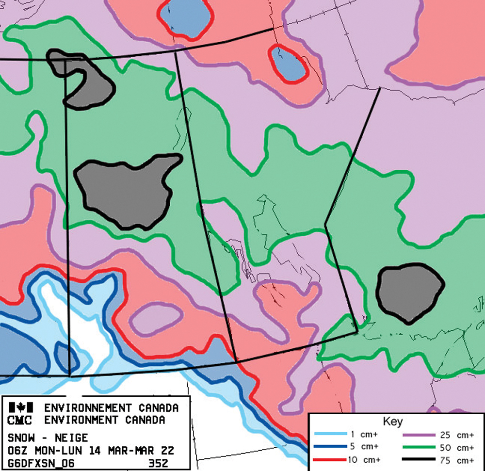
This forecast period looks as if it will start off with yet another Alberta clipper system developing over northern Alberta. Ahead of this system we will see a fairly strong push of mild air which will help to push daytime highs into the +5 to +8 C range, with overnight lows falling to around 0 C. The low is expected to cut through central to northern Manitoba late on Thursday and into Friday. Most precipitation from this system looks as if will stay over central or northern regions, with southern areas only seeing a slight chance of showers or light snow.
Behind this low, weather models are forecasting that an area of arctic high pressure will try to push southward. The models have been back and forth on just how far south this high will push. Best estimates are that we will see daytime highs drop back to around or just below freezing over the weekend.
By Monday it looks like another area of low pressure, this time coming in off the Pacific, will quickly develop and track through the Dakotas. Confidence is not high with this system as its track will depend on the strength of the arctic high. It does look like this system could bring some measurable snowfall to extreme-southern regions on Monday or Tuesday. Amounts look to be in the five-cm range, but the potential exists for higher amounts if all the ingredients come together. It doesn’t look like there will be a strong push of cold air behind this system with daytime highs forecasted to be in the 0 to +2 C range by Wednesday.
Looking further ahead there are some hints of a sustained warm-up trying to build in, but time will tell if the models have it right.
Usual temperature range for this period: highs, -6 to +7 C; lows, -19 to -7 C.