

I broke one of my own forecasting rules — well, maybe rule is not the right term, how about concept, that is, the concept of weather persistence. Once we are in a pattern, that pattern will often continue until something significant comes along to change it. The pattern we have been in for the last month has been cold arctic air, followed by a short winter storm with a warm couple of days, repeat. In the last forecast I trusted the models that showed the arctic air dominating and the storm track dropping to our south. While we did see some cold arctic air, it was broken up by a couple of small storm systems which brought some more snow, winds and milder temperatures.
Read Also

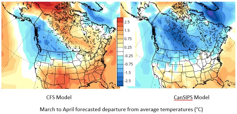
Forecasting spring 2026 weather on the Prairies
What weather can farmers expect across Manitoba, Alberta and Saskatchewan as they head into seeding? Plus: a lesson on what makes the seasons turn
For this forecast period, it looks like we are going to start off with a bit of a fight between cold arctic high pressure to our north and east and milder air to our southwest. At the time of writing, the weather models show a series of lows forming over Alberta from Wednesday, Feb. 9 through to Saturday which will quickly dive southeastward every day or so. Each of these systems has the potential to bring a quick couple of centimetres of snow along with some blustery winds. Temperatures, should this pattern pan out, should stay relatively mild, with daytime highs in the -12 C range and overnight lows around -18 C.
By the weekend it looks like cold arctic air will move back in as a large high drops southward. Daytime highs are expected to fall back into the -24 C range with overnight lows falling into the low -30s. Luckily, it looks like this high will slide off to the southeast by early next week, which will allow the flow across our region to become more westerly. This will result in moderating temperatures with daytime highs climbing back up towards the -10 C range and overnight lows falling to around -18 C.
Looking further ahead, the pattern of stormy and cold weather may be sticking around for at least one more week.
Usual temperature range for this period: highs, -19 to -3 C; lows, -32 to -12 C.


