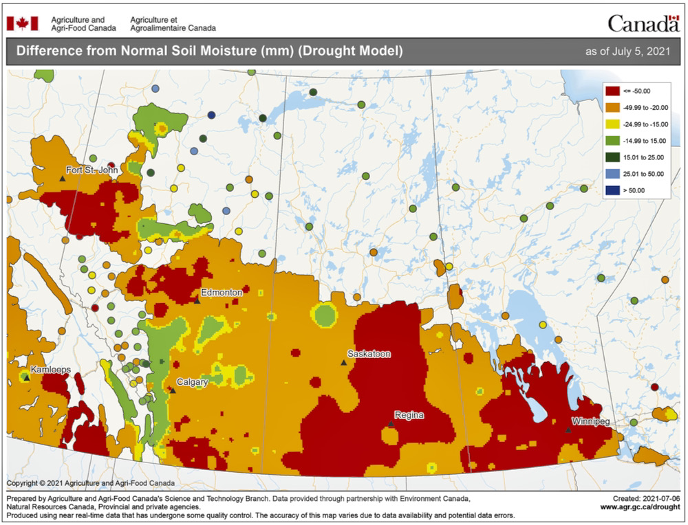
Well, we have talked about this subject before: weather persistence.
That’s the idea that the same general weather pattern will continue despite what the weather models or the atmosphere are trying to do. We saw this in the last forecast period as the warm to hot, dry weather continued to dominate. We did see a few light showers or thundershowers across extreme-southern regions, and we did see a couple of days cool down, but overall, warm, sunny weather prevailed.
For this forecast period it unfortunately looks like this pattern will continue to persist. I wish I had better news. The weather models show a large surface high building in to begin this forecast period. Despite the cooler nature of this surface high, the sunshine together with the light winds should result in temperatures on the warm side, with daytime highs in the mid- to upper 20s and overnight lows dropping into the mid- to lower teens.
Read Also
How Earth evens out the energy input
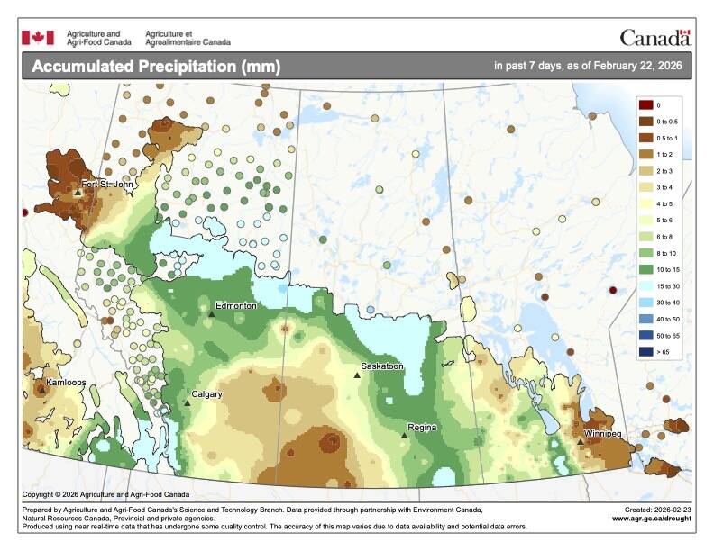
Earth has surpluses of radiation in its equatorial regions, and deficits toward its poles. Our weather is a matter of Earth trying to even out the imbalance, Daniel Bezte writes.
By the weekend (July 17-18), the weather models show a building upper-level ridge across the north-central U.S. extending northward into Saskatchewan and Manitoba. This ridge will bring hot and more humid conditions on the weekend, with daytime highs pushing back into the low to possibly mid-30s with overnight lows only dropping to around 20 C.
The only possible piece of good news is that this ridge is forecast to push off to the east early in the week of July 19. This will allow an area of low pressure to push in from the southwest, bringing a chance for showers and thundershowers on Monday or Tuesday.
Looking further ahead, the dry, warm weather looks to move back in for the remainder of the week.
Usual temperature range for this period: Highs, 22 to 31 C; lows, 10 to 17 C.


