Don’t remember the last time I have seen the forecast and the actual weather play out nearly perfectly for three weeks in a row, but that is exactly what has happened over the last three weeks. Confidence in hitting four weeks in a row is not that high, though, as the weather models are starting to jump around, which is not unusual as we begin the transition from fall to winter.
To begin this forecast period, an area of low pressure that tracked through the northern Prairies during the first half of the week, and brought the well-above-average temperatures, will be moving off to the east. This setup will cause the flow over our region to become northwesterly and that means cooler weather. Expect temperatures to cool down into the 7 to 10 C range by Wednesday or Thursday. After this point the weather forecasts become uncertain.
Read Also
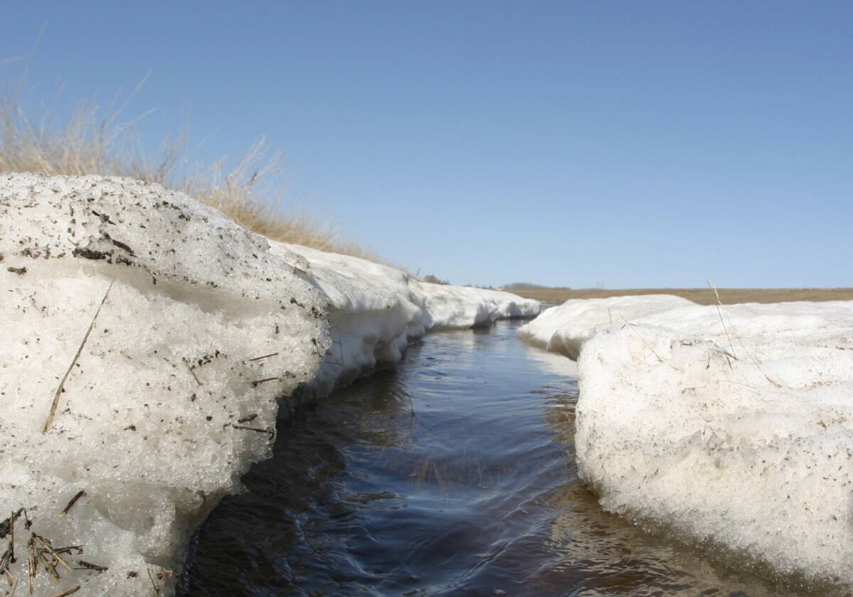
Forecasting spring 2026 weather on the Prairies
What weather can farmers expect across Manitoba, Alberta and Saskatchewan as they head into seeding? Plus: a lesson on what makes the seasons turn
The weather models have been bouncing between a strong ridge of high pressure building to our west and a deep upper trough digging to our east. The most recent model runs have the eastern trough winning out as an upper low slowly spins and drifts southward out of Hudson Bay over the weekend. This would keep our temperatures very cool with highs in the 4 to 6 C range and overnight lows falling to around -5 C. There is a chance of the odd flurry on Sunday or Monday, Oct. 25, as a weak area of low pressure tracks southeastward in the northwesterly flow.
Temperatures then look like they will warm up as the eastern trough weakens and a trough over the West Coast strengthens, allowing a ridge to build across our region. Daytime highs should slowly warm toward the 10 C mark by Oct. 27, with even warmer temperatures possible as we move toward the end of October and Halloween. Should the western ridge end up being stronger than expected, then temperatures can be bumped up a good 5 to 8 C over this period.
Usual temperature range for this period: highs, 4 to 15 C; lows, -6 to +4 C.


