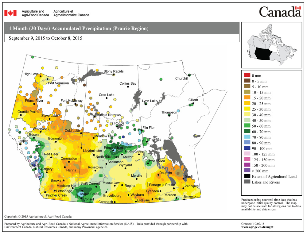
Warm, dry weather moved in over the first half of the Thanksgiving long weekend as expected, but after that things kind of went a little awry. A strong area of low pressure helped to boost temperatures into the low to mid-20s, but instead of tracking through northern Manitoba, last weekend’s low took a much more southerly route, bringing showers and even the odd thundershower to southern and central regions, not to mention some very strong winds.
By the start of this forecast period, that strong area of low pressure will be over northern Quebec, placing our region in a northwesterly flow of cool air. A second weaker area of low pressure will rotate around the large Quebec low, bringing clouds and showers to our region late on Wednesday and into Thursday. A large area of high pressure will begin to build in on Friday and this high should bring plenty of sunshine right through the weekend and into the early part of next week. Even though we’ll see plenty of sunshine with this high, temperatures will be on the cool side, with daytime highs only expected to be around the 10 C mark and overnight lows near to slightly below 0 C.
Read Also
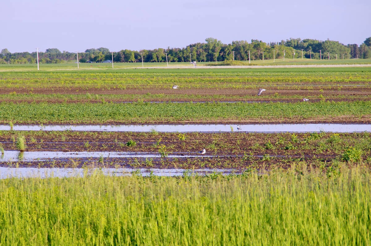
VIDEO: What climate change data gets wrong about the Prairies
Precipitation, not temperature, may be a better gauge of climate change impact on the Prairies, says director of the Prairie Adaptation Research Collaborative.
An area of low pressure is forecast to develop to our southwest early next week and then track toward the Great Lakes by mid-week. Most of the precipitation from this low should stay to our south but southern and central regions will likely see clouds with the odd shower late Monday and into Tuesday. Temperatures will moderate a little bit ahead of this low, with highs on Monday expected to be around 14 C. Weak high pressure will build back in by mid-week, bringing a return to sunny and seasonable weather.
Usual temperature range for this period: Highs, +6 to +16 C; lows, -4 to +5 C.


