
It’s no crystal ball, but when a new computer modelling program now under development is complete, a much clearer picture how various flood and drought scenarios could impact the rural landscape will emerge.
Delegates at last month’s Manitoba Conservation District Association annual convention heard more about how a new HydroGeoSphere model under construction will work and be used to predict and monitor how water and land interact in the Assiniboine River Basin (ARB) and how communities can plan ahead for it.
Work on the model is now well underway Duncan Morrison, executive director Manitoba Forage and Grasslands Association (MFGA), said in a presentation at MCDA.
Read Also

Manitoba farm group a finalist for national water award
The Manitoba Forage and Grassland Association’s Aquanty Project for local hydrological modelling has earned them one of three finalist spots for a national award from Water Canada.
The MFGA and Agriculture and Agri-Food Canada’s Agri-Risk Initiative will be the licence holders for the risk management tool, which is being developed by Canadian firm Aquanty Inc.
“We’re right on schedule,” he said. “We’re really excited about the progress that’s being made. When it’s all sewn together it will be out in 2018.”
When up and operating, the HydroGeoSphere simulation software will be capable of running complex simulations of water movement through surface water and groundwater flow systems, said Morrison who spoke at MCDA on behalf of the project’s Waterloo-based senior scientist Steven Frey who was unable to reach Brandon due to storm conditions.
By “sewn together” Morrison was referring to how the program will ultimately link the models for the Qu’Appelle, Assiniboine and Souris sub-basins in Saskatchewan, Manitoba and North Dakota.
“An analogy of how these are built can be lego bricks,” Morrison said. “Think of different layers of lego of all shapes and sizes, with each brick as a computational node.
“Once the models are built they need to be filled up with water in a numerical sense.”
The end result is a multi-faceted platform that will have the capacity to simulate interaction of water and land, and help predict and analyze different scenarios across the entire Assiniboine River Basin.
HydroGeoSphere models are now used worldwide and have been deployed in places like Canada’s Athabasca oilsands and in drought-stricken California.
Aquanty Inc. is developing the data analytics system that will be run on a high-performance computing system from IBM. Existing data on the Assiniboine basin, as well as the Qu’Appelle and Souris sub-basins and Birdtail watershed, will be fed into the platform.
The program accounts for various soil characteristics, land topography, surface and soil moisture and groundwater levels and can show how various water flows interact with the environment.
By the time of its release work will have been done to make the model user friendly for stakeholders, Morrison said, noting that’s work underway by computing giant IBM, a key contractor with the Aquanty project.
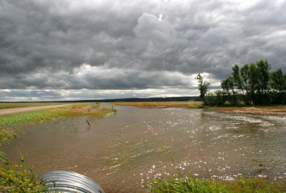
Multiple flooding events in Manitoba, Saskatchewan and North Dakota have resulted in crop losses and property and infrastructure damages in the billions of dollars in recent years.
MFGA is working with a steering committee of stakeholder groups that wants to be able to better plan and mitigate for future events such as these.
The first deliverable of this project is developing the model, Morrison said. The second is to gain a greater understanding of the role of forages and grasslands for flood and drought mitigation. Morrison showed slides in Brandon from the Land Institute in Kansas, demonstrating how substantially deeper and complex are the roots systems of native grasslands systems compared to those of annual crops.
The model can help determine where more forage and grasses in key regions could help both slow or store water, he said.
MFGA continues to work with its steering committee to figure out how the model will eventually be made accessible to those wishing to use it.
“We’re going to be marketing it to the various groups,” Morrison said. “Manitoba’s conservation districts would be a perfect example of those that could use it and run the different scenarios.”
The project was announced in early spring of 2016 with a $1.1-million investment from the federal government.
The MCDA is one of numerous supporters and partners with the project.