Reuters — A U.S. government weather forecaster said on Thursday La Nina has ended and El Nino-Southern Oscillation (ENSO) neutral conditions are likely to continue through the Northern Hemisphere summer.
“ENSO neutral” refers to periods in which neither El Nino nor La Nina is present, often coinciding with the transition between the two weather patterns, according to the National Weather Service’s Climate Prediction Center (CPC).
There is a 67 per cent chance the pattern will be seen in the June to August period, but “La Nina chances are around 50-55 per cent during the late fall and winter,” the CPC said.
Read Also
Prairie forecast: Cooler than average temperatures expected to continue
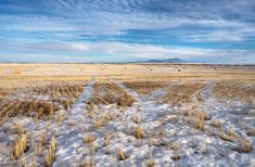
While temperatures will gradually trend upward as the Prairies move into spring, the overall cooler-than-average pattern remains firmly in place. Current indications suggest this will persist for at least the next 7 to 10 days.
The ENSO weather pattern is marked by average long-term ocean temperatures, tropical rainfall and atmospheric winds.
The La Nina pattern is characterized by unusually low temperatures in the equatorial Pacific Ocean and is linked with floods and drought.
The centre predicted last month a transition from La Nina to neutral conditions, with an 80 per cent chance of the ENSO pattern during May-July 2021.
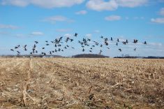
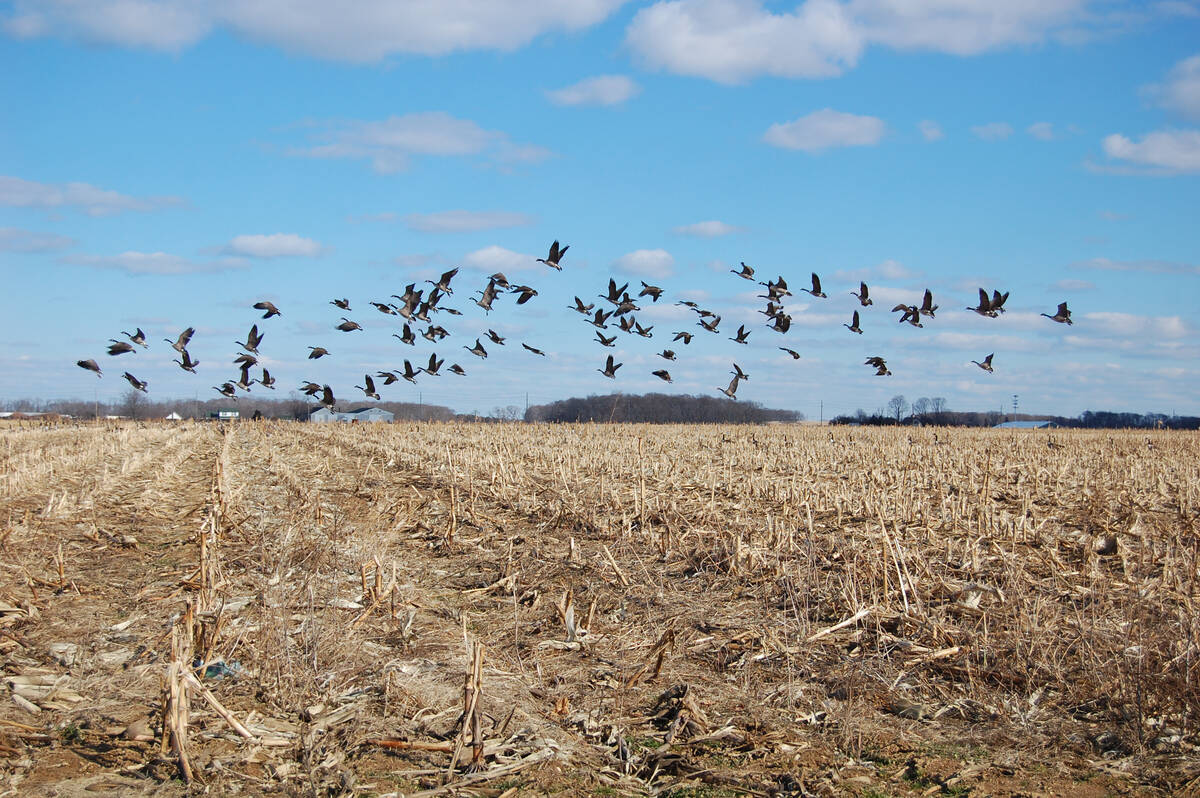
Anomalies known to occur in Canada during a La Nina event include colder-than-normal temperatures on the Prairies and above-average precipitation in British Columbia, Ontario and Quebec, according to Environment Canada.
— Reporting for Reuters by Sumita Layek in Bangalore. Includes files from Glacier FarmMedia Network staff.