It seems like each week, forecasts start out the same, and this week is no exception. Last week’s forecast did a pretty good job, and this week’s forecast is starting off with a storm system affecting some or all of southern and central Manitoba.
A strong area of low pressure will likely depart southern Manitoba by Wednesday, after giving what should be the first widespread significant snowfall of the season. The previous storm systems that have hit us over the past several weeks all lacked cold air, but this system will be able to feed into some fairly cold air building southward out of the western Arctic. Even if this system doesn’t bring the anticipated heavy snow, it will definitely be followed by a dramatic cool-down.
Read Also
Forecasting spring 2026 weather on the Prairies
What weather can farmers expect across Manitoba, Alberta and Saskatchewan as they head into seeding? Plus: a lesson on what makes the seasons turn
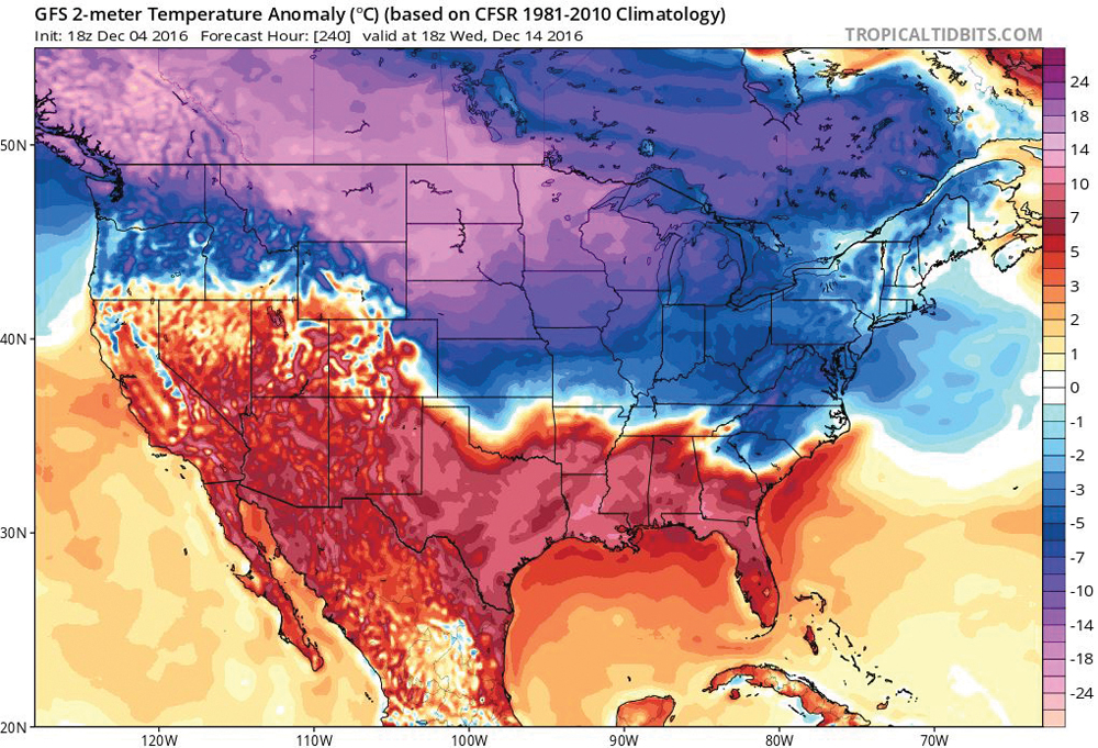
We’ll see the cold air move in on Wednesday and arrive in full force by Thursday or Friday. Expect overnight lows to drop to around -20 C, possibly even colder if we end up with a deep snowpack. The centre of the arctic high is forecast to stay to our west, which means western regions will likely see the coldest temperatures. We should see a little bit of a moderation in temperatures over the weekend, with highs expected to be around -14 C and overnight lows around -18 C.
The weather models then show a weak system pushing by to our south. We may see some clouds and possibly some flurries from this system, but the arctic high should keep most of this to our south. This system will be followed by another shot of arctic high pressure that will bring bitterly cold temperatures, with most regions having a good chance at seeing -30 C readings by Wednesday morning.
Usual temperature range for this period: Highs, -16 to -1 C; lows, -26 to -10 C.


