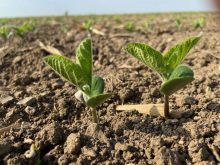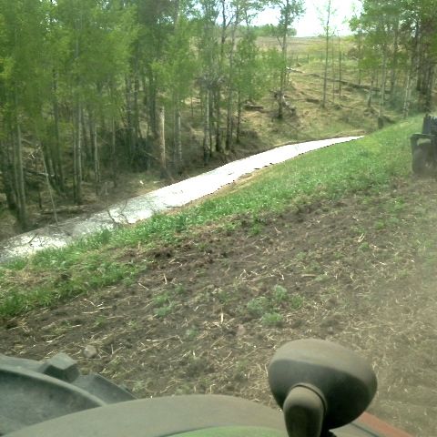
CNS Canada — Much of Western Canada can expect to see more wet weather this week, after heavy rains over the weekend halted field work in the eastern Prairies.
Drew Lerner, senior agricultural meteorologist at World Weather, Inc. in Kansas City, doesn’t expect a lot of fieldwork will get done in coming days in the southern half to two-thirds of the Prairies, with more pressure for abandonment of acres in Manitoba.
“I think we still got enough moisture in the pipeline that we’ll get feedback moisture for quite a while.”
Read Also

Pulse Weekly: India to make pulse tariff announcement on Tuesday
Canadian peas and lentils could experience some shifts come March 31, as India is set make an announcement on its pulse import duties that Tuesday.
This may start to change sometime next week, he said, when warmer temperatures are expected to coincide with slightly less moisture.
“I think there will be some shifting in the weather as we go deeper into July that will provide some short-term bouts of warmer weather and less rain” in the form of scattered showers, he said.
Lerner said he still expects the western portion of the Prairies to end up drier than central or eastern regions. Central and northern Alberta, he said, will probably have a drier bias as we get into August and September.
“The areas further to the east I would expect to continue seeing periodic showers.”
El Nino
At this point, Lerner said, he also believes El Nino’s impact on Western Canada will be lighter than expected.
Subsurface ocean temperature anomalies have weakened in recent weeks, meaning the warm water lurking below the surface of the Pacific Ocean is less dramatic than what was noted earlier this spring.
Also, the approach of the warm water to the surface is slowing down, as there is increasing cool water (about 100 metres) below the warm body.
“It may have some influence on the later summer and early autumn by maybe warming things up a bit but that’s going to be totally determined by what happens in the ocean’s temperature these next few weeks.”
El Nino will also have to interact with other weather patterns in North America, like the 18-year weather cycle, Lerner cautioned, so it’s not “the only game in town.”
Lerner and his team are already crunching information for El Nino’s winter outlook. Off the cuff, he said, he speculates the coming winter may follow a similar trend to last year’s, with El Nino only offering some moderation.
— Dave Sims writes for Commodity News Service Canada, a Winnipeg company specializing in grain and commodity market reporting.