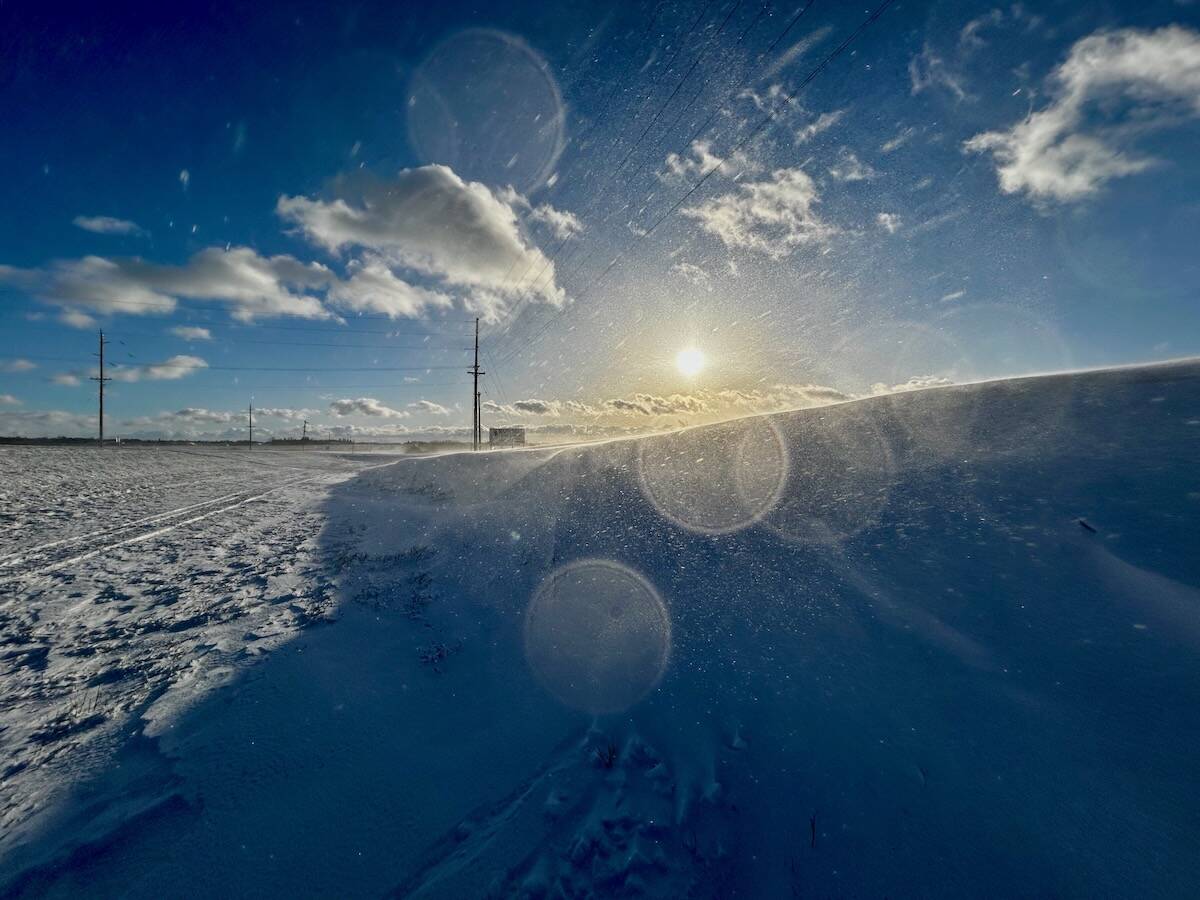
We are starting to see some cold weather. A short-lived cold snap from Dec. 5 to 7 saw overnight lows in the -30s in most areas, with some regions (including my own backyard) seeing lows in the -36 to -38 C range.
This cold weather got me thinking about different cold weather topics and I found we have not looked at a couple of them in at least four years. The first is one of the most misunderstood weather measurements: wind chill.
When we talk about apparent temperature, we consider water vapour, wind speed and actual air temperature. In the winter, we call this measurement wind chill.
Read Also

Why is the sky blue?
The colour of the skies, on the Prairies and elsewhere, tells the story of the paths sunlight takes as it enters Earth’s atmosphere, Daniel Bezte writes.
If we look at the effect of cold temperatures on the human body, one of the first things our bodies do is contract. This pulls blood away from the extremities, conserving it to help keep our core temperature warm.
This leads to a couple of things. We run a greater risk of frostbite due to lack of blood supply and we experience an increase in urine output. Now you know why you have to go to the bathroom when you get cold.
These are just the effects of cold on the body, but as almost every Canadian knows, when you add wind, everything changes. In the last cold snap, the -35 C morning had no wind and while it was cold, it did not feel too bad. A day later the temperature had moderated to around -20 C but the wind had increased significantly, and it felt as cold as the -35 C morning, if not colder.
[RELATED] Winter forecasts can be a real mixed bag
The idea of a wind-chill factor was first introduced by Paul Siple in 1939. It indicates the enhanced rate at which the body will lose heat to the air.
Our bodies keep us warm in winter by trapping a thin layer of air near the surface of our skin. When it is windy, this thin layer is lost and additional heat from our bodies is released to try and recreate this layer. The process repeats itself. The higher the wind speed and the colder it is, the faster this cycle repeats and the faster we lose heat. In addition, moisture from our bodies is being evaporated, a process that uses up more heat from our bodies.
A wind-chill formula was developed in about 1970 to calculate this rate of heat loss and it was revised into its current form in 2001, which is what we see and hear about today.
A few things can’t be built into the formula for calculating wind chill, including a person’s physical activity, the sun’s intensity and the protective clothing being worn. All can decrease the cooling effect of cold winter winds and this is where the problem seems to arise.
Some people argue that wind chill values are not very good because of these missing variables. While you could accept this argument, I believe wind chill values can help us determine how cold it feels outside.
But I do have an issue with how the media often uses and reports wind chill.
Media don’t seem to understand how wind chill works and they tend to apply wind chill to inanimate objects like a vehicle, or simply state that the wind chill temperature is the actual temperature.
It doesn’t work that way. Objects can only get as cold as the air temperature. If the wind chill indicates that it feels like -45 C but the air temperature is -25 C, then the coldest an object can get is -25 C. This includes people.
The -45 C means that you will lose heat from exposed areas at a rate equivalent to an air temperature that is -45 C, but once you hit -25 C, an object cannot get any colder. So, your car might cool off quicker but it won’t drop below the air temperature.
[RELATED] Why Manitoba doesn’t see huge lake-effect snows
The second cold topic I want to revisit is the polar or Arctic vortex. As in past winters, this weather phenomenon is starting to make news. The last little cold snap, and most cold snaps we experience, usually have their origins in the Arctic vortex.
The whole idea of the Arctic vortex is not new. It has always been a part of the winter weather pattern across the Arctic but it has been making the news cycle more often in the last decade.
A polar vortex is a large area of circulation (low pressure) in the upper atmosphere that is centred near both poles and tends to be the strongest in the winter. The counter-clockwise flow around this region in the Northern Hemisphere means that the atmosphere is flowing from west to east.
The stronger the air flowing around the vortex, the more circular the vortex tends to be and the more stable it is. If the flow weakens, the shape of the vortex is distorted and we see undulations that create large ridges and troughs. In some cases, these troughs and ridges can become elongated enough that the vortex breaks into two separate circulations. This is what often happens when we see long or deep cold snaps.
A second cause of winter cold snaps happens when the Arctic vortex gets pushed out of its position over the pole by strong northward pushes of warm air. If it gets nudged southward into Canada, the cold air comes with it and will stick around until it is allowed to drift back northward.
Sometimes this happens quickly, with cold snaps lasting a week or so, and other times the pattern locks into place and we see a month or more of extremely cold temperatures.
Let’s hope we do not have to worry about Arctic vortexes too often this winter.


