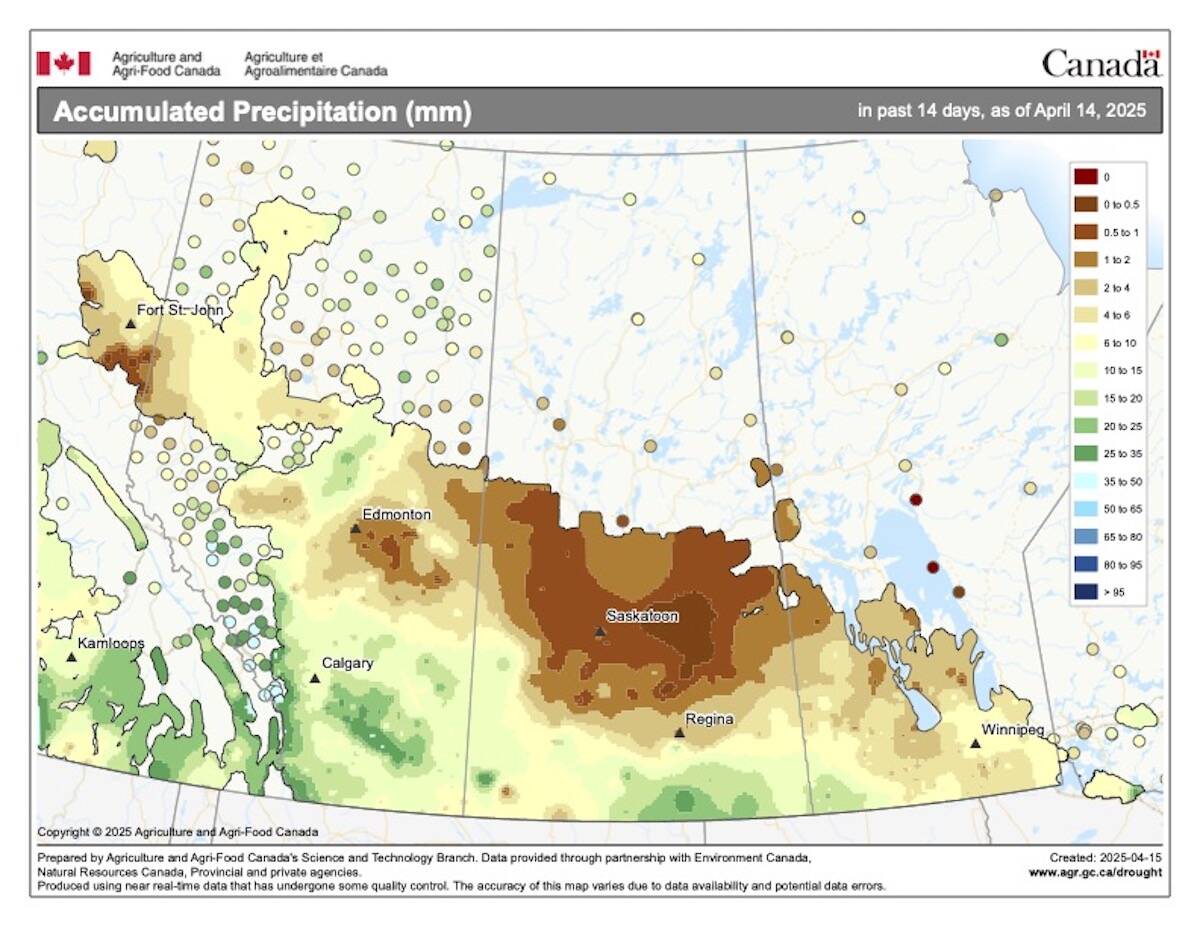
Spring across the Prairies is the one season when you can see pretty much every type of precipitation. With the mixed bag of precipitation that parts of the Prairies have seen so far this spring, I thought it might be time to go back and visit the topic of precipitation and just how precipitation forms.
Using a simplistic view, there are two types of clouds, cold and warm clouds. A warm cloud is any cloud that forms and exists in temperatures above freezing. A cold cloud is any cloud that has at least some part of it that is below the freezing point. Across the Canadian Prairies it is the cold cloud that dominates our weather for most of the year. Even in the summer, the majority of precipitation-forming clouds fall into this category.
Before we look at the precipitation process in cold clouds we need to explore the idea of super-cooled water. All of us at some point in our lives have experienced freezing rain. Freezing rain occurs when raindrops are falling on, and freezing to, surfaces that are just a little below zero. Now, if you have ever dropped some cold water onto a freezing surface, you would notice that the water does not freeze instantaneously (unless the surface is extremely cold). So, why then, does the raindrop falling from the sky freeze as soon as it hits a solid surface? The reason is that falling raindrop is in a condition known as super cooled – the liquid water in the raindrop is actually below the freezing point!
Read Also
Forecasting spring 2026 weather on the Prairies
What weather can farmers expect across Manitoba, Alberta and Saskatchewan as they head into seeding? Plus: a lesson on what makes the seasons turn
How is this possible? Well, we all learned that water behaves differently than most other substances on earth. While other substances are most dense when they become solid, water is most dense at +4ºC. If water didn’t behave inthis way we wouldn’t be here. Just think what would happen to rivers, lakes, and oceans if ice were heavier than water! Ice would form on the surface, sink, allowing new ice to form, sink, and eventually all the Earth’s water bodies would freeze solid! Well, the uniqueness of water doesn’t end there. Strangely enough, when we are looking at water in the atmosphere it doesn’t normally freeze at 0ºC.
For atmospheric water to freeze, it has to have something to freeze onto. Just like water droplets need something to condense onto, ice crystals need something to freeze onto. The problem that arises is that in the atmosphere there are large numbers of particles for water to condense onto (condensation nuclei) but very few particles for water to freeze onto (ice nuclei). For ice to form (at temperatures just below zero) you need a six-sided structure, and there are not many of these around. Ice crystals themselves are six-sided, but where do you get the ice crystal in the first place? Because of this, if the cloud temperature is warmer than –4ºC, the cloud will be made up of super-cooled water. If we cool them could down to around –10ºC, ice crystals will begin to form even if there are no ice nuclei, so at these temperatures the cloud will consist of a mixture of ice crystals and super-cooled water. The super-cooled water that falls from these clouds will freeze as soon as it hits a cold surface. Once temperatures fall to –30ºC the cloud will consist almost entirely ice crystals, and if we are colder than –40ºC the whole cloud will be made up of ice crystals.
Okay, so now we know that within cold clouds we will usually have a combination of ice crystals and super-cooled water. How does this tie into the creation of precipitation in cold clouds?
If you recall, rain develops in warm clouds through a process known as collision and coalescence. Water droplets are very tiny and due to the movement of the atmosphere, they rarely will fall to the ground. For rain to fall these water droplets collide and grow together until they are big enough to fall to the ground. In a cold cloud we have a similar process (although it’s called something different), but before this can occur another process has to work its magic – the Bergeron process.
The Bergeron process relies on another unique property of water, and that is, if there is just enough water vapour in the air to keep a super-cooled water droplet from evaporating, then there is more than enough water vapour in the air for an ice crystal to grow larger. Because the saturation vapour pressure over ice is lower than that over water, ice crystals will attract water vapour more readily than water droplets will.
Our cold cloud now has ice crystals in it and these ice crystals are growing. As the crystals grow, they pull water vapour from the atmosphere. As the amount of water vapour in the atmosphere drops, our super-cooled droplets will begin to evaporate to help make up the difference. These droplets evaporate and the ice crystals continue to grow at the expense of the super-cooled water droplets. After a while, the cloud consists mostly of ice crystals. This process by itself would only result in light amounts of precipitation though, for heavier precipitation we need the second process to kick in. In a cold cloud we call this second process – riming and aggregation.
As I pointed out earlier, this second process is much like the collision and coalescence process in warm clouds. Ice crystals fall and collide into either super-cooled water and grow larger (riming), or they collide into other ice crystals and grow larger (aggregation). Aggregation occurs best when cloud temperatures are only slightly below zero, as the warmer temperatures allow the ice crystals to have a wet surface that helps other ice crystals stick to them. This is one of the reasons we see large snowflakes when it is relatively warm.
In the next issue we’ll continue our discussion by looking at different forms of precipitation.


