Another month has come and gone and 2013 is quickly coming to an end. While it is a little too soon to make a summary of this past year’s weather, it’s time to see how November’s numbers added up.
November started off fairly nice, with daytime highs pushing the 10 C mark in the first few days. Temperatures then began to cool down a bit, with highs dropping down to around +2 C and overnight lows slipping down to around -14 C. Along with the colder temperatures came a little snow, at least in some regions, but for the most part, accumulations were less than five centimetres. With some snow around, temperatures were able to really cool off, with overnight lows pushing -20 C by the 11th of the month.
Read Also
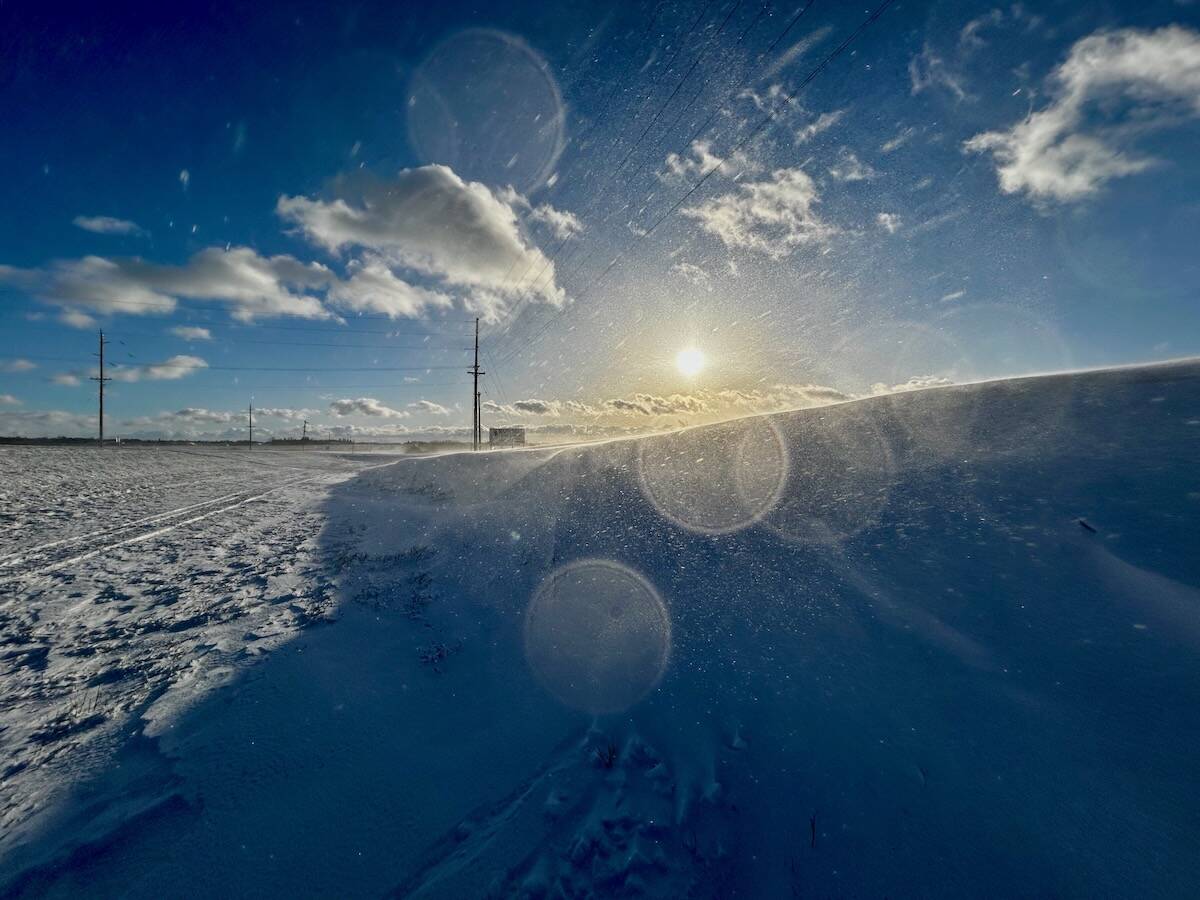
Why is the sky blue?
The colour of the skies, on the Prairies and elsewhere, tells the story of the paths sunlight takes as it enters Earth’s atmosphere, Daniel Bezte writes.
Luckily these cold temperatures didn’t stick around for long, as highs by the 13th were once again approaching +10 C. These mild temperatures stayed around for about four or five days before a system came along and dumped five to 10 cm of snow across a good portion of southern and central Manitoba. A push of cold air behind this system, combined with the fresh snow cover, allowed temperatures to really drop during the third week of November. Overnight lows were in the -25 C range, with some locations making it to -30 C. The last week of the month saw average late November temperatures, along with a few light dustings of snow here and there.
Overall, it was a pretty quiet month, with no major storm systems. When all the numbers are added up, southern regions saw slightly below-average temperatures for the month, with both Winnipeg and Brandon experiencing a mean monthly temperature of about -6.5 C, about 1° below average. Farther north, around Dauphin, it was a little milder, with a mean monthly temperature of -5.7 C, right around average.
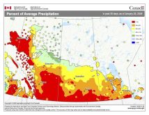
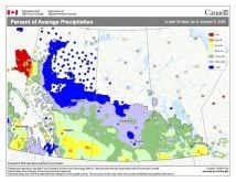
With no major storm systems hitting our part of the world during November it is not surprising that all three regions saw below-average amounts of precipitation. The Brandon-to-Winnipeg corridor saw around 15 millimetres of precipitation recorded during the month, but areas farther south were very dry, with fewer than five mm reported in most regions. Dauphin was pretty dry as well, with only about six mm of precipitation recorded. The only areas that came close to seeing average amounts of precipitation during the month were the far eastern regions, along with the Interlake. Overall, November 2013 will go down as a cooler- and drier-than-average November.
Who called it?
Which of our four different forecasters were able to predict this? Well, it appears that the winner is… my forecast! Environment Canada had called for above-average temperatures and near-average amounts of precipitation, with above-average amounts the farther north you went, so they were off by a fair bit. The Old Farmer’s Almanac had also predicted above-average temperatures and near-average amounts of precipitation. The Canadian Farmers’ Almanac went in the opposite direction and had predicted a colder-than-average month along with above-average amounts of snow. Finally, here at the Co-operator, I did predict above-average temperatures for the month, but mentioned we could see some cold weather move in during the second half of the month. In regards to precipitation amounts, I predicted we would see a below-average month. So, while I wasn’t the outright winner, my forecast, I think, was the closest.
Now on to December’s forecasts: Environment Canada calls for below-average temperatures for the month along with near-average amounts of precipitation (snow) over southern regions and above-average in the northwest. The Old Farmer’s Almanac is following EC’s forecast, with a prediction of below-average temperatures and near- to above-average amounts of snow. The ever-so-easy-to-figure-out Canadian Farmers’ Almanac appears to also call for below-average temperatures as it mentions cold several times. Along with the colder temperatures it looks like the Almanac calls for a snowy month, with snow or heavy snow mentioned several times. So, all three forecasts are for a cold and fairly snowy month.
Last but not least is my forecast. Based on the medium-range weather models, it looks like we will have a pretty cold first half of the month, and I think we’ll have a hard time making up for the cold during the second half of the month. So, I have to go with the other three forecasters and call for below-average temperatures. As I always point out, monthly precipitation forecasts in the winter are super tough. The general pattern setting up at the moment looks to be fairly active, though, so I think I’ll have to go along with the two almanacs and call for a snowier-than-average December. I will have to do some back checking, but I think this might be the first time all of the forecasts call for the same thing! Could we all be wrong? Only time will tell.


