The weather models have been bouncing around over the last week, but over the last couple of days they seem to be coming into agreement on the forecast — and that forecast is for good old summer weather.
The models show the upper ridge of high pressure, which brought plenty of sunshine and warming temperatures over the weekend and into the first half of this week, breaking down a little bit as a strong area of low pressure develops to our west. Originally the models were bringing this low across southern regions of Manitoba, but they have now come into agreement that this low will track well to our north. This means southern and most of central Manitoba will see more sun than clouds this week, along with high temperatures in the mid- to upper 20s. We could see the odd shower late Wednesday or early Thursday as the low passes by, but other than that it looks pretty dry.
Read Also
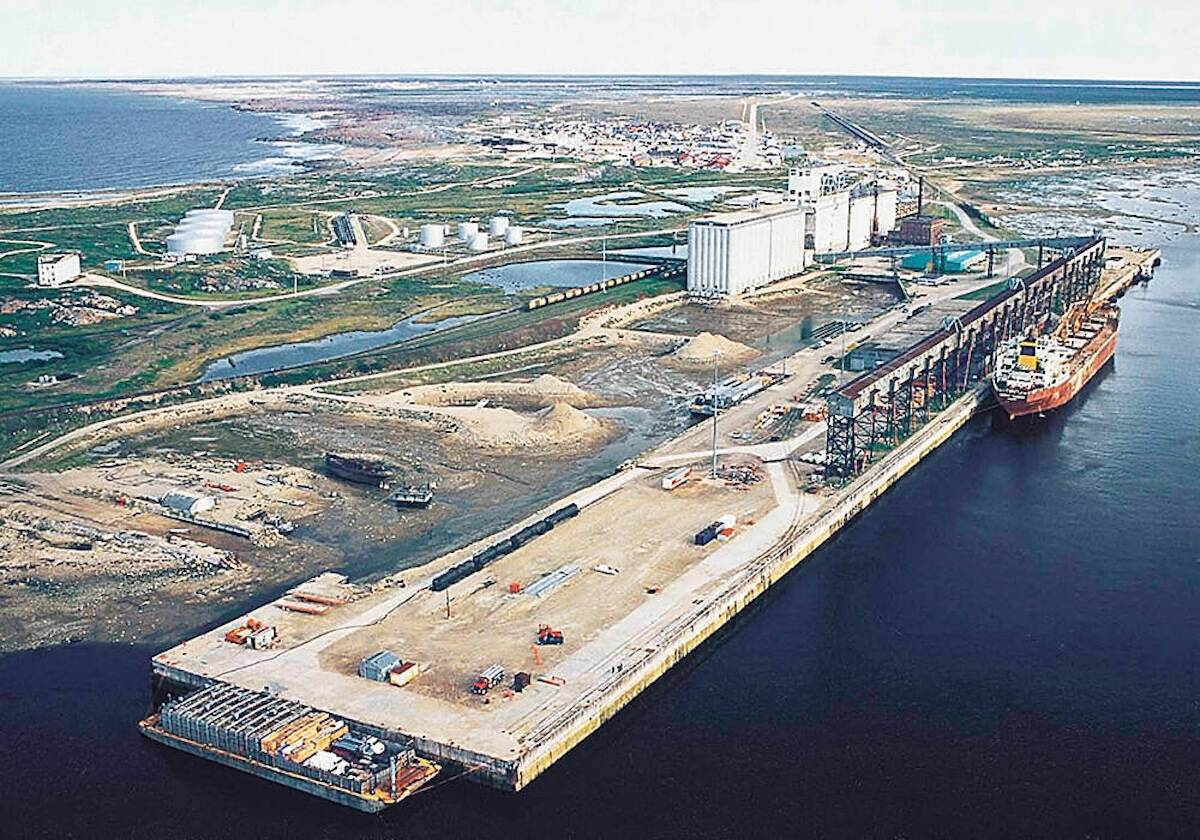
Manitoba, Ottawa sign deal to fast-track projects like Port of Churchill expansion
Manitoba and Ottawa have signed a regulatory streamlining agreement that names the Port of Churchill expansion as a priority infrastructure project.
Over the weekend a much broader ridge of high pressure is expected to develop over the central part of North America. This ridge will allow temperatures to increase and we’ll likely see high temperatures for most of the first week of July in the upper 20s to low 30s. There will be the chance for the occasional thundershower during this period as our region will be on the northern fringe of the high.
Looking further ahead, the weather models show very summer-like conditions, with plenty of sunshine and warm temperatures, along with the occasional thunderstorm. There are some indications that a significant heat wave could develop late next week and last into the early part of the following week, but confidence in this is not that high at this time.
Usual temperature range for this period: Highs, 21 to 30 C; lows, 9 to 16 C.