It looks like it could be more of the same challenge weather in the future for key growing regions.
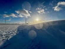
A severe drought that has gripped parts of the western United States since mid-2020 is likely to persist or worsen this spring due to expected above-normal temperatures and below-normal precipitation, the National Oceanic and Atmospheric Administration (NOAA) said recently.
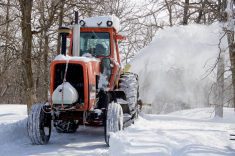
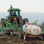
Dry conditions will enhance the risk of wildfires across the Southwest and southern U.S. Plains and stress farms in California, the nation’s top agricultural producer, NOAA said in its spring outlook.
Read Also
Farm sustainability means farmer wellness too
University of Manitoba LEAP program wants to talk farm succession, self-efficacy and community supports as part of agriculture wellness and sustainability study.
More than 60 per cent of the continental United States is already classified as being under minor drought or worse, the broadest area since 2013, according to the National Drought Mitigation Center.
“Prolonged, persistent drought will continue to impact much of the West and drought is forecast to develop during April through June in areas of the Southwest and central and southern Plains,” Jon Gottschalck, chief of the Operational Prediction Branch of NOAA’s Climate Prediction Center, said during a webinar.
However, drought conditions are expected to lessen or end in the upper Midwest and in coastal areas of the Southeast, he said.
The harsh pattern in the West is likely to heap further pressure on communities already on edge after recent years of severe wildfires and shrinking water reserves.
Water levels on Lake Powell, which provides water for Nevada, Arizona and California, are record low.
The drought has already forced farmers in the country’s top crop state to conserve water by reducing production or watering fruit and nut trees just to keep them alive.
“Since the beginning of the 21st century, about three out of four years in California have been drought years. That has led producers to have to adapt to the new normal, which is drought more often than not,” said Brad Rippey, meteorologist with the U.S. Department of Agriculture.
“It does make for some very difficult producer decisions as to what to continue to grow and what to keep alive,” he said.
LatAm La Niña
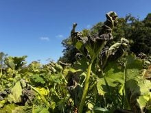
Meantime, Argentina’s farmers could be hit by a third straight La Niña weather phenomenon, the Rosario grains exchange said, which would mark a potential blow for the grains-producing nation’s upcoming 2022-23 season.
The climate pattern, which has already disrupted two consecutive seasons, generally brings lower rainfall in key farming regions, which can hurt production in the world’s top exporter of processed soy and No. 2 exporter of corn.
“There is a reasonable chance that the force of La Niña will continue into the Southern Hemisphere’s winter,” the report released late on Thursday said, adding it had been 20 years since the last time Argentina faced three straight La Niñas.
“From that moment on, there is a very even probability (40 to 50 per cent) of a transition to La Niña, which would be the third consecutive one.”
The weather pattern caused significant soybean and corn losses in the 2020-21 and 2021-22 seasons. It will likely be present during the upcoming winter period and could hit wheat crops, which undergo yield development stages during that period.
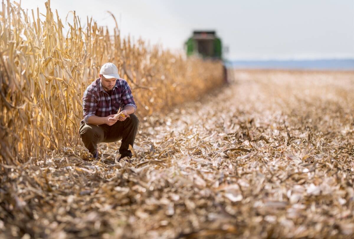
Farmers will start planting 2022-23 wheat in late May, after harvesting a record 22.1 million tonnes in the 2021-22 cycle.
“The problem with these scenarios is that month by month a water shortage that becomes structural worsens,” the exchange said. “The deep soil levels are severely dehydrated.”
A drought that affected important farming zones between December-February caused the exchange earlier this year to slash its estimates for 2021-22 soybean and corn production by five million tonnes and eight million tonnes respectively.