The weather page is prepared by Daniel Bezte. Dan has a BA Honours degree in geography, specializing in climatology, from the U of W. He has taught climate and weather classes at the U of W, and is a guest climate expert on CJOB’s morning show with Larry Updike. Daniel runs a computerized weather station on his 10 acres near Birds Hill Park, which he plans to develop into a small vegetable and fruit hobby farm.
Daniel welcomes questions and comments at [email protected]
Read Also

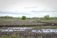
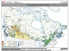
June brings drought relief to western Prairies
Farmers on the Canadian Prairies saw more rain in June than they did earlier in the 2025 growing season
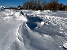
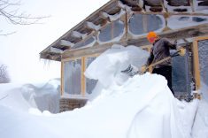
The weather pattern is not going to change much during this forecast period, which means we should be ready for some occasional light snow every couple of days, along with continued cool-to-cold conditions.
The general flow over our region continues to be out of the northwest. Embedded in this flow will be several weak areas of low pressure. We saw two of these lows move through southern and central Manitoba last week and it looks like we will see two more during this forecast period.
The first low will be fairly weak and will bring a slight chance of some light snow on Wednesday. A second stronger low is forecast to move through southern areas during the day on Friday. This low does have the potential to dump some measurable snow. Behind this low, arctic high pressure will begin to build southward, helping to reinforce the cold air already in place.
Over the weekend we will have to keep an eye on a Colorado low that the models are forecasting to develop. With arctic high pressure building southward over the weekend, this storm system will probably stay south of the border. Should the arctic high be slower moving south, or take a more westerly path, there is a slight chance we could be sideswiped by this low.
Once this system pushes by, the models are showing cold high pressure settling in over our region, bringing several days of cold temperatures with overnight lows pushing the -30C mark.
Usual temperature range for this period: Highs: -18 to -2C. Lows: -28 to -11C.