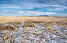
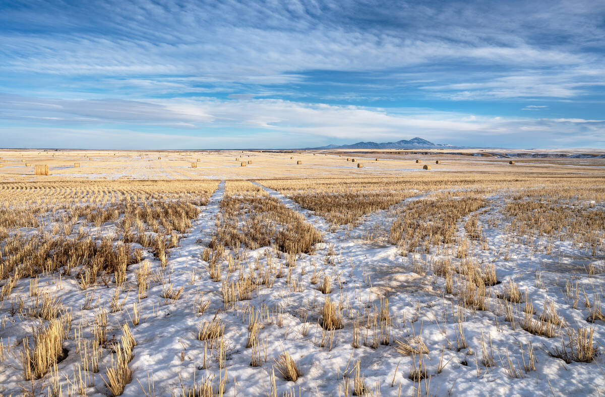
Despite a rather weak weather pattern over the last week, the weather models did a fairly good job with the forecast. The toughest part was trying to capture some of the weak disturbances that triggered some flurries, freezing drizzle, and a little bit of light snow here and there across the prairies.
Looking at this forecast period, the best way I can describe it is that we will be seeing a slow slide into more seasonal temperatures. The persistent upper-level ridging that brought warm–and record warm temperatures–to much of the prairies in December has broken down. The weather models are showing a trough of low pressure developing over the west coast over the next seven days.
Read Also
Prairie forecast: Warm start then cooler air to move back in
While spring appears to be gaining a foothold across the western Prairies, it continues to struggle across the eastern regions. This forecast period looks milder than the last, but weather models are still not showing a clear or sustained shift toward a more spring-like pattern.
This pattern usually results in not only colder temperatures for our region and also a better chance of storms. Currently the dividing line between mild air and cold air stretches from the Yukon southeastwards into northern Manitoba. As the west coast trough slowly develops, this line will drop southwards allowing for colder air to slowly work it’s into the prairies. Manitoba will likely see the coldest weather, at least to start, and Alberta the warmest.
The weather models are not showing any major snowstorms impacting the prairies during this forecast period but there are some hints of the potential for a storm right at the end of the model forecast range. That’s two weeks out, so confidence is low. I only mention it so it could maybe give us the hope for some much-needed moisture.
Alberta
As mentioned above, Alberta will be the last to see the colder weather move in as arctic high pressure slowly drops southwards over the next seven days. Daytime highs will continue to be mild until the weekend with temperatures ranging from -2 to +4 C depending on cloud and snow cover.
Over the weekend, temperatures will begin to cool down and by early next week northern and central regions will see highs falling into the -15 C range with overnight lows falling to around -25 C. It will take until Tuesday or Wednesday for southern regions to see these temperatures.
As the colder air slowly slumps southwards, several weak areas of low pressure will develop and quickly move off to the southeast. Each of these systems will bring the chance of widely scattered snow showers but significant accumulations are not expected. With that said, given the right conditions, a quick 5 cm of snow in some regions can’t be ruled out. The exact timing of these systems is tough to pin down, but best chances will be over the weekend and then late in the forecast period.
Saskatchewan
A similar situation will play out over Saskatchewan, only temperatures will start off a little cooler and the colder air will move in a little earlier. Expect daytime highs to start off in the -5 C range with overnight lows falling to around -14 C. As we move into the weekend the colder air will begin pushing in. causing daytime highs to fall to around -15 C with overnight lows dropping to around -25 C. These cold temperatures will last right through to the end of this forecast period and there is the potential for temperatures to fall even further. The first -30 C readings of the winter are possible.
Precipitation looks to be light and spotty as a few weak areas of low-pressure ripple along the edge of the cold air as it drops southwards. Best chances for snow look to be on Friday, Sunday, and the following Wednesday. Any snow that does fall looks to be light.
Manitoba
This region will start off with seasonable mild temperatures with daytime highs in the -8 C range with overnight lows falling to around -15 C. Colder air will work in over the weekend with highs falling to around -15 C by Sunday and will likely drop to around -18 to -20 C by Monday or Tuesday. Like with Saskatchewan, there is the chance of seeing the first -30 C overnight lows of the winter, but it will all depend on winds and cloud cover.
Like Alberta and Saskatchewan, the chance for any snowfall is not high but the weather models are showing two weak systems impacting the region. The first is on Sunday and the second is on the following Wednesday. Both of these lows don’t look like they will bring much moisture, instead bringing clouds and scattered flurries with maybe a few locations seeing a couple of centimeters of snow.