The weather models have come into fairly good agreement for the storm system forecasted to impact much of the southern prairies over the next 24 to 48 hours. An area of low pressure is developing over Wyoming with an inverted trough stretching northwestwards.
Over Alberta, this low should bring snow on Saturday to most areas south of Edmonton with general amounts in the 5cm range. Amounts will increase towards the 10 to 20 cm range for eastern regions near the Saskatchewan border. It looks like the snow will move out of the region by mid-day Sunday.
Read Also
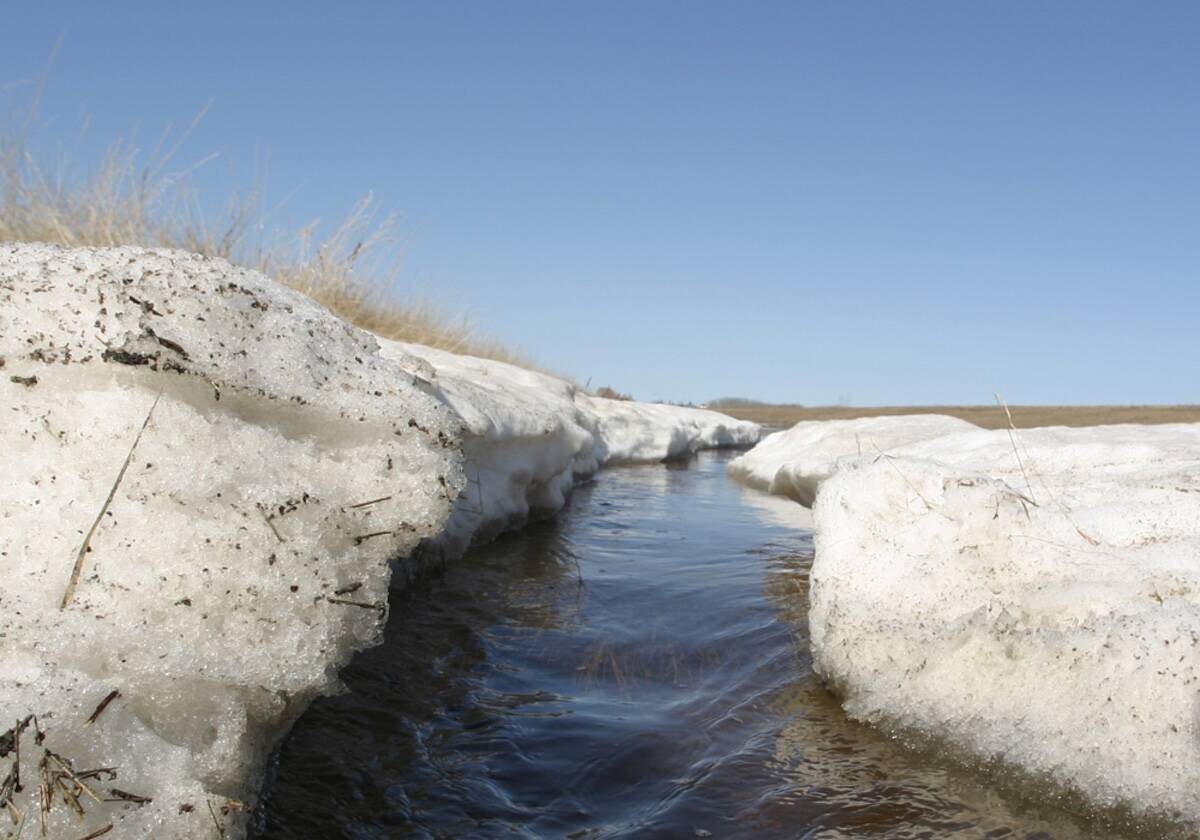
Prairie forecast: Arctic air keeps spring warming at bay
This week’s forecast: Arctic high pressure is expected to drop southward into the Prairies later this week and into the weekend, keeping temperatures below average.
Over Saskatchewan, the weather models are showing a lot of snow and blowing snow. The snow should begin over western regions early Saturday afternoon with widespread snow developing across all regions overnight and into Sunday.
Late snow predictions are calling for between 20 and 30 cm of snow with the highest amounts expected to fall in a band stretching form the Alberta board eastwards through Saskatoon and then southeast to wards western Manitoba. Winds will also be an issue with gust forecasted to be in the 60 to 70 kph range beginning later today. The snow should over southern regions by Sunday evening with snow lingering until Monday morning over central regions.
Things get really messy over Manitoba with the CFS model tracking the low a little further west and the Canadian model. The track of the low will be important in determining just how much snow will fall and where. Warm air that is pulled up ahead of the low will cause any precipitation falling of the east side of low to be either rain, freezing rain, or ice pellets. To the west of the low it will be snow.
Both weather models show precipitation moving into the region in two waves. The first will be overnight Saturday with a general 3 to 5 cm of snow expected. Then, as the main low moves in, widespread snow will develop during the day Sunday. It looks like the southeast corner of Manitoba will see mixed precipitation to start off before it changes into snow by the afternoon. Total accumulations of snow are forecasted to be in the 15 to 25cm range with lesser amounts in those regions that see rain or freezing rain.


