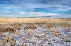
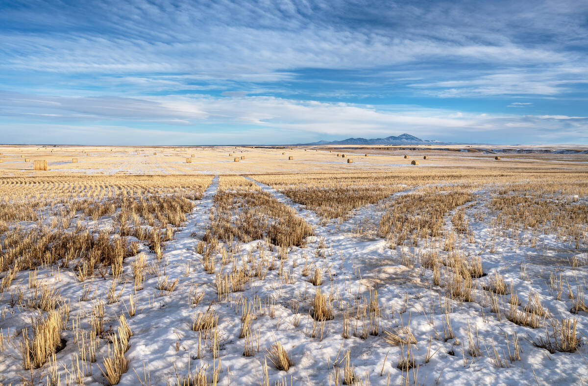
Spring has definitely sprung across the prairies with only a few locations still having snow cover. Spring is a notorious time for forecasting as warm air builds to the south while cold air still sits to the north. That means this forecast period looks both easy and hard.
Easy in that the weather models seem to have a decent handle on the overall weather pattern, but hard because the devil is in the details. We saw this in last weeks forecast. The overall pattern played out as expected, but little shifts here and there created situations where instead of sunshine there was clouds and instead of clouds there was sunshine.
Read Also
Prairie forecast: Warm start then cooler air to move back in
While spring appears to be gaining a foothold across the western Prairies, it continues to struggle across the eastern regions. This forecast period looks milder than the last, but weather models are still not showing a clear or sustained shift toward a more spring-like pattern.
Before we dive into the provincial forecasts, here’s how the big picture is shaping up for the week. There’s a broad but weak area of low pressure over Ontario that will impact the eastern Prairies over the next couple of days. To the west, a weak ridge of high pressure is forecasted to build ahead of an area of low pressure that is dropping southwards along the Pacific coast towards California. This will set up a westerly-to-southwesterly flow across the Prairies for much of this forecast period. Normally this would bring average temperatures, but with no snow cover and a tendency towards warmer than average conditions, I would expect average to above average temperatures.
Things may get interesting late in the forecast period. As most of you know, forecasting beyond 7 to 10 days is difficult, but the weather models are showing the low that is dropping into California kicking eastwards and turning into a Colorado low. That could bring significant moisture to the central and eastern prairies in the form a rain in Manitoba and snow over Saskatchewan.
Alberta
As I pointed out earlier in the forecast, the devil will be in the details, but here is the general picture.
Over the next few days, weak ridging will slowly build across the southern half of the province in response to an area of low-pressure that’s dropping southwards along the Pacific coast. It doesn’t look like this ridge will be that strong and will probably only push into southern regions.
Temperatures in the south should slowly moderate into the mid-teens by late in the week and into the weekend. Further north, it looks like there could be a few weak impulses working there way over the top of the ridge. These will bring a mix of sun and clouds and some widely scattered showers or overnight flurries. Temperatures will be a bit cooler, with daytime highs forecasted to be in the low teens.
Central and northern regions should see sunny to partly cloudy skies early next week with daytime highs continuing to be in the low teens. Southern regions may see a chance of rain and/or snow late in the forecast period as the Colorado low get organized and lifts northwards. There is a lot of uncertainty in this part of the forecast but, as usual for this time the year, it bears watching.
Saskatchewan
Weather conditions look like they’ll be nice and spring-like for most of this forecast period as the region gets stuck between a large, sprawling area of low pressure over Ontario and weak ridging to the west. This will place most of the province in a weak pressure pattern which means it will be tough to forecast which days will be sunny and which days may see more clouds than sun.
Daytime highs look to be seasonably mild. The weather models show highs on most day between 12 and 16 C with overnight lows falling to around +2 C. Areas that see more sun will be a little warmer, and cloudy spots will be a little cooler. The best chance for cloud looks to be on Sunday and Monday as an area of low pressure rides over top of the Alberta ridge. Little is expected in the way of precipitation.
As we head into the week of April 15th, all eyes then turn to the possible development of a Colorado low. Often in spring, these lows track more northerly than northeasterly. This is what the weather models are showing for this low. There in not a lot of confidence at this point but it does bear watching. Should it pan out as currently forecasted, the southern half of the province could see upwards of 20+ cm of snow. Watch for updates early next week as the picture becomes clearer.
Manitoba
Manitoba starts the forecast period struggling to get out of the influence of a large, but slowly weakening area of low pressure over Ontario. Eastern regions will take until Thursday or even Friday to fully clear out, while western regions should see sunny-to -partly-cloudy skies develop by late Wednesday and into Thursday. Temperatures look seasonably mild with daytime highs in the low teens and overnight lows in the 0 to +4 C range.
The weekend should be nice and sunny with light winds across the region as weak high pressure moves in. Expect daytime highs to be in the mid or upper teens and overnight lows near or just above the freezing mark.
Late in the weekend, and into the first half of next week, the weather models are showing an impulse moving in off the Pacific and pushing through California. This is forecasted to spawn a Colorado low. This low, should it develop, will begin to push mild air northwards on Sunday and Monday with daytime highs pushing towards the 20 C mark. As the low consolidates early next week, moisture is expected to push northwards on Tuesday or Wednesday, bringing widespread showers to southern and central regions.
This far out, confidence in this system is not high but it bears watching. I will issue an update early next week if needed. Currently the weather models are showing upwards of 10 to 20 mm of rainfall.
— Daniel Bezte is a teacher by profession with a B.A. (Hon.) in geography, specializing in climatology from the University of Winnipeg. He operates a computerized weather station near Birds Hill Park, Man. Contact him via email with your questions and comments.