Over the last couple weeks, I’ve been asked repeatedly, “when will summer actually get here?” This is especially true over the eastern Prairies. It just doesn’t and hasn’t felt like summer yet.
Well, it looks like the cool, unsettled weather pattern will be breaking down during this forecast period. This will allow much more summer-like temperature to move in.
The western Prairies will see a couple more days of cool unsettled weather before a building ridge of high pressure brings plenty of sunshine and warm temperatures. Over the eastern Prairies, it looks like it’ll take a few more days for the cool and unsettled weather to move out, but warmer temperatures should move in by late in the weekend.
Read Also
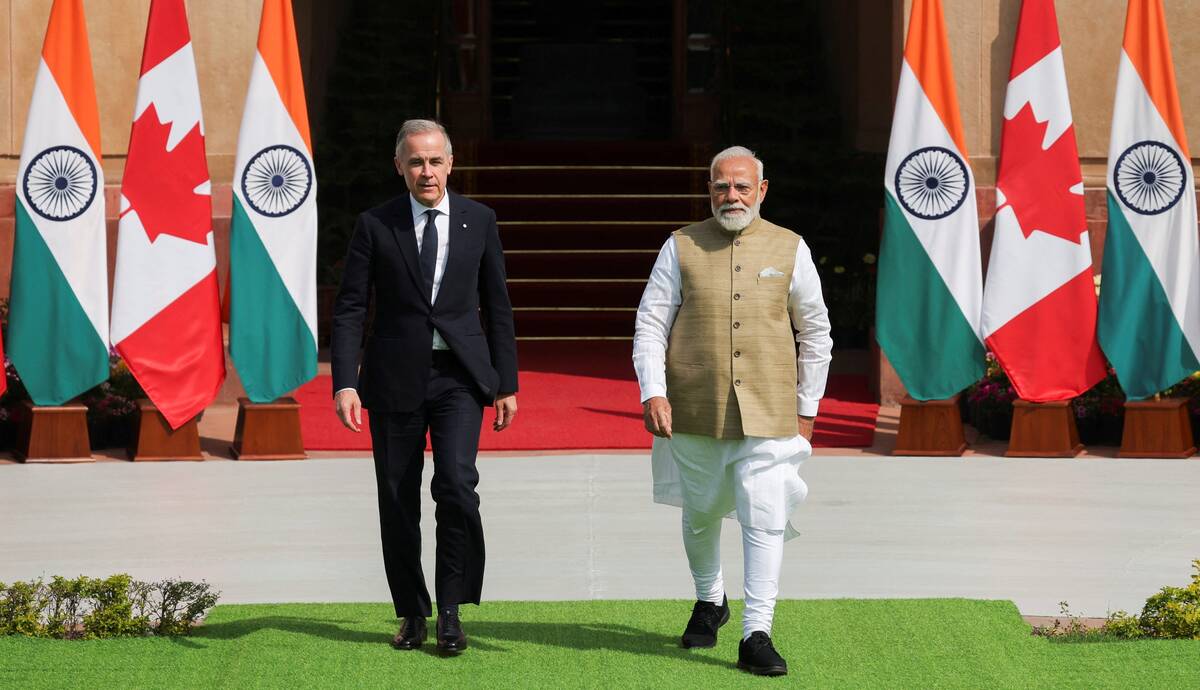
India, Canada aim for trade pact by year-end, propose pulse protein ‘centre of excellence’
India and Canada will aim to conclude a free trade pact by the end of this year, Prime Minister Mark Carney said on Monday during his first visit to New Delhi.
For those of you worried that the weather pattern will flip into a prolonged hot and dry period, the weather models aren’t currently showing this. While it is definitely looking warmer, there still looks to be several chances of precipitation over the next few weeks as there is no sign of blocking pattern developing that would bring a prolonged hot spell.
Alberta
This region will experience one or two more days of unsettled weather resulting from an upper trough of low pressure trailing behind a large low over northern Ontario. Expect a mix of sun and clouds and the chance of afternoon showers or thundershowers. Daytime highs will be near average or slightly below average with most regions making it into the low twenties.
By Friday, skies should clear out as an upper-level ridge builds over Alberta and B.C. This upper ridge will allow temperatures to warm with daytime highs pushing into the mid twenties over the weekend. Temperatures in the upper twenties to low thirties expected by early next week.
The first half of next week looks warm and dry as the upper ridge begins to push eastwards. There is some hint that an area of low pressure will ride over the ridge mid or late in the week week and bring showers and thundershowers to central and northern regions.
Saskatchewan and Manitoba
These regions will be in a predominantly northwesterly flow behind a large area of low pressure that’s slowly moving to the northeast over Ontario. There is a trough of low pressure lingering behind this low, which will keep the unsettled weather in place at least until the weekend.
Most regions will see more sun and clouds along with scattered afternoon showers or thundershowers. The cloud cover will help to keep temperatures on the cool side with daytime highs forecasted in the low twenties with overnight lows falling to around 12 C.
By the weekend, a building ridge of high pressure over Alberta will begin to push eastwards. This will allow skies to clear across Saskatchewan on Saturday or Sunday, with the clearing trend pushing into Manitoba on Sunday or Monday. As the upper ridge moves in, the skies should clear. Expect daytime highs to moderate into the mid-twenties. High twenties to around thirty degree temperatures are expected by early next week.
— Daniel Bezte is a teacher by profession with a B.A. (Hon.) in geography, specializing in climatology from the University of Winnipeg. He operates a computerized weather station near Birds Hill Park, Man. Contact him via email with your questions and comments.