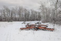
What has it been now, six or seven weeks? Well guess what? This forecast period is not looking that much different than the last one: plenty of unsettled weather. There are two main differences. First, we are now at the peak of solar radiation, a fancy term for lots of sun, so temperatures are getting warmer and warmer no matter what! Secondly, it looks like we won’t deal with any upper lows, but no promises!
For a change, this forecast period starts of with weak high pressure in place across the Prairies. This brings a mix of sun and clouds and near-average temperatures. Any below-average temperatures are the thanks to the return flow behind the strong area of low pressure which, as predicted, tracked across the central and northern Prairies and brought all sorts of severe weather earlier this week.
Read Also
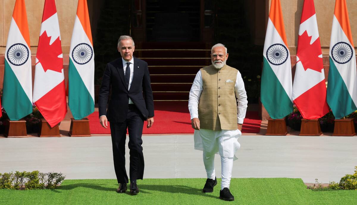
India, Canada aim for trade pact by year-end, propose pulse protein ‘centre of excellence’
India and Canada will aim to conclude a free trade pact by the end of this year, Prime Minister Mark Carney said on Monday during his first visit to New Delhi.
That weak high will be quickly pushed out by a strong area of low pressure forecasted to develop over Montana on Thursday. The low will then kick eastwards towards Lake Superior by Saturday. This low looks to bring widespread showers to much of the southern and central Prairies on Friday before high pressure builds back in over the long weekend.
Another Montana low is forecasted to develop late on Sunday and into Monday. This is forecasted to take a similar track. The difference is this low doesn’t look as strong. Looking further ahead, the weather models are hinting at a possible end to the really unsettled pattern, but there are still plenty of chances of precipitation in the long-range forecast.
Alberta
This forecast period starts with weak high pressure bringing with a mix of sun and clouds along with daytime highs in the low twenties. On Thursday, the weather models are showing an area of low pressure developing over southern Alberta which will then be captured by a stronger area of low pressure developing over Montana. This complex low will bring plenty of clouds and showers. It doesn’t look like there will be much in the way of severe weather, but at this time of the year it can’t be ruled out. With clouds and showers, temperatures will be on the cool side with daytime highs in the upper teens.
Skies should clear over the weekend as the low pulls off to the east. With the sunshine, temperatures should recover into the low to mid-twenties with overnight lows falling into the low teens. A second area of low pressure is forecasted to develop over Montana on Monday. This low looks to bring widely scattered showers to southern and central regions, but overall precipitation amounts look light. Daytime highs should remain around average with highs expected to be in the low twenties. Things should begin to clear out on Tuesday allowing temperatures to moderate into the mid twenties.
Saskatchewan and Manitoba
I sometimes get asked why I combine Saskatchewan’s and Manitoba’s forecast but not Alberta’s. Alberta, due mostly to the mountains, tends to have unique forecasts. Meanwhile, systems that move into Saskatchewan often continue traveling east into Manitoba with not much change in their nature. With that said, here is the 7-day outlook for these two regions.
Much like Alberta, this forecast period starts with weak high pressure bringing sunny to partly cloudy skies and near to slightly below average temperatures. Expect daytime highs to be with in a few degrees of twenty with overnight lows falling to around 12 C.
An area of low pressure is forecasted to develop over Montana on Thursday and clouds are forecasted to begin spreading north and east ahead of this feature. Showers and rain will begin to move into southern regions late on Thursday with most areas forecasted to see widespread rain on Friday. The weather models are showing most of south-central and southeastern Saskatchewan, along with most of southern Manitoba, receiving between 10 and 20 mm from this system. Some areas could see over 30mm should any thunderstorms develop.
There looks to be a short window on Saturday and Sunday of nice weather as the Montana low pulls off to the east and high pressure builds in. This will bring plenty of sunshine along with daytime highs in the mid twenties. On Canada Day, the weather models are showing another Montana low developing and lifting northwards into Manitoba. This system, should it develop, will bring another round a showers or periods of rain to both southern Saskatchewan and Manitoba before lifting off into northern Ontario on Tuesday.
— Daniel Bezte is a teacher by profession with a B.A. (Hon.) in geography, specializing in climatology from the University of Winnipeg. He operates a computerized weather station near Birds Hill Park, Man. Contact him via email with your questions and comments.